For historical information only, do not use for navigation or aviation purposes!
| Coordinates | N501512 E0155042 (WGS84) Google Maps |
| Elevation | 791 ft |
| Location indicator | LKHK |
The history of the Cold War airfields: Hradec Králové
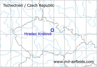
Location of airfield
North of Hradec Králové.
During the Cold War
Use
Air base.
Situation
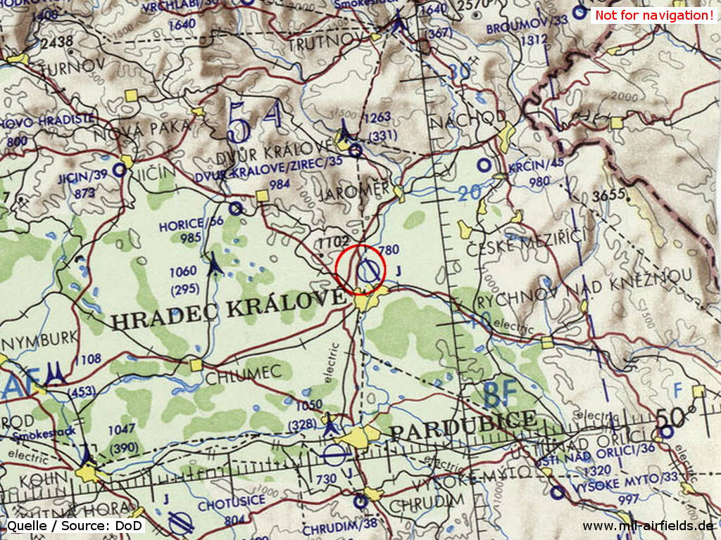
Hradec Králové Airfield on a map of the US Department of Defense from 1973
Source: ONC E-3 (1973), Perry-Castañeda Library Map Collection, University of Texas at Austin
Overview
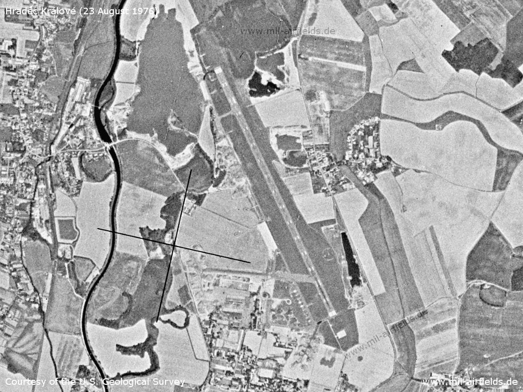
Hradec Králové Airfield on a US satellite image from 23 August 1976
Source: U.S. Geological Survey
Runways
Data for the year 1990:
- 15/33: 2400 m x 50 m
Radio beacons
Data for the year 1990:
- LOM: 422 "UR"
- LMM: 204.5 "U"
Radio communication
The radio call sign of the airfield was "UPIR" (198x).
According to western signals intelligence (SIGINT), the airfield was also called "Navigacni Punkt 380" by the Czechoslovak Air Force.
Units
47 PZLP "Atlanticky": L-29, MiG-21R, US, Su-22M4/UM3K; FLS: An-30, Avia 14FG, L-410FG, Mi-17 (1990)
Today
Use
Airfield.
Airfields in the vicinity
- 196°/28km Pardubice: Air Base (Letiště Pardubice)
 Follow mil-airfields on Facebook