For historical information only, do not use for navigation or aviation purposes!
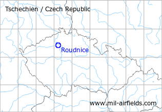
| Coordinates | N502440 E0141334 (WGS84) Google Maps |
| Location indicator | LKRO |
The history of the Cold War airfields: Roudnice nad Labem
During the Cold War
Use
Possibly reserve airfield.
Situation
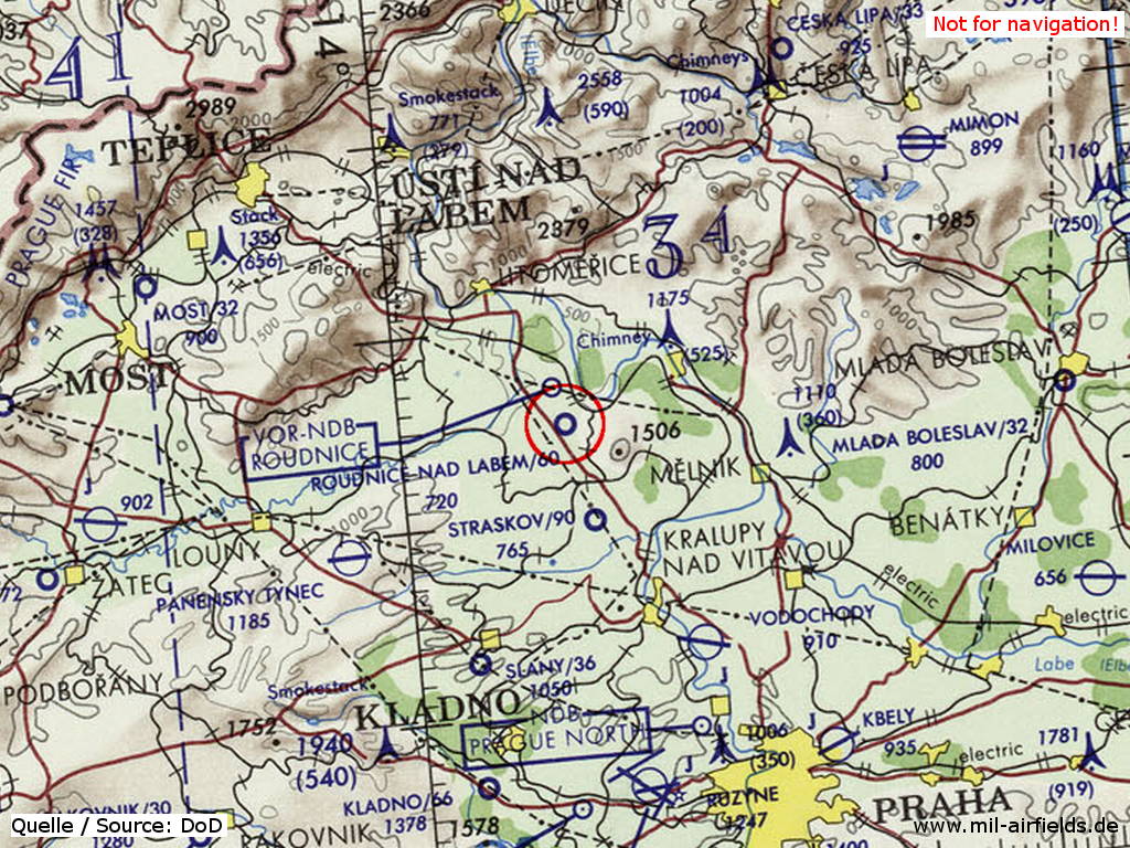
Roudnice nad Labem Airfield on a map of the US Department of Defense from 1972
Source: ONC E-2 (1972), Perry-Castañeda Library Map Collection, University of Texas at Austin
Overview
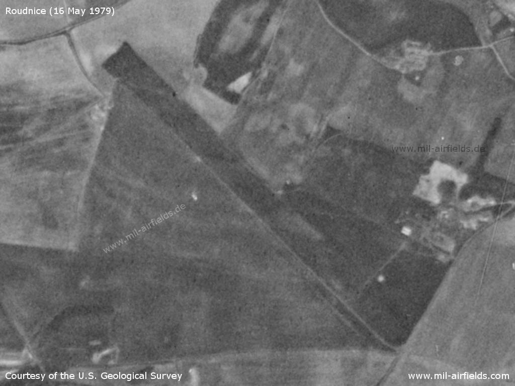
Roudnice nad Labem Airfield on a US satellite image from 16 May 1979
Source: U.S. Geological Survey
Today
Use
General aviation airfield.
Links
- http://letisteroudnice.cz/ - Letiště Roudnice
 Follow mil-airfields on Facebook