For historical information only, do not use for navigation or aviation purposes!
| Coordinates | N501928 E0141534 (WGS84) Google Maps |
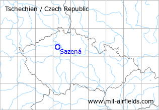
The history of the Cold War airfields: Sazená
During the Cold War
Use
Reserve airfield?
Situation
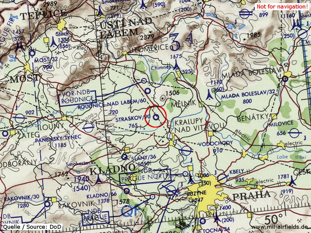
Sazená Airfield on a map of the US Department of Defense from 1972
Source: ONC E-2 (1972), Perry-Castañeda Library Map Collection, University of Texas at Austin
Overview
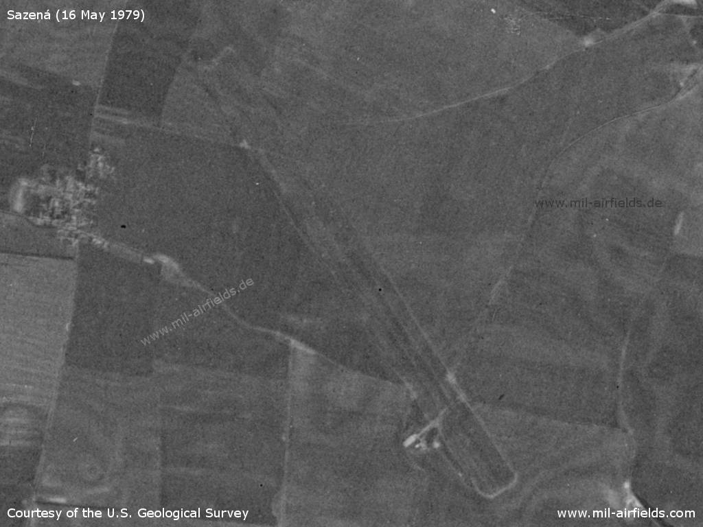
Sazená Airfield on a US satellite image from 16 May 1979
Source: U.S. Geological Survey
Runways
- 15/33: 2500 m Grass
Today
Use
General aviation airfield.
Airfields in the vicinity
- 346°/10km Roudnice nad Labem: Airfield (Letiště Roudnice nad Labem)
- 141°/15km Vodochody: Airfield (Letiště Vodochody, Klecany, Odolena Voda)
- 265°/23km Panenský Týnec: Airfield (Letiště Panenský Týnec)
- 180°/25km Praha: Ruzyně Airport (Letiště Praha Ruzyně, Prague Ruzyně)
- 208°/26km Kladno: Airfield (Letiště Kladno)
- 139°/29km Letňany: Airfield (Letiště Letňany)
 Follow mil-airfields on Facebook