For historical information only, do not use for navigation or aviation purposes!
| Coordinates | N524744 E0124449 (WGS84) Google Maps |

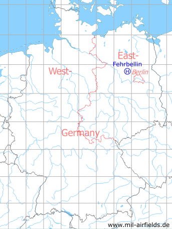
Germany during the Cold War Map
The history of the Cold War airfields: Fehrbellin
Location of airfield
2,5 km southwest of Fehrbellin.
Usage during the Cold War
Helipad 3118 for Anti-Aircraft Missile Unit 4132 (FRA-4132) of former East German Air Force (NVA LSK/LV).
Use today
Closed.
Runways, taxiways, aprons
Dimensions: 20 m x 20 m,
main takeoff and landing direction: 300°,
surface: concrete,
usable without crop damage,
capacity: 1 helicopter.
main takeoff and landing direction: 300°,
surface: concrete,
usable without crop damage,
capacity: 1 helicopter.
Communication
Stabsnetz S1 59 808 p
Airspace and procedures
Usable at day and good weather conditions.
Alert time: 60 minutes.
Alert time: 60 minutes.
Obstacles
Pole: distance 150 m, height 30 m;
wall: distance 20 m, height 2 m.
wall: distance 20 m, height 2 m.
Airfields in the vicinity
- 219°/15km Haage: Agricultural Airfield
- 009°/16km Neuruppin: Air Base (Аэродром Нойруппин)
 Follow mil-airfields on Facebook