For historical information only, do not use for navigation or aviation purposes!
| Coordinates | N525510 E0101108 (WGS84) Google Maps |
| Elevation | 245 ft |
| Location indicator | DEFB (195x), EDNF (196x-), ETHS |
The history of the Cold War airfields: Faßberg
Location
Federal state of Niedersachsen (Lower Saxony).
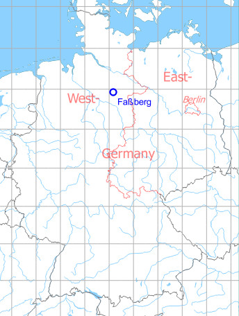
Germany during the Cold War
During World War II
Use
Luftwaffe air base (Fliegerhorst).
Situation
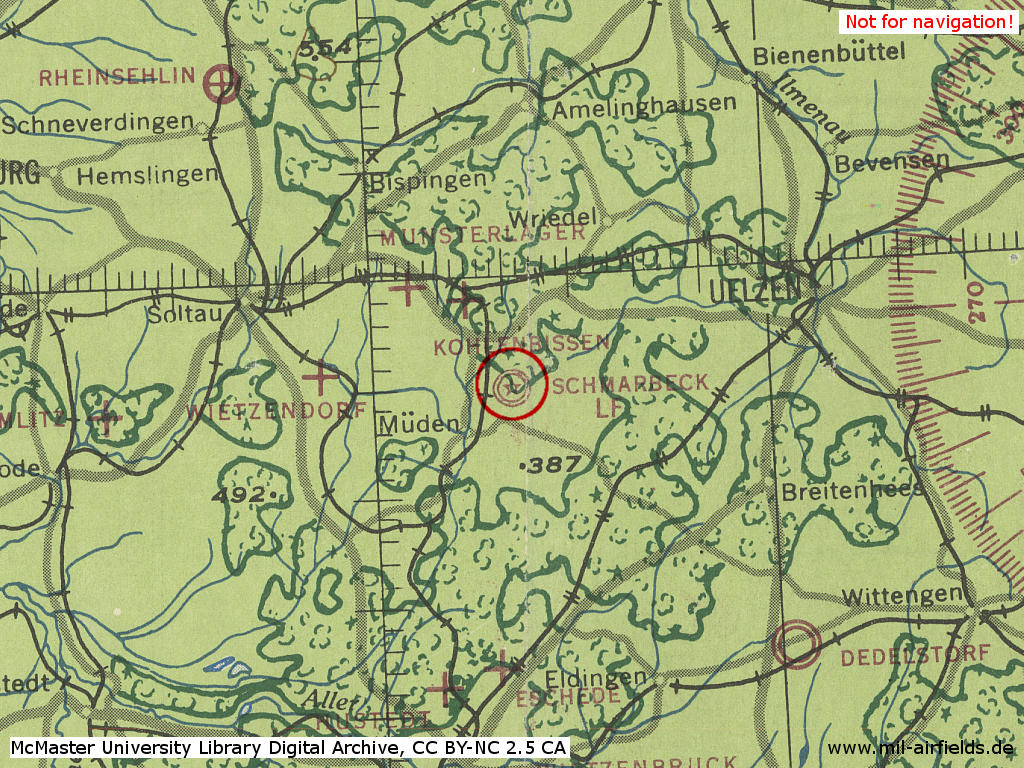
Faßberg Air Base in World War II as Schmarbeck on a US map from 1943 - (McMaster University Library Digital Archive, License: Creative Commons Attribution-NonCommercial 2.5 CC BY-NC 2.5 CA /MULDA/)
Overview
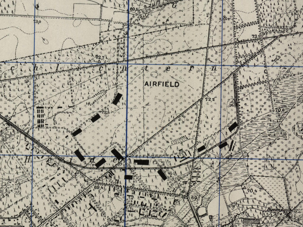
Faßberg Air Base on a US map from 1951 - (AMS M841 GSGS 4414, Courtesy Harold B. Lee Library, Brigham Young University /BYU/)
During the Cold War
Use
Royal Air Force (RAF) base, later German Air Force.
Remarkable at this airfield:
● Faßberg played an important role in the Berlin Airlift. Although the airfield was located in the British zone, it was mainly used by US aircraft.
● Der Flugplatz war nur 40 km von der innerdeutschen Grenze zur DDR entfernt und lag genau auf der Grenze der Air Defense Identification Zone (ADIZ). Spekulation: Bei der Planung von Krieghandlungen könnte der Platz aufgrund seiner Lage eine besondere Rolle für aus dem Osten zurückkehrende Kampfflugzeuge gespielt haben.
In 1948
Use
Royal Air Force base.
Radio beacons
- Fassberg NDB: 384 "FJ"
- Plainfare NDB: 314 "FG"
Radio communication
- GCA: call sign "ZIGZAG" 137.7 (Initial), 134.1 (Final)
- Tower 116.1, 117.9, 140.58
- Approach 116.1, 117.9, 140.58
In the 1960s
Overview
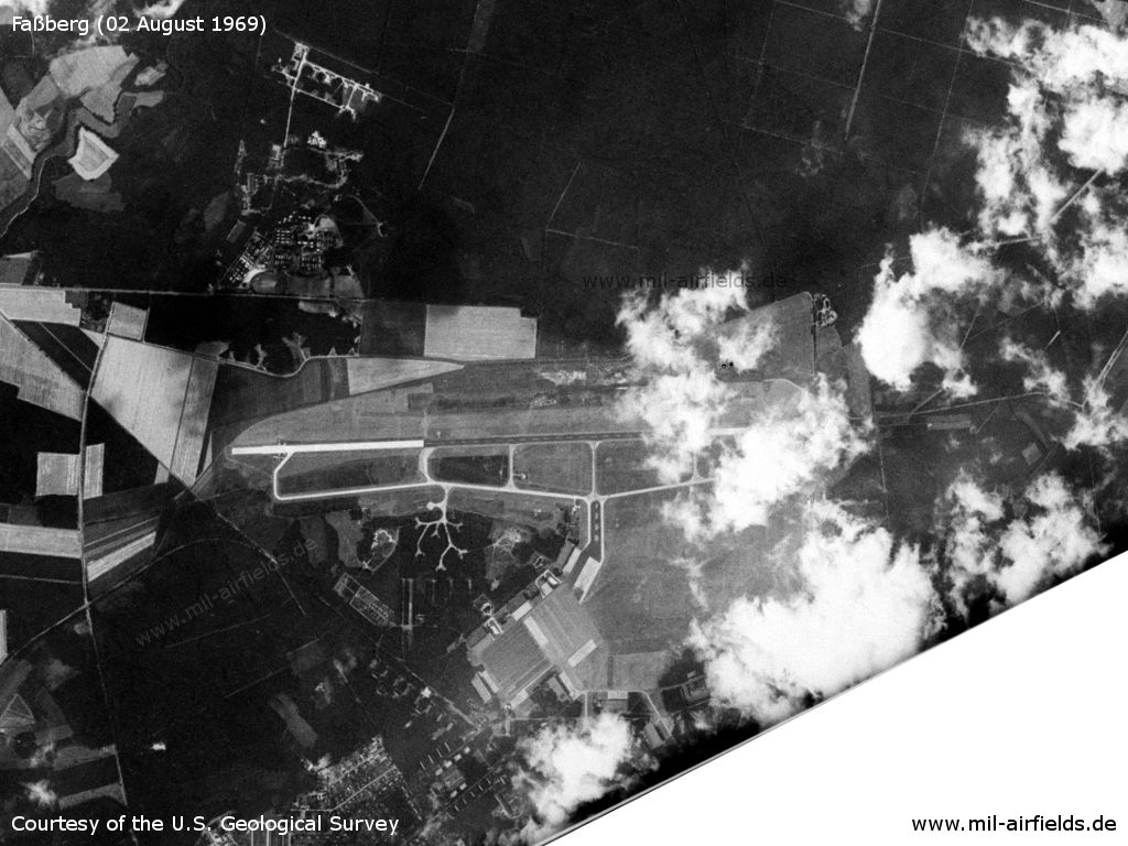
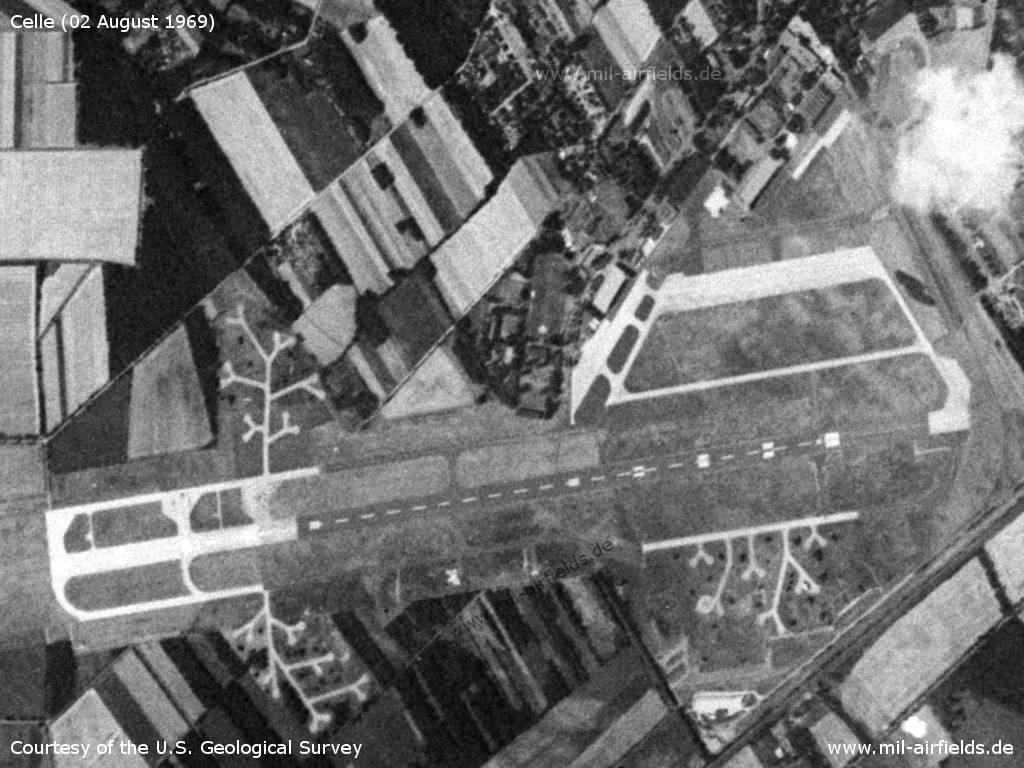
Fassberg Air Base on a US satellite image from 02.08.1969
Source: U.S. Geological Survey
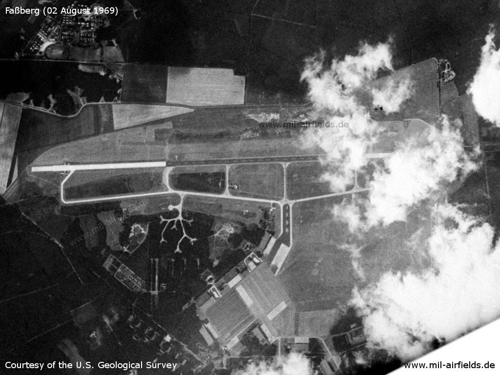
Enlargement: The airfield
Source: U.S. Geological Survey
In the 1970s
Situation
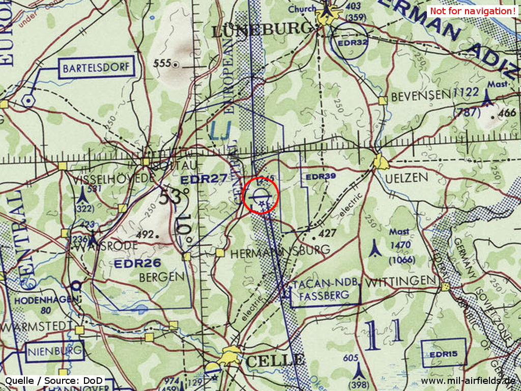
Faßberg Air Base on a map of the US Department of Defense from 1972 - (ONC E-2 (1972), Perry-Castañeda Library Map Collection, University of Texas at Austin /PCL MC/)
In the 1980s
Situation
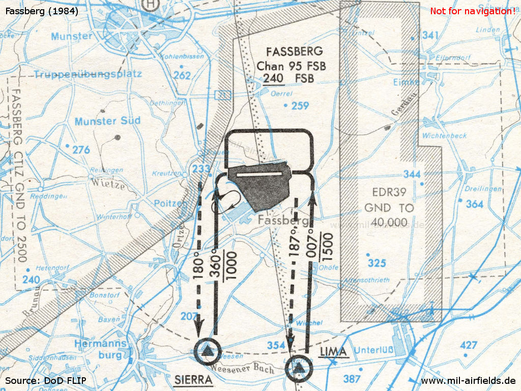
Location of Fassberg air base. - The map shows the visual approach and departure routes in 1984.
Overview
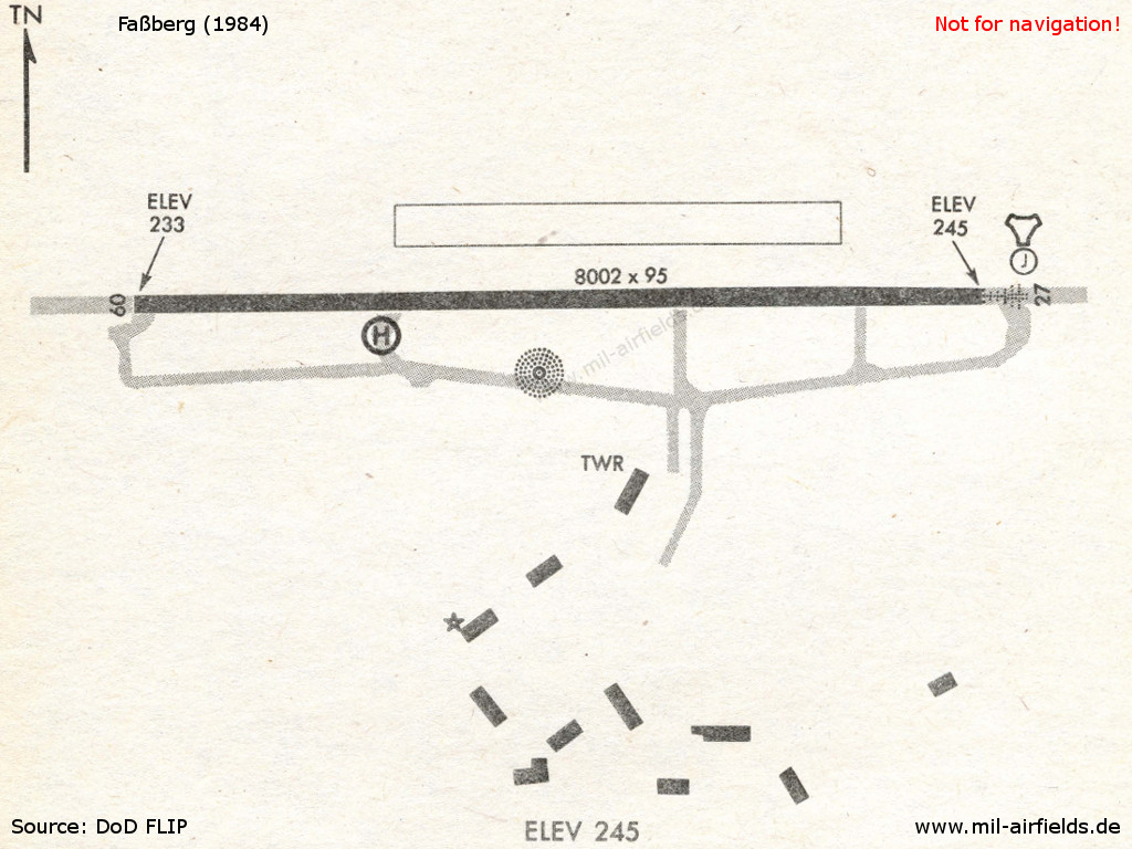
Runways
- 09/27: 2439 m x 29 m Concrete/Asphalt
Radio beacons
- NDB: 284 "FSB", at field
- TACAN: CH 95 "FSB"
Today
Use
German Army Aviation airfield.
Links
- https://www.relikte.com/fassberg/index.htm - Der Fliegerhorst Faßberg
Airfields in the vicinity
Categories
Military Airfields GermanyMilitary Airfields in former West GermanyGerman Air Force Air BasesGerman Army AirfieldsRoyal Air Force (RAF) Bases in GermanyRecommended
Image credits are shown on the respective target page, click on the preview to open it.
