For historical information only, do not use for navigation or aviation purposes!
| Coordinates | N484228 E0094124 (WGS84) Google Maps |
| Elevation | 1252 ft |
| Federal state | Baden-Württemberg |
| Location indicator | DBGP (195x), EDIB (196x-199x) |
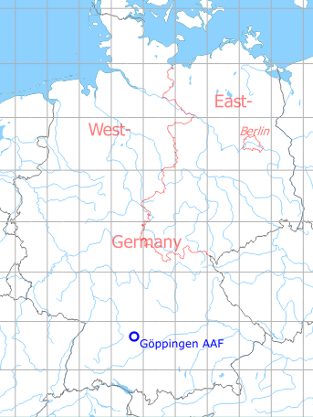
Germany during the Cold War Map
The history of the Cold War airfields: Göppingen
Contents
Page 1: Former Air Base and Army Airfield ← you are here
Page 2: Pictures part 2
During World War II
Use
Luftwaffe air base.
Situation
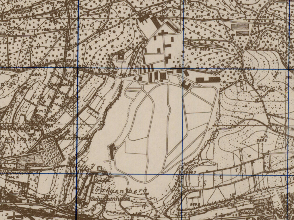
Göppingen Army Air Field AAF in World War II on a US map from 1944
Source: McMaster University Library Digital Archive, Lizenz: Creative Commons Attribution-NonCommercial 2.5 CC BY-NC 2.5 CA
During the Cold War
Use
US Army airfield and helicopter base.
In the 1950s
Overview
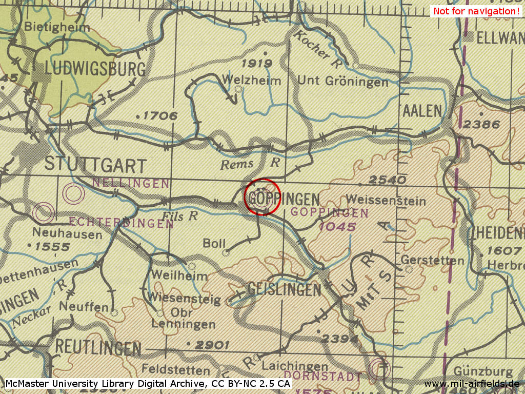
Göppingen airfield on a US map from 1951
Source: AMS M841 GSGS 4414, Courtesy Harold B. Lee Library, Brigham Young University
Additional information
Airfield Survey in 1953
In 1953, survey tours took place in Southern Germany to identify future air bases for the German Air Force. Old airfields were visited and assessed, if a field can be used, if technical facilities and housing are available und if an extension of the runway up to 2500 m or 3000 m is possible.
Göppingen was also inspected, but only from outside, as there was no permission from the US Army to enter. Result: Movement area 700 m x 1000 m (2296 ft x 3280 ft) with solid sod. Not extensible because adjacent terrain drops to all sides. Runway (700 m x 22 m, 2296 ft x 72 ft) and taxiways in good conditions. Installations and quarters in the north seems to be ok.
In the 1970s
Situation
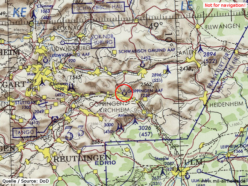
Göppingen Army Air Field (AAF) on a map of the US Department of Defense from 1972
Source: ONC E-2 (1972), Perry-Castañeda Library Map Collection, University of Texas at Austin
Runways
Data for the year 1971:
- 07/25: 853 m x 20 m Asphalt
In the 1980s and early 1990s
Overview
Runways
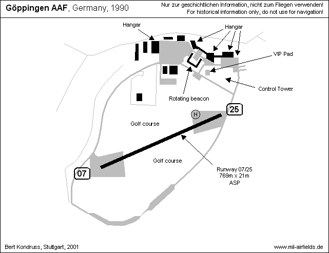
Data for the year 1990:
- 07/25: 769 m x 21 m Asphalt
Telephone
DSN 425-3xxx, commercial 07161/618-xxx (1990)
Units
Data for the year 1990:
193rd Avn Co (7th USAR): 8 UH-1H; 3rd Bde/1st IDM: 2 UH-1H, 4 OH-58A
Today
Use
Cooke Barracks closed at 28FEB1992 (Source: USAREUR). Today, the airfield is used as industrial area and golf course.
Images
Pictures from 2001
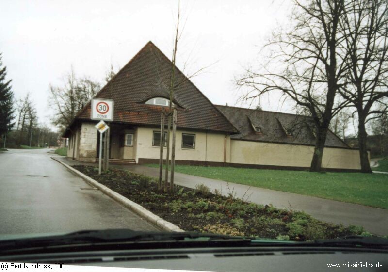
Gate
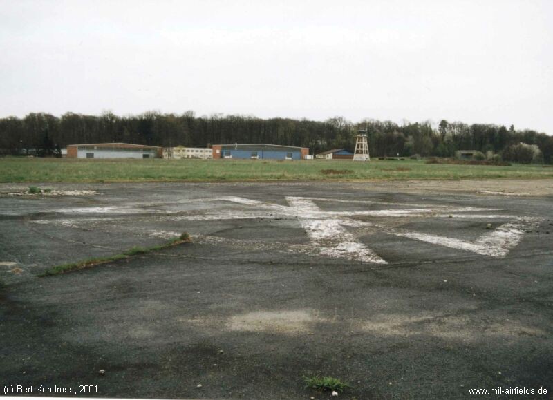
Airfield seen from the eastern starting platform
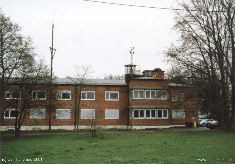
Main building
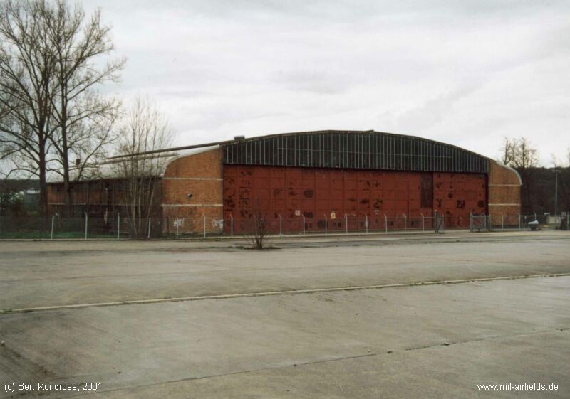
Old hangar
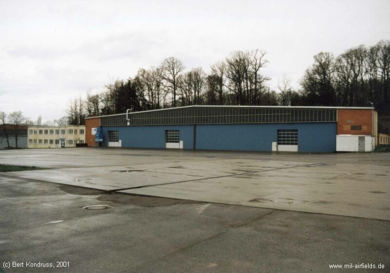
Hangar
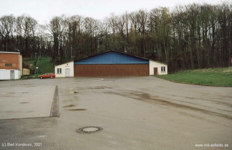
Small Hangar
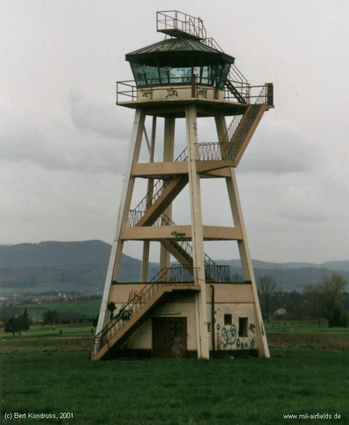
Tower
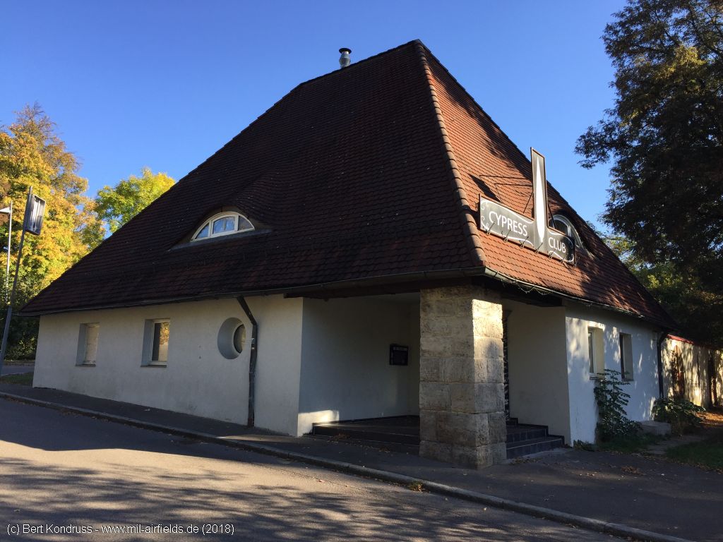
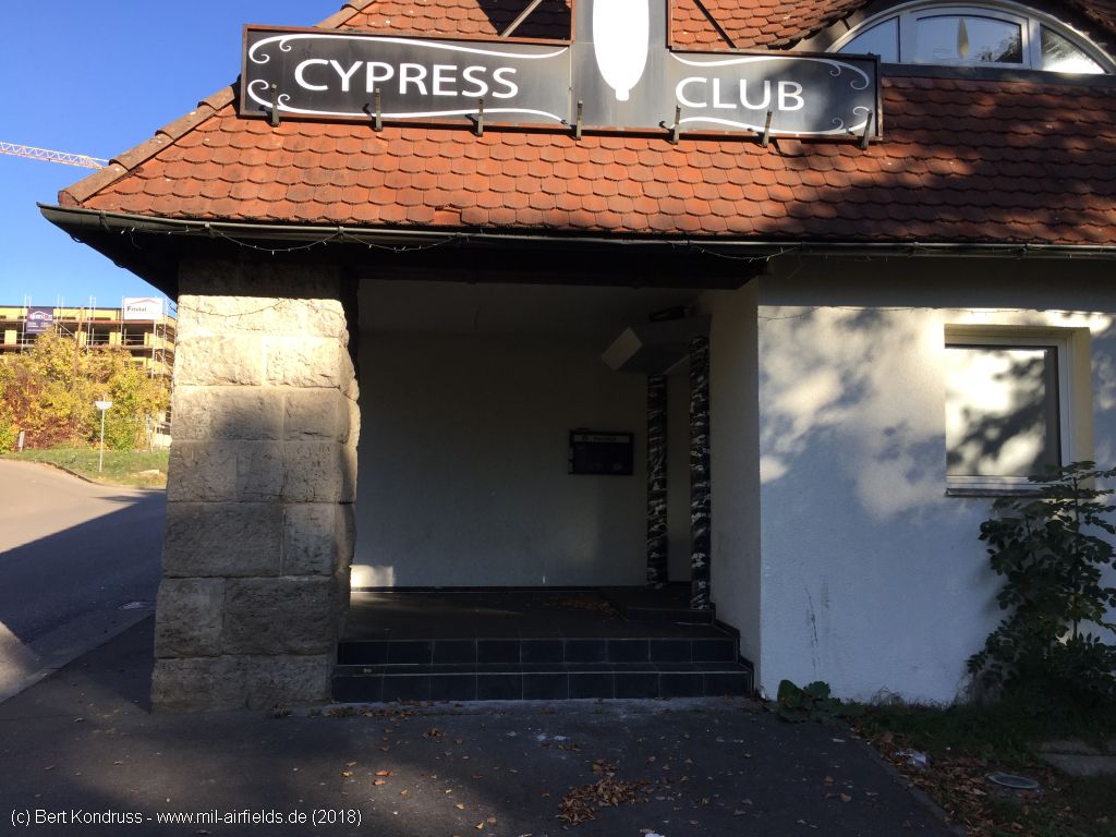
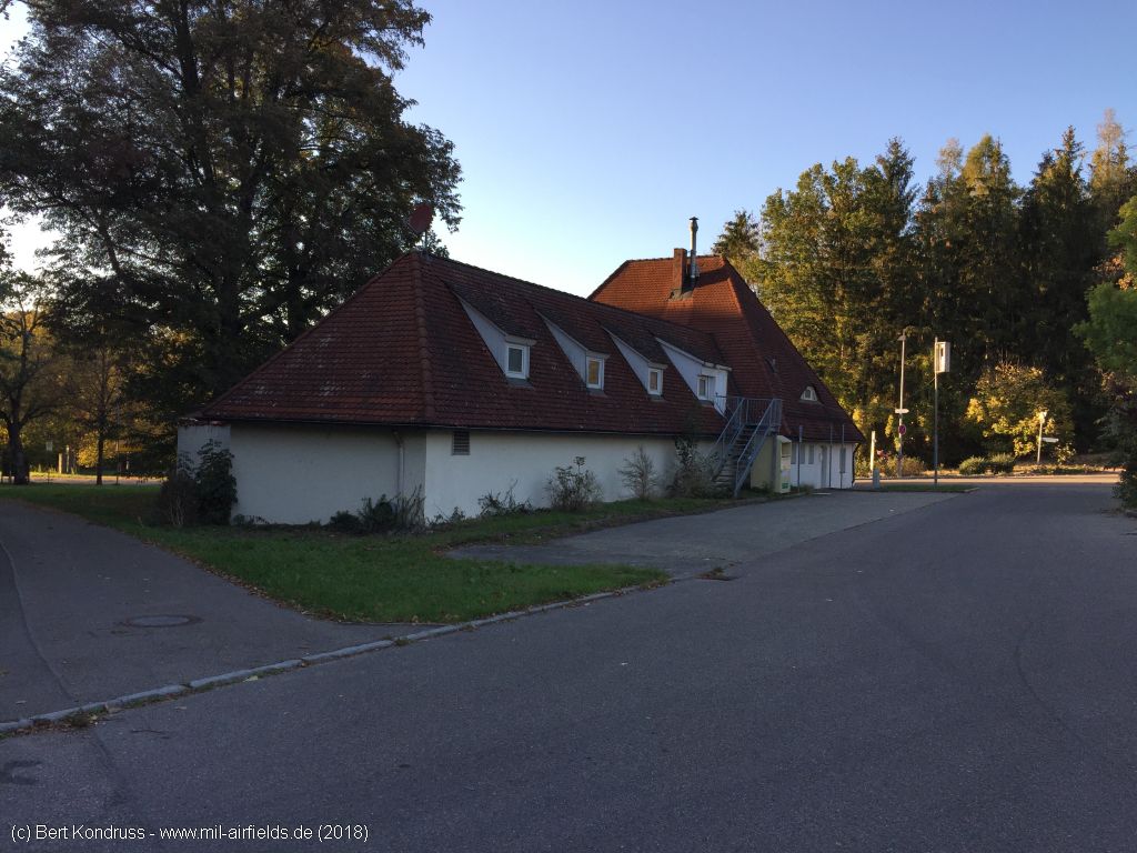
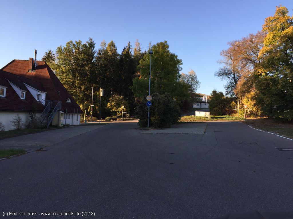
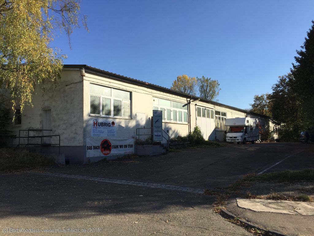
Pictures from fall 2018
Former gate from the west
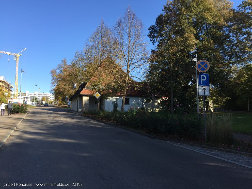
Former guard house
The formerly existing porch has been removed
Eastern side
Forecourt on the eastern side
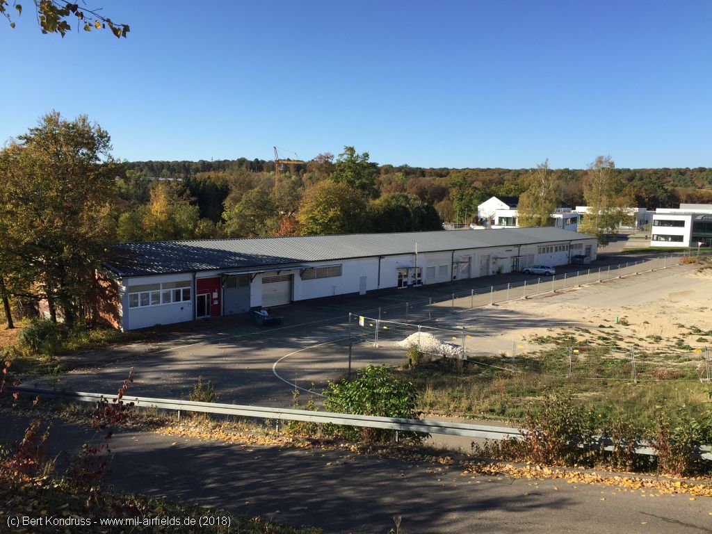
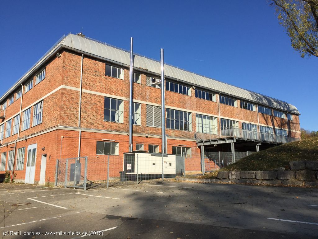
Warehouse building, view in northwest direction
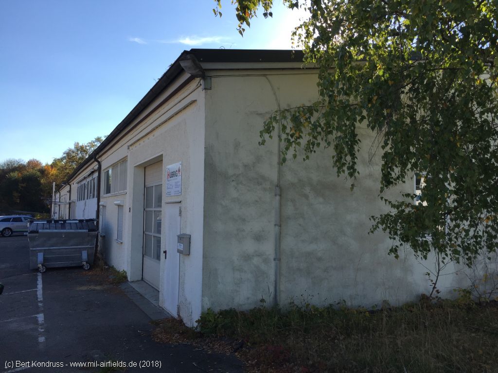
Northern side
Eastern side
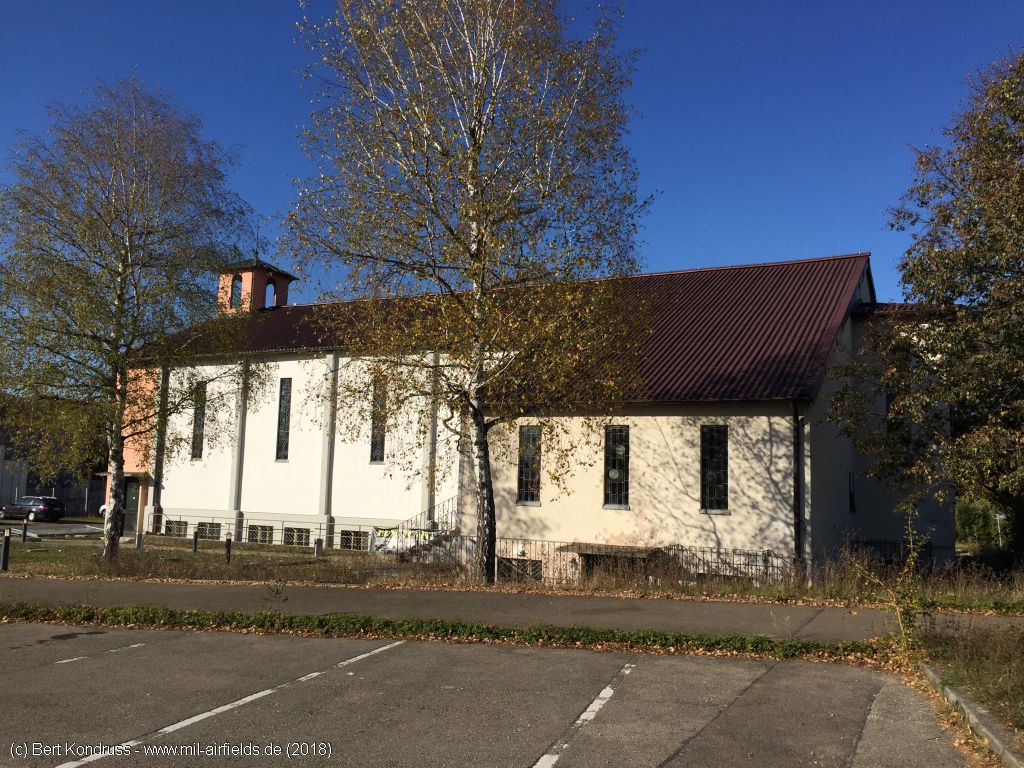
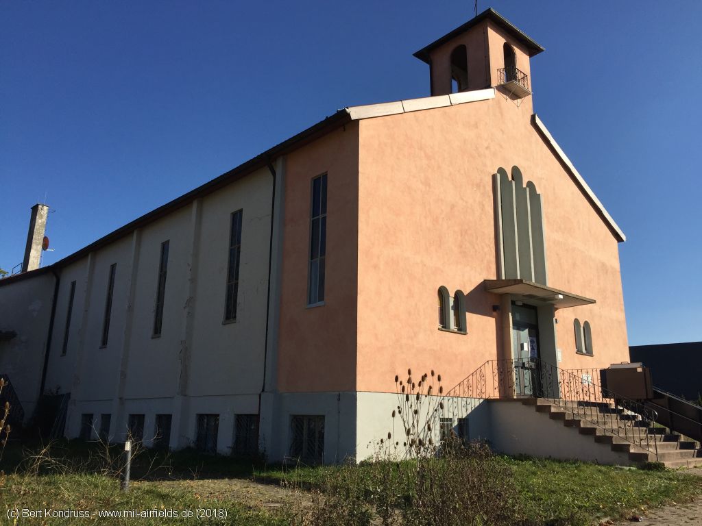
Former Cook Barracks chapel from the south
Chapel
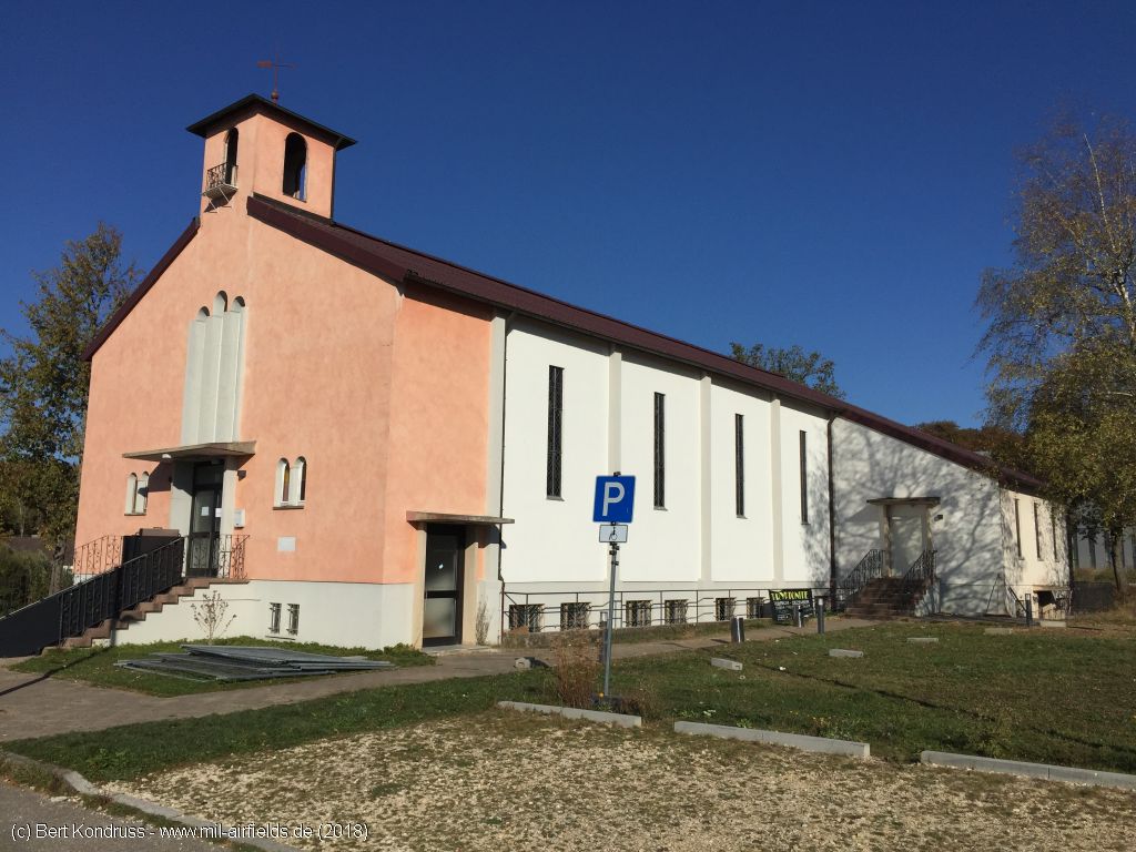
Western side
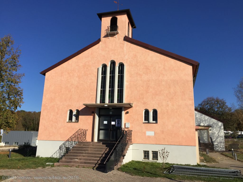
Northern side
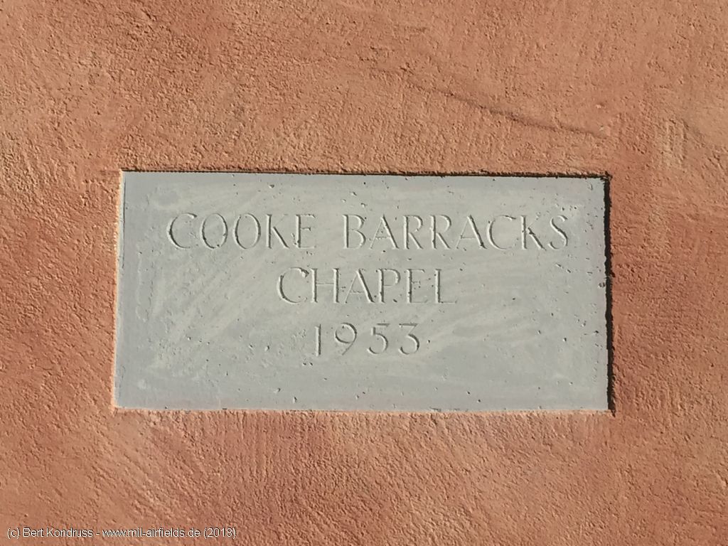
Inscription: Cook Barracks Chapel 1953
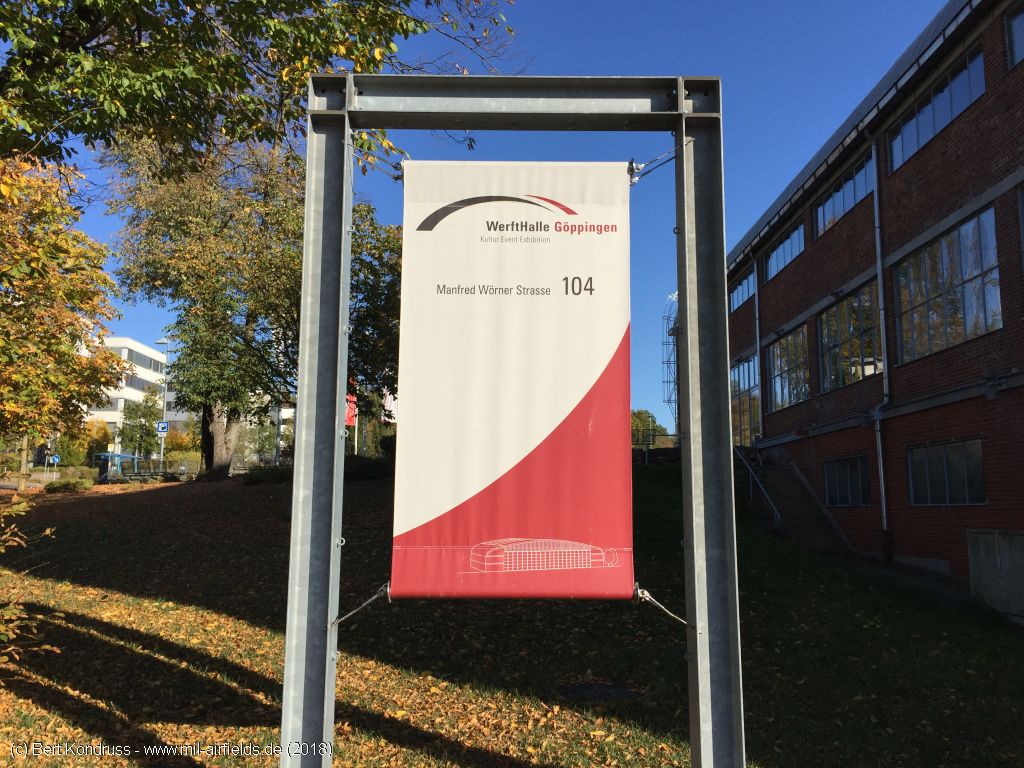
Information board WerftHalle Göppingen - as an event location
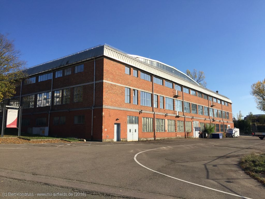
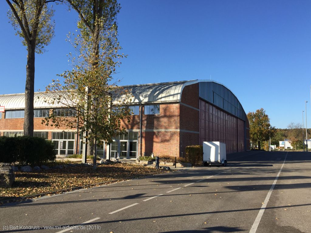
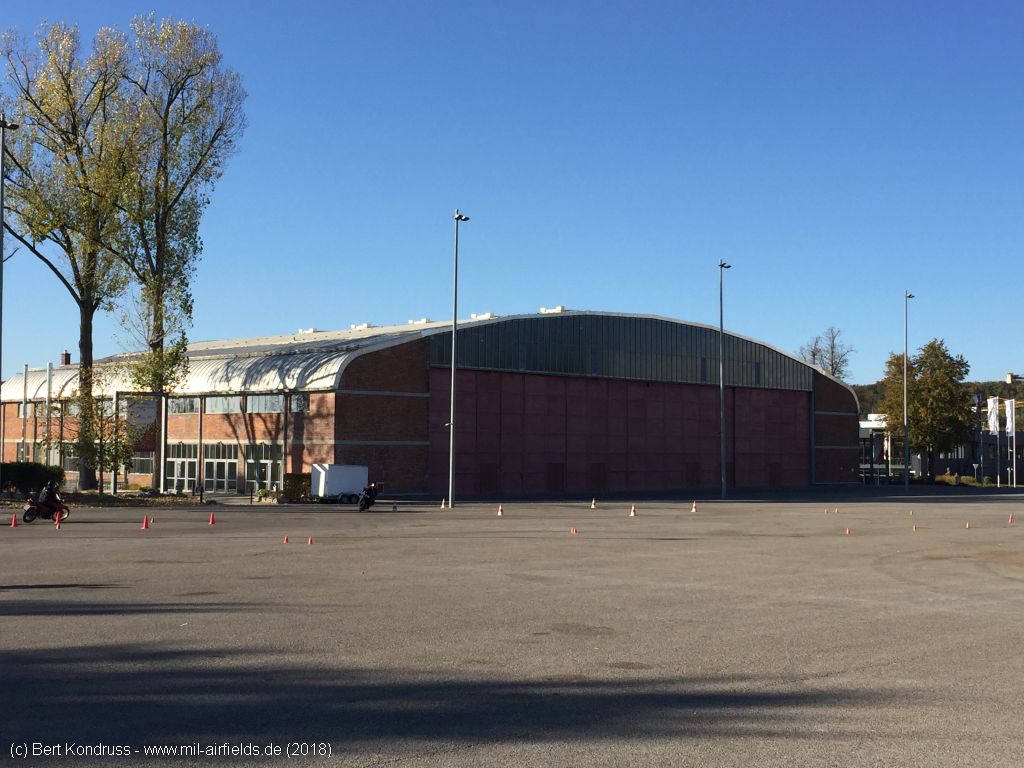
The Werfthalle hangar from the west
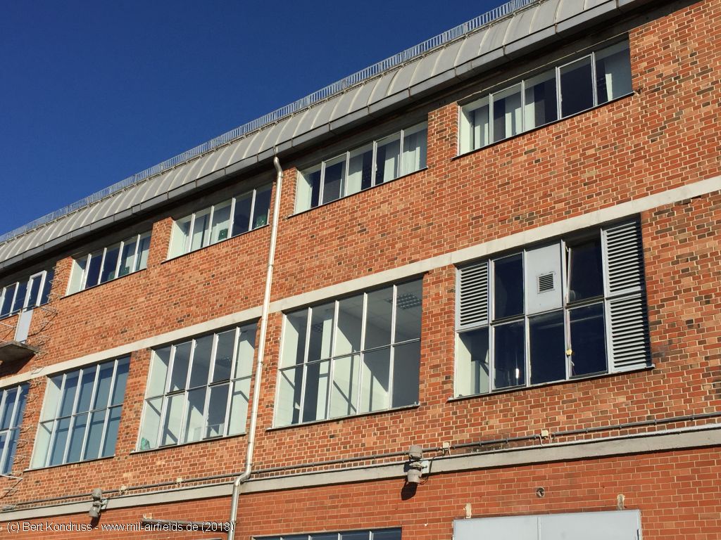
Windows
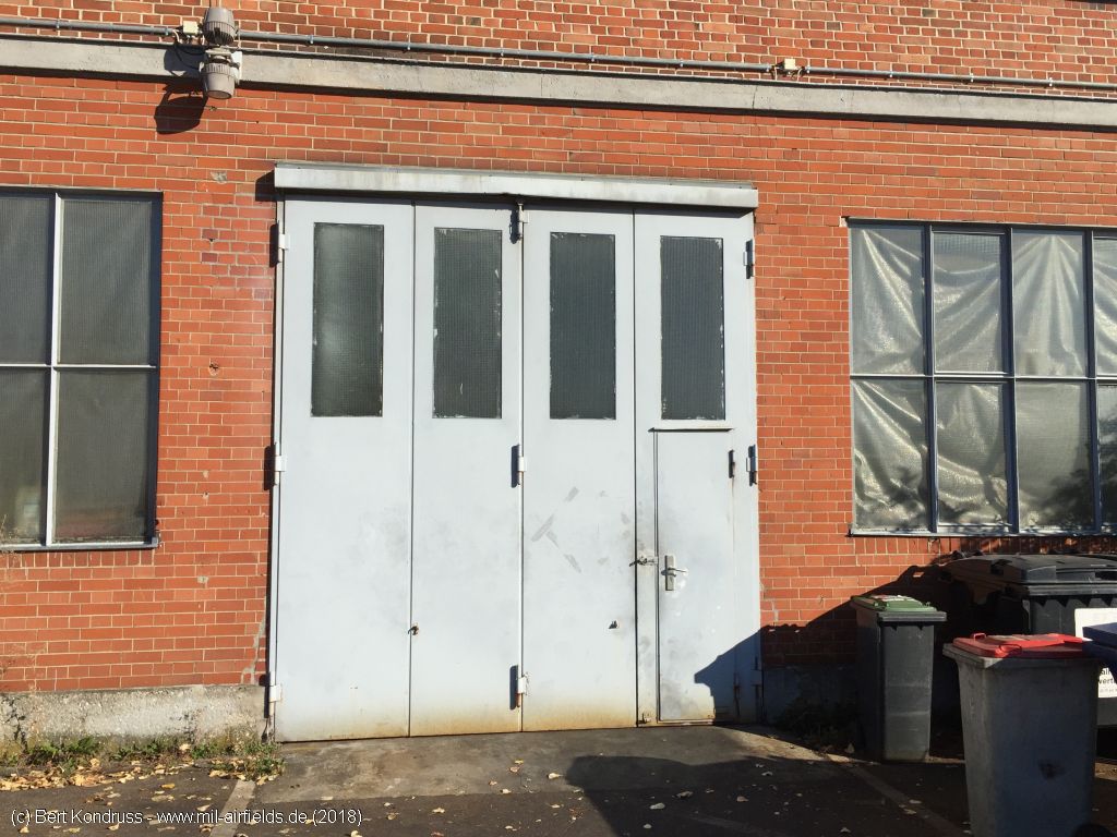
Door
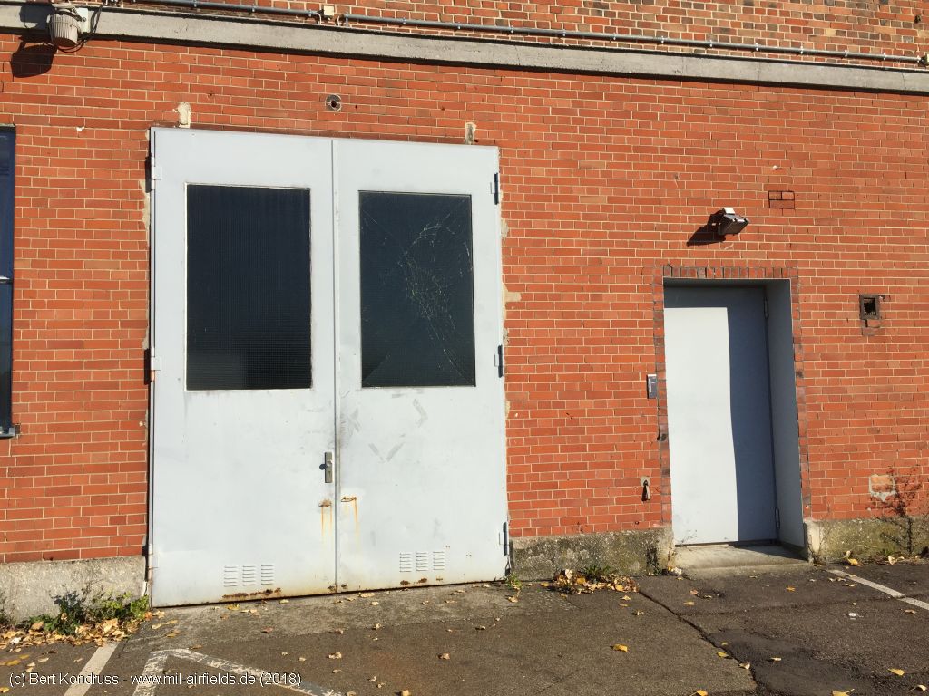
Door
Southern side
Viewing direction approximately northwest
Hangar with front yard