For historical information only, do not use for navigation or aviation purposes!
| Coordinates | N484228 E0094124 (WGS84) Google Maps |
| Elevation | 1252 ft |
| Federal state | Baden-Württemberg |
| Location indicator | DBGP (195x), EDIB (196x-199x) |
Germany during the Cold War Map
The history of the Cold War airfields: Göppingen
Contents
Page 2: Pictures part 2 ← you are here
Images
Images from Fall 2018 (cont)
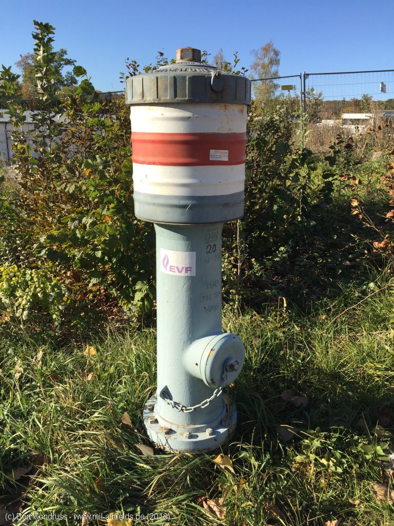
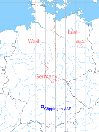
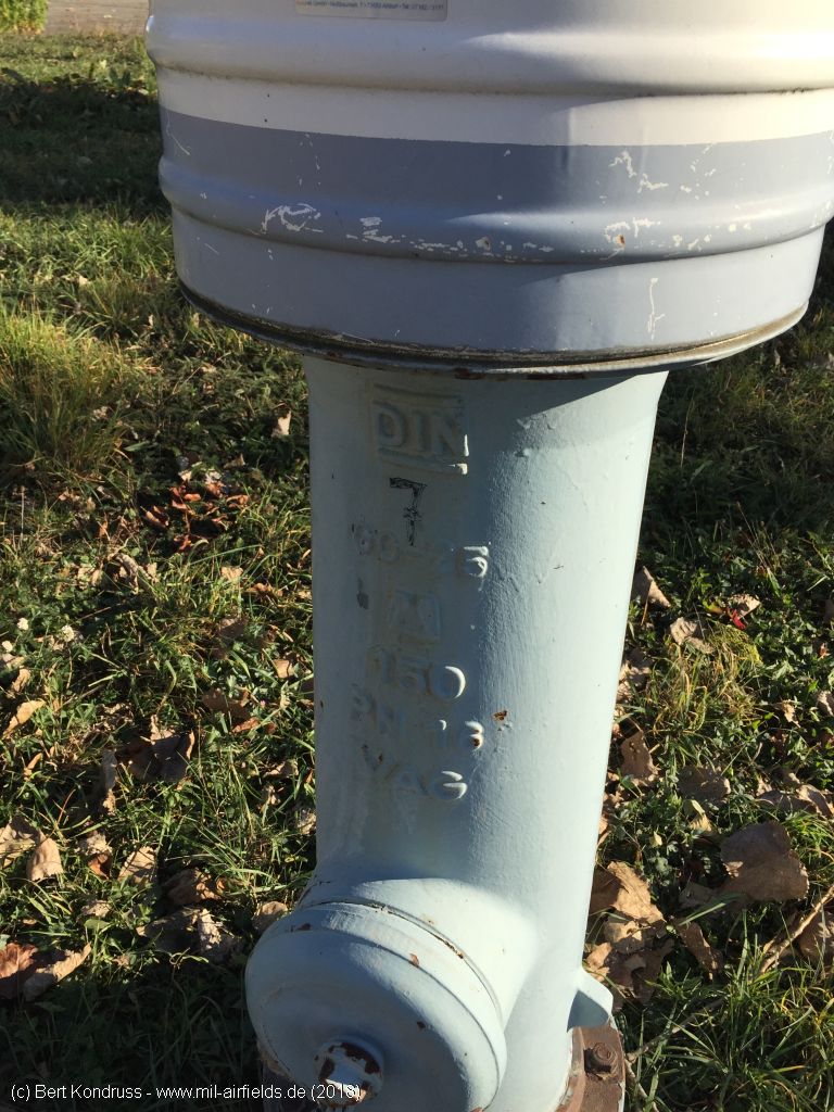
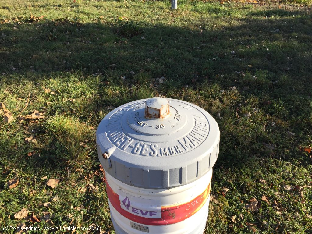
Hydrand
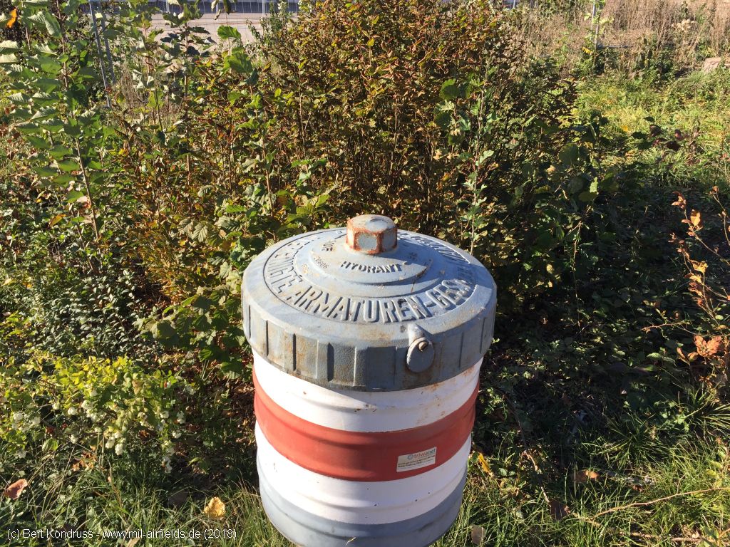
Hydrant
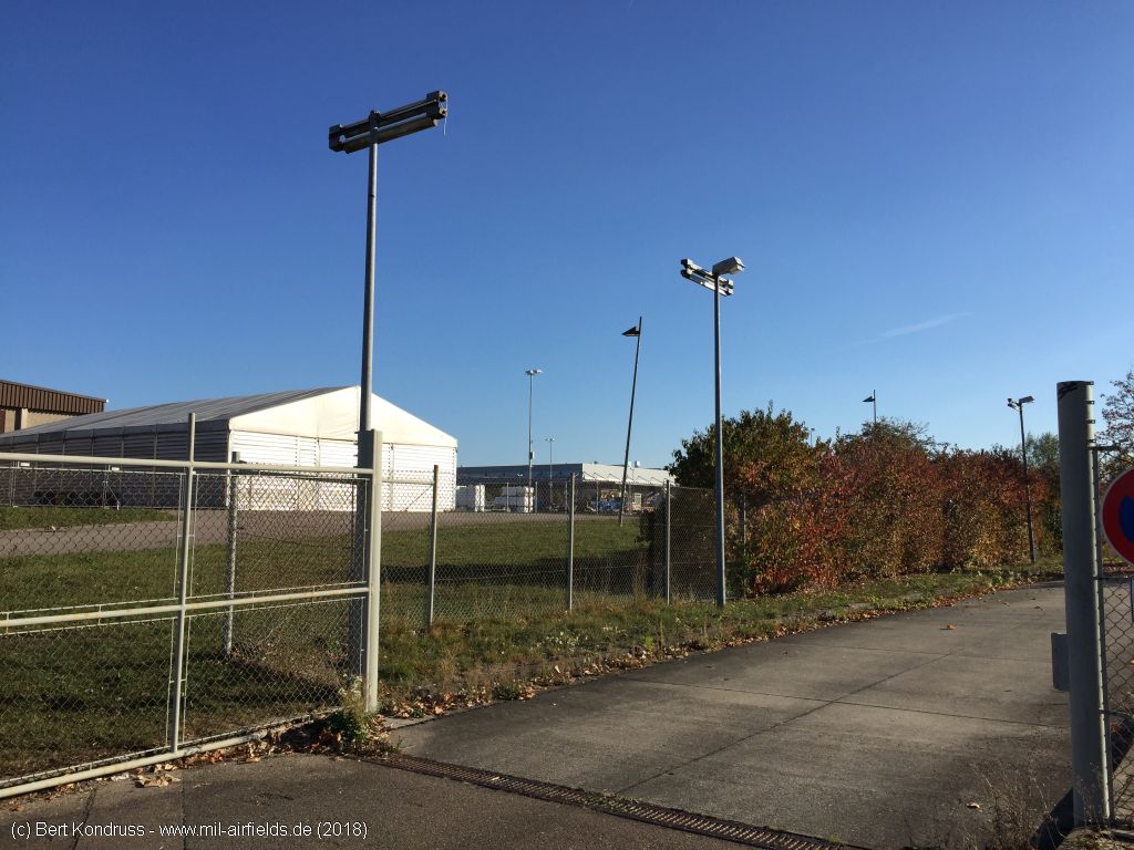
Old lighting, partly combined with new lamps
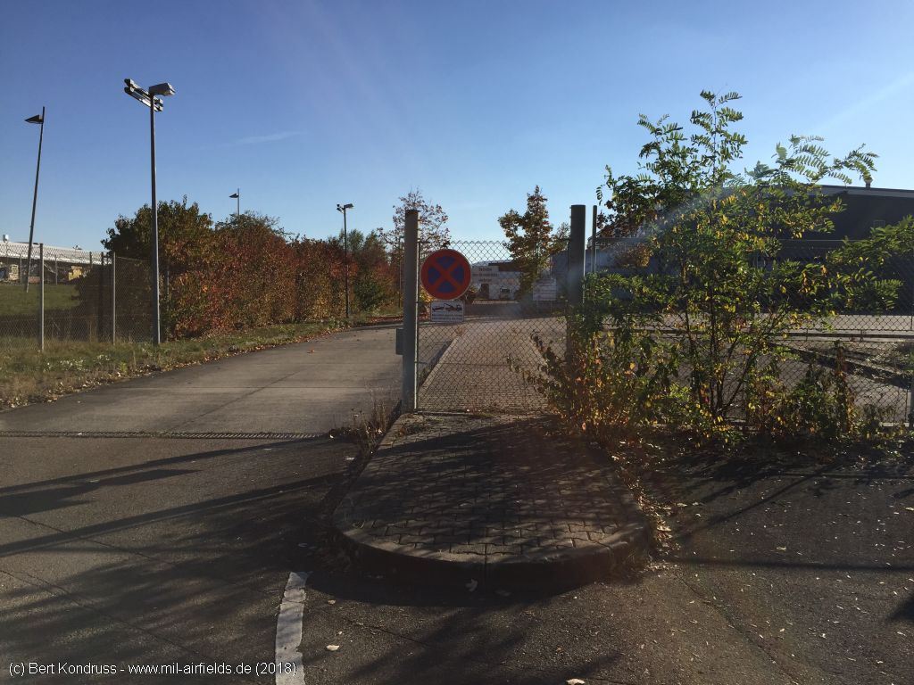
Former gate inside the area
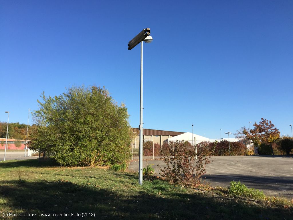
Old and new lighting
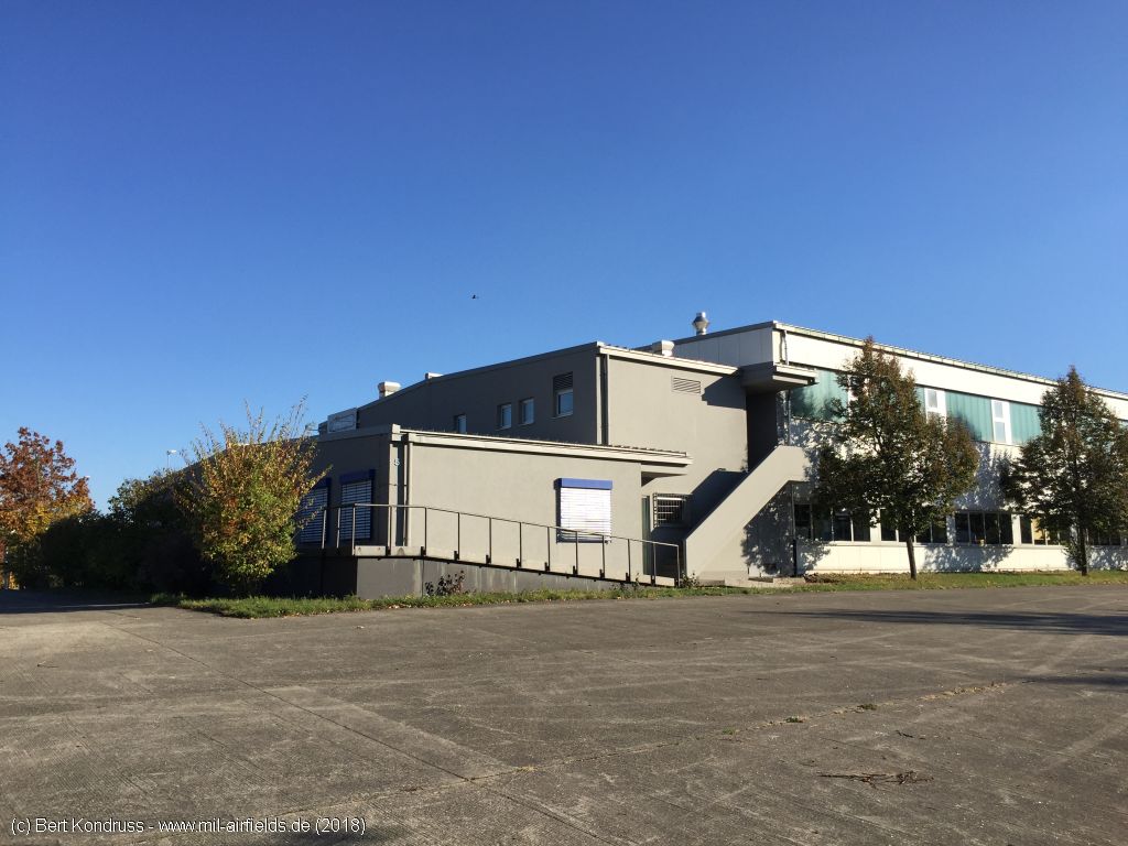
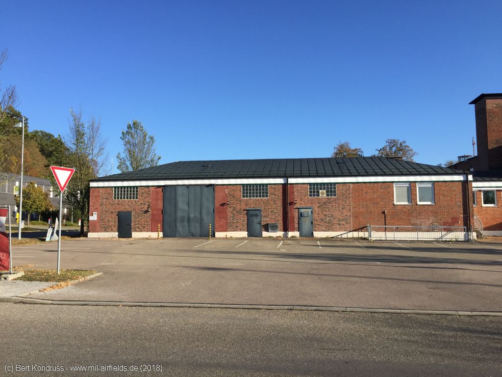
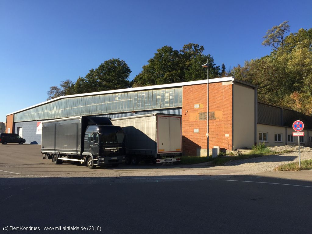
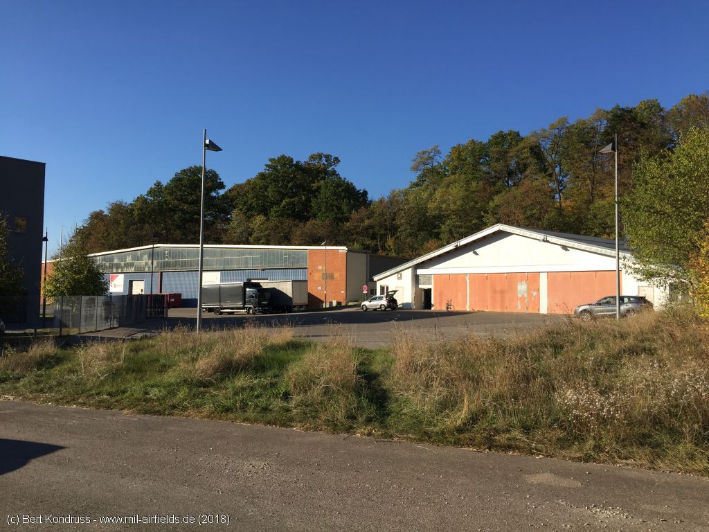
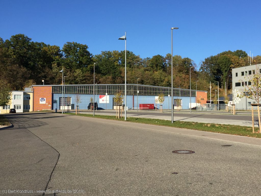
Warehouse
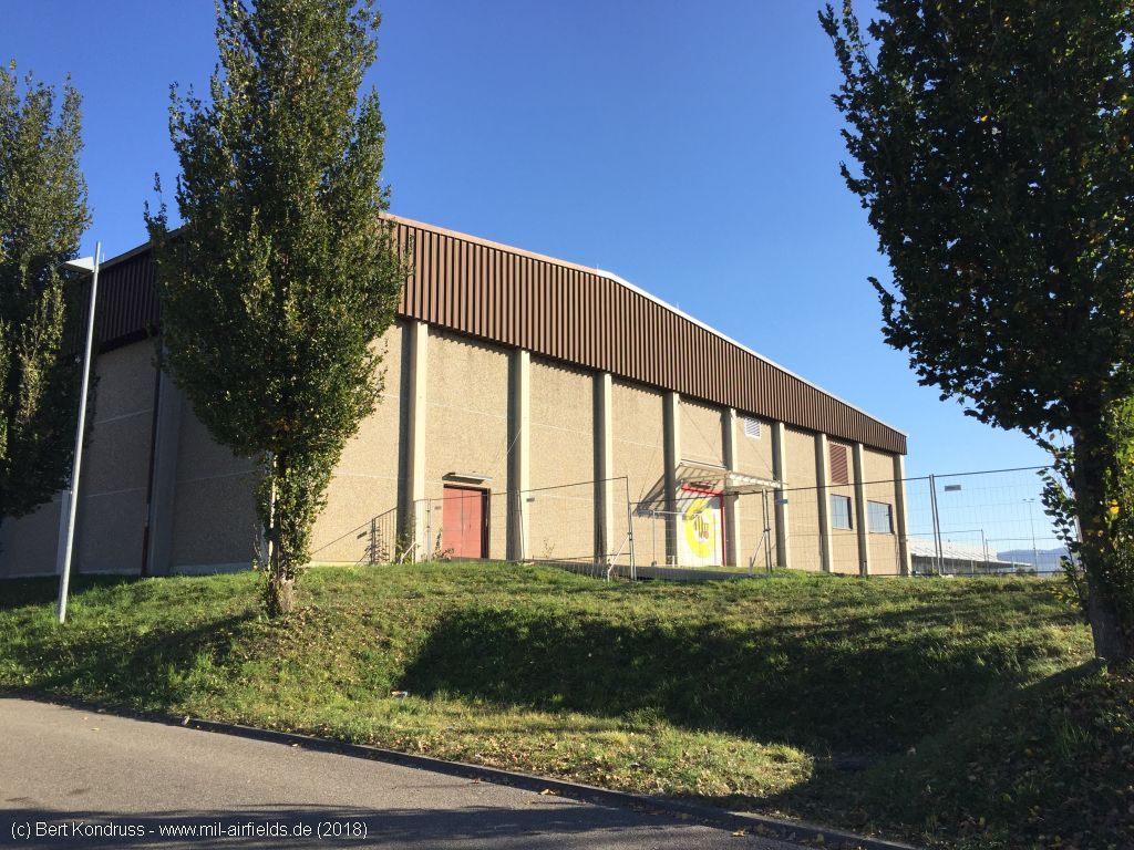
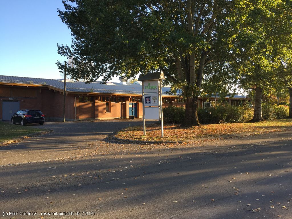
Former sports hall, now recording studio "Tigerentenclub"
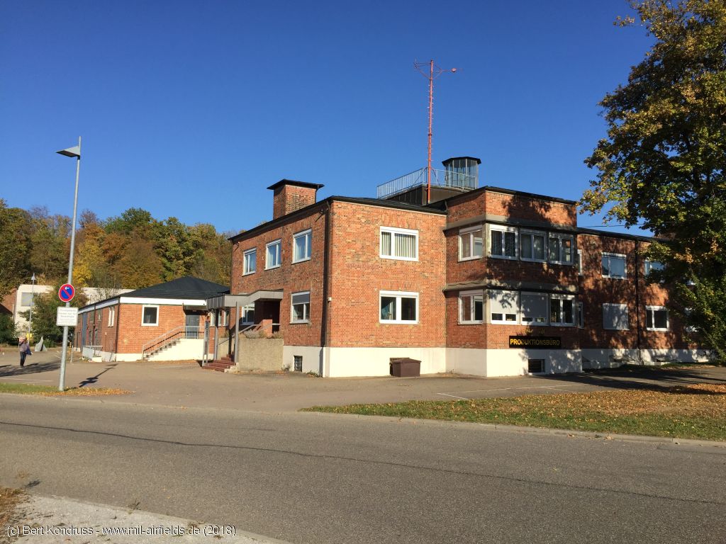
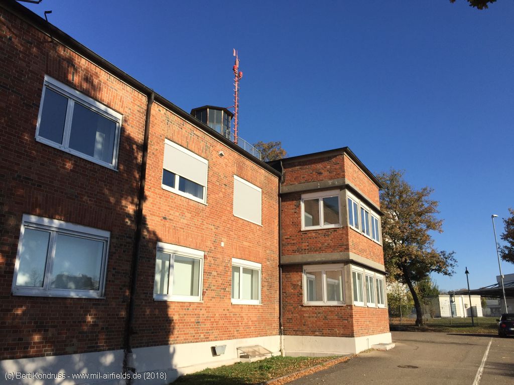
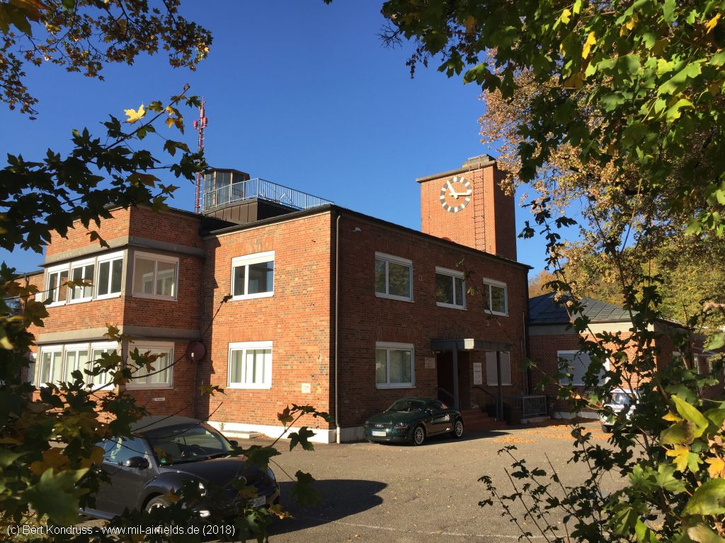
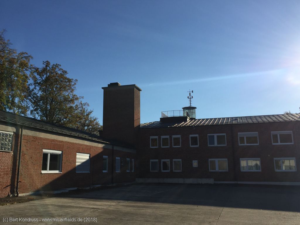
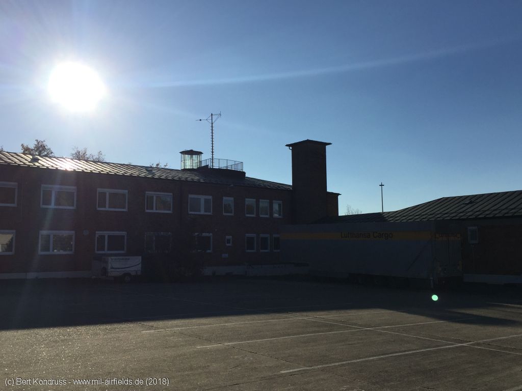
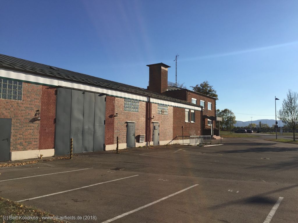
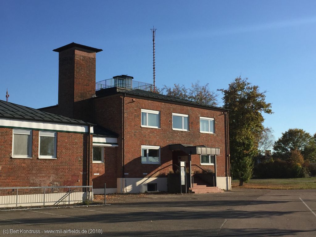
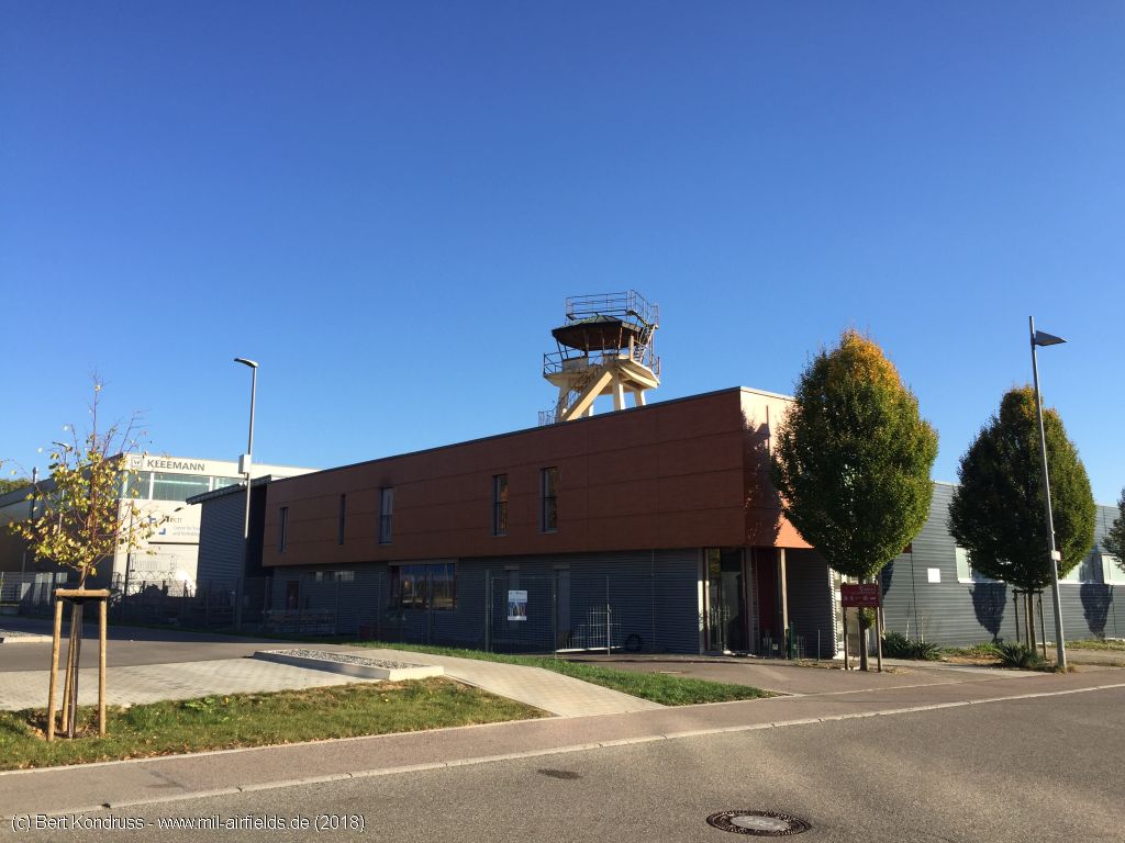
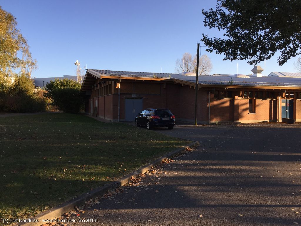
Former air base building
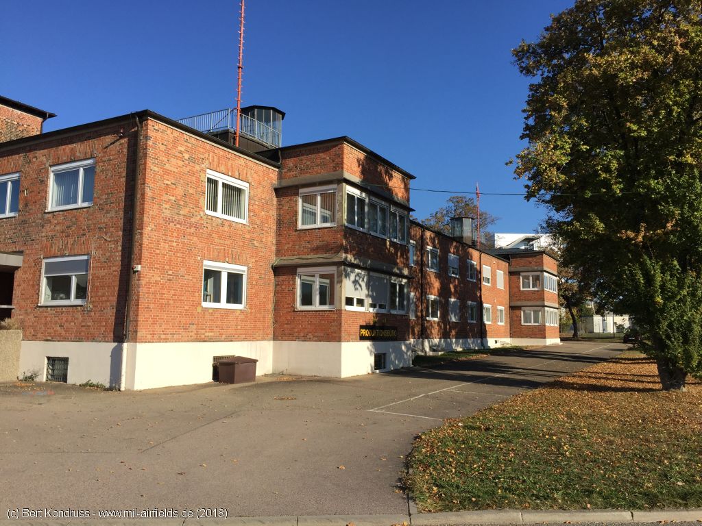
Turret on the building
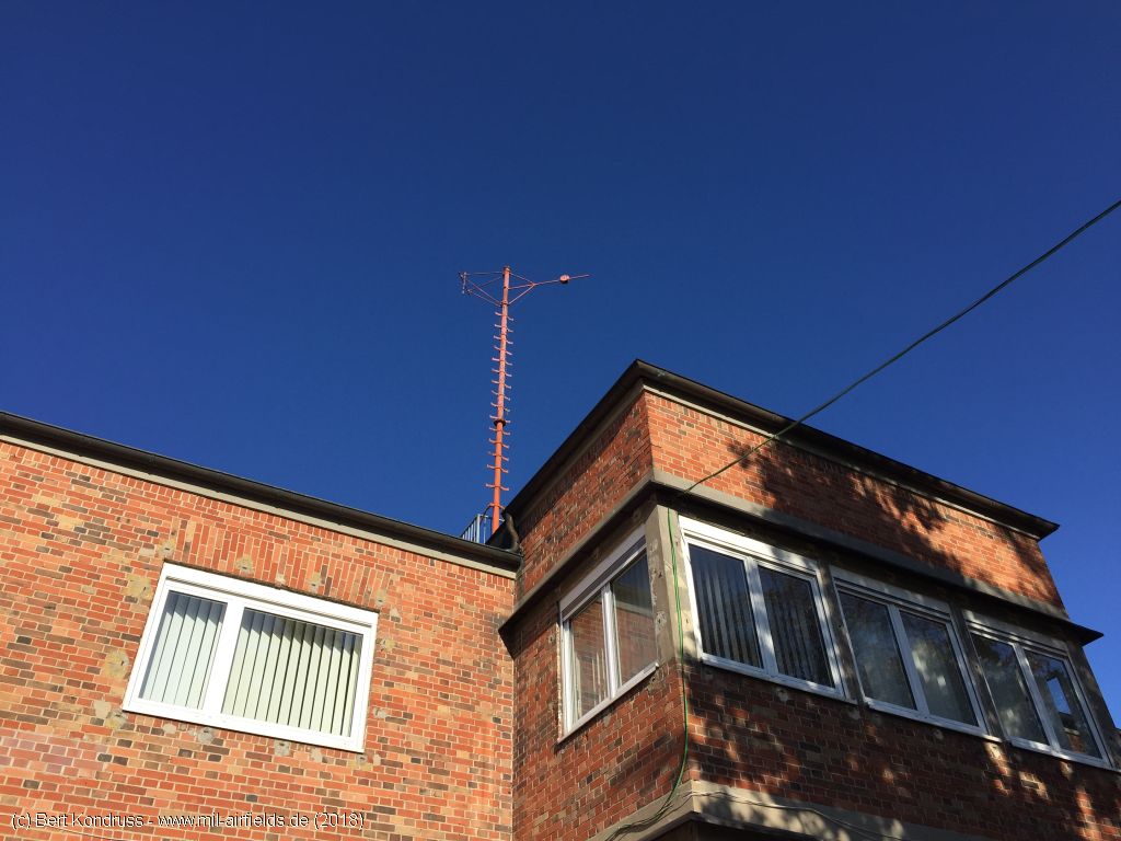
Mast
Southeastern part
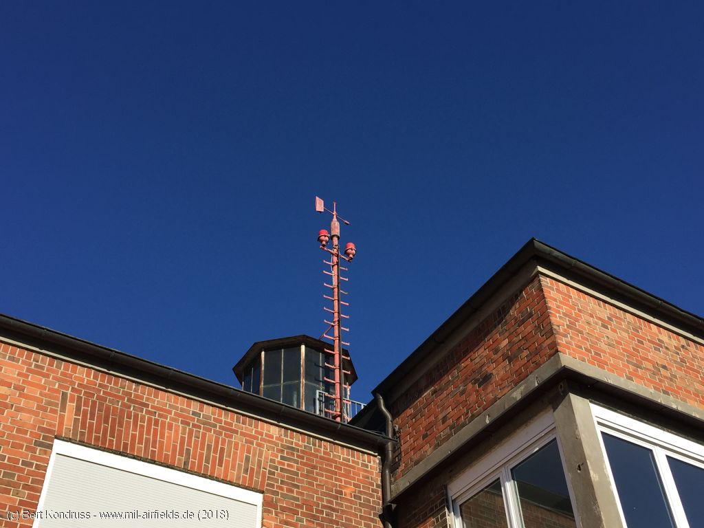
Mast with obstacle lights
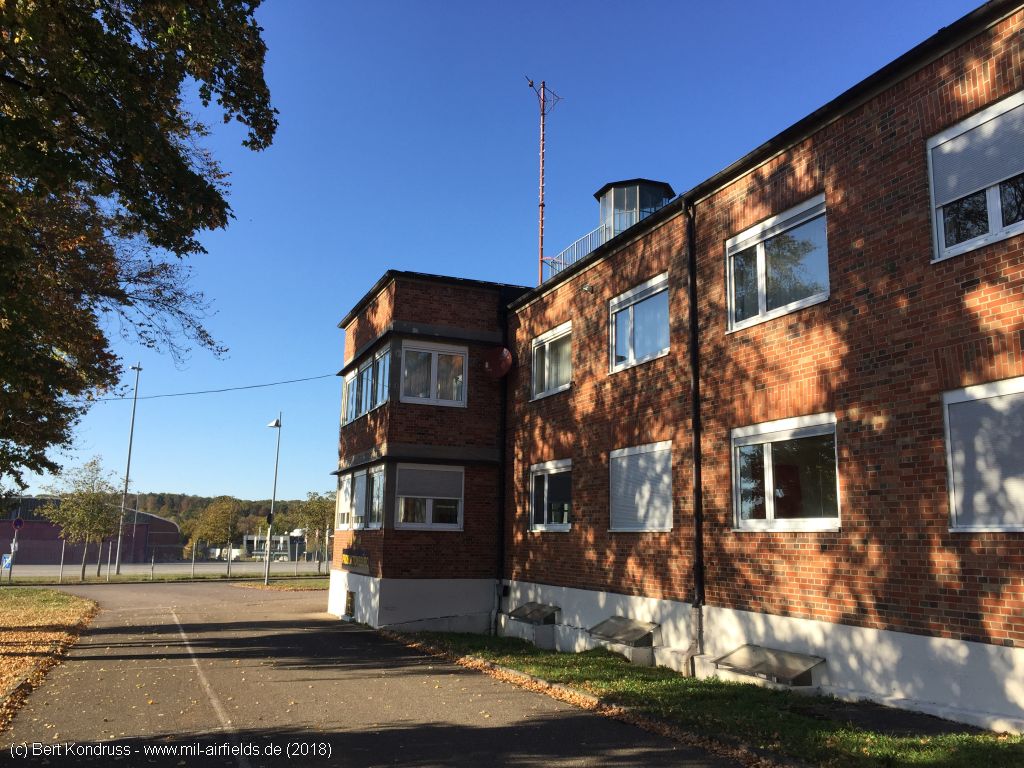
Viewing direction northwest
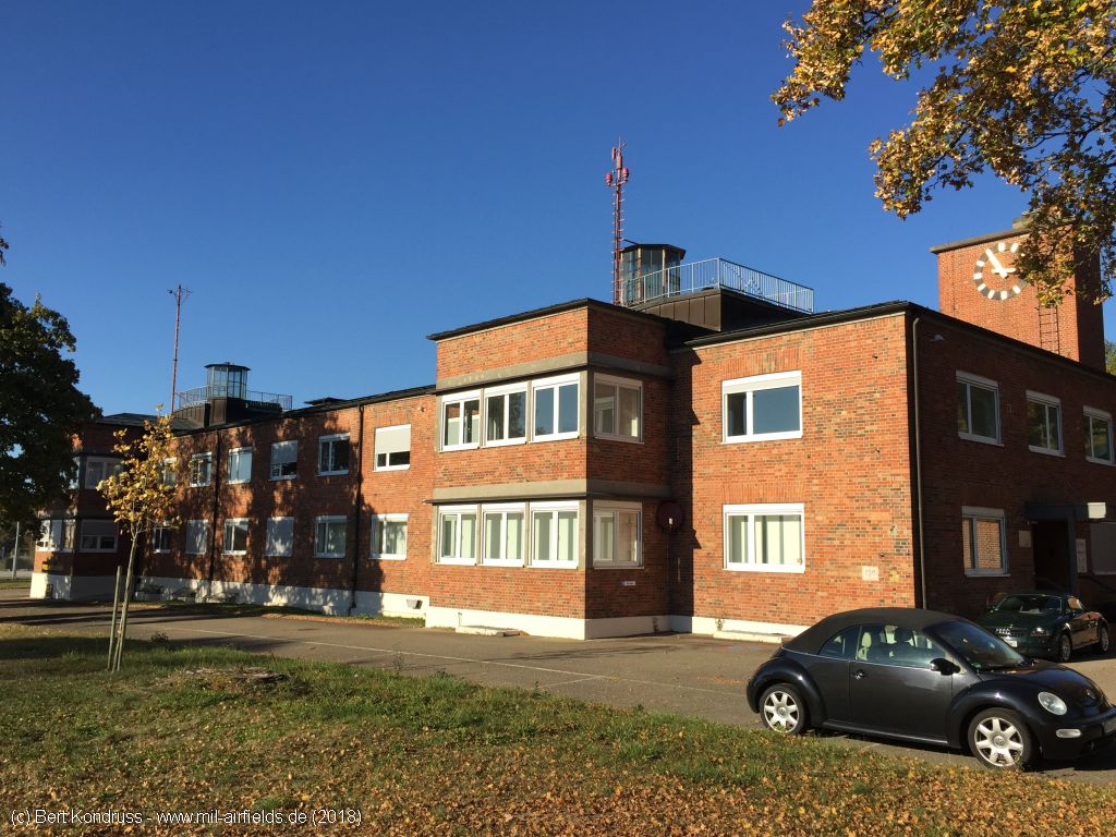
View of the eastern part
Eastern part with turret and clock
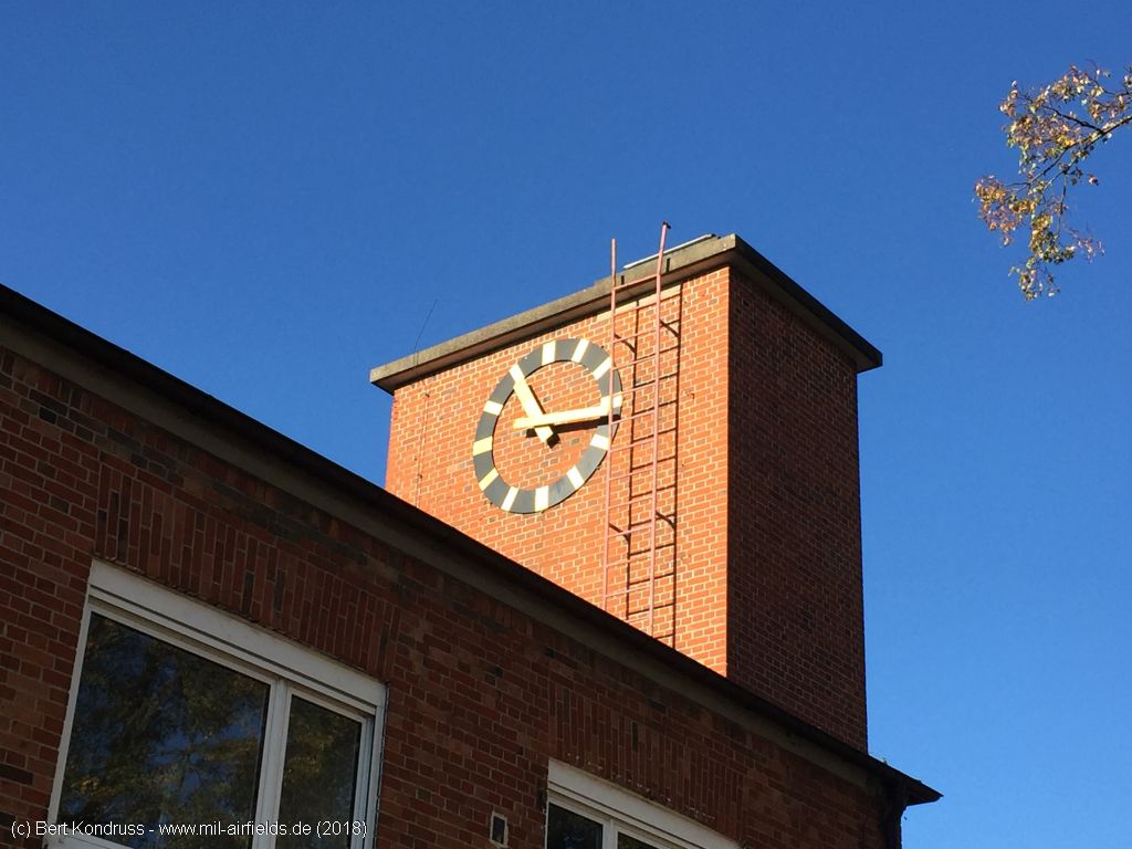
Air base clock
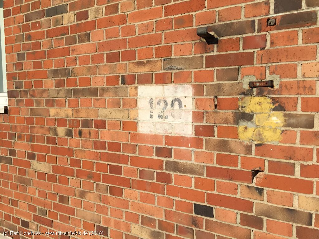
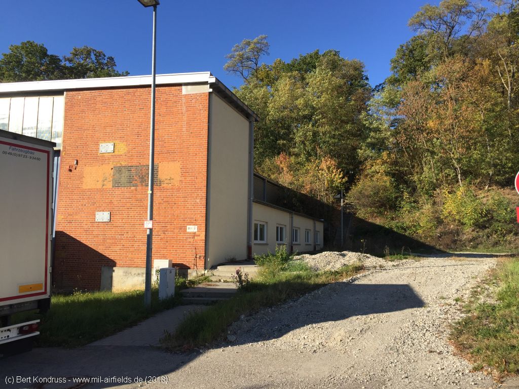
Building number

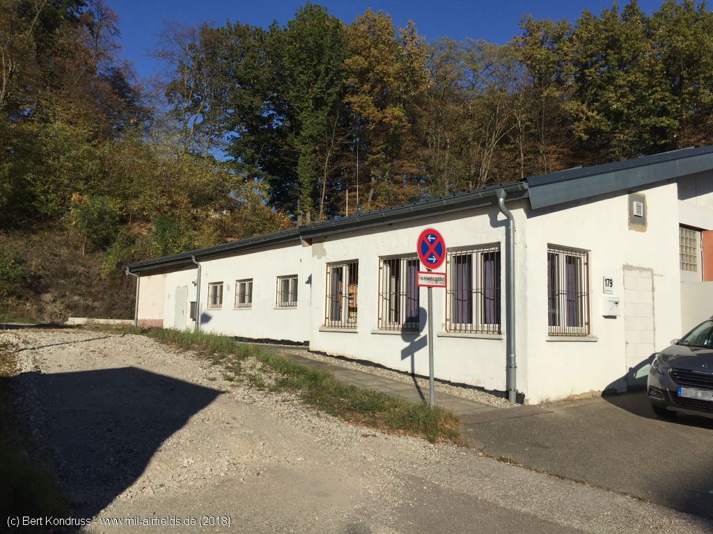
Eastern side
Backside, view to the south
Backside, view to the southwest
Northwestern part
Northwestern part
View south to the western end of the building
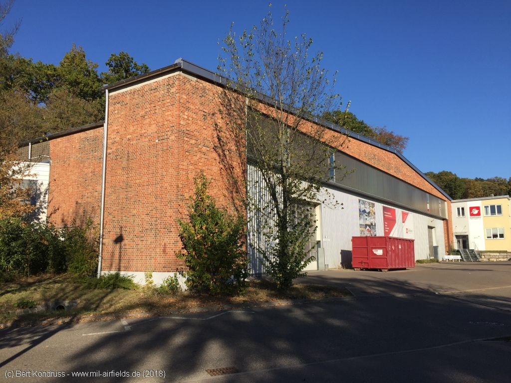
Northwestern hangar
Northwestern hangar
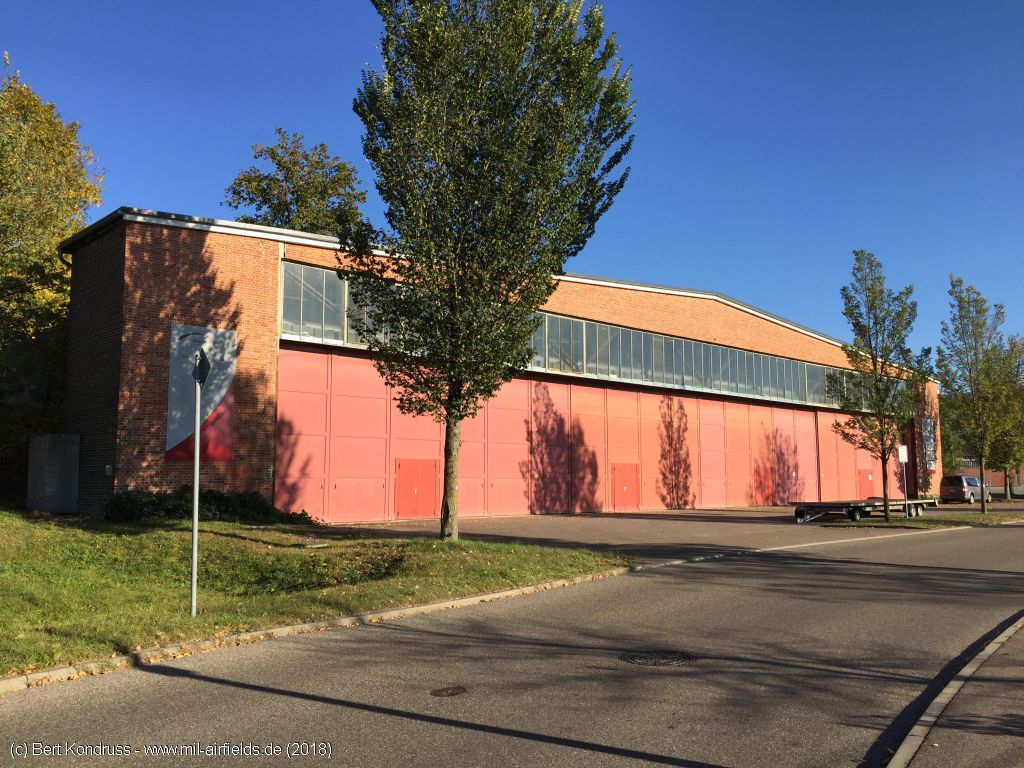
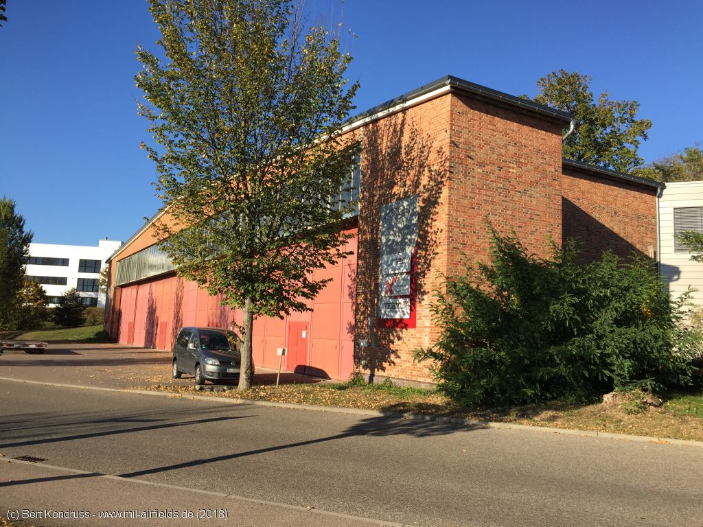
Aircraft hangar
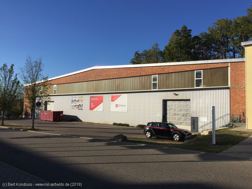
Aircraft hangar
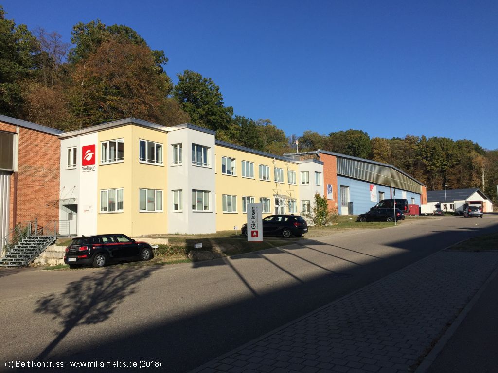
Yellow building between two hangars
Hangar
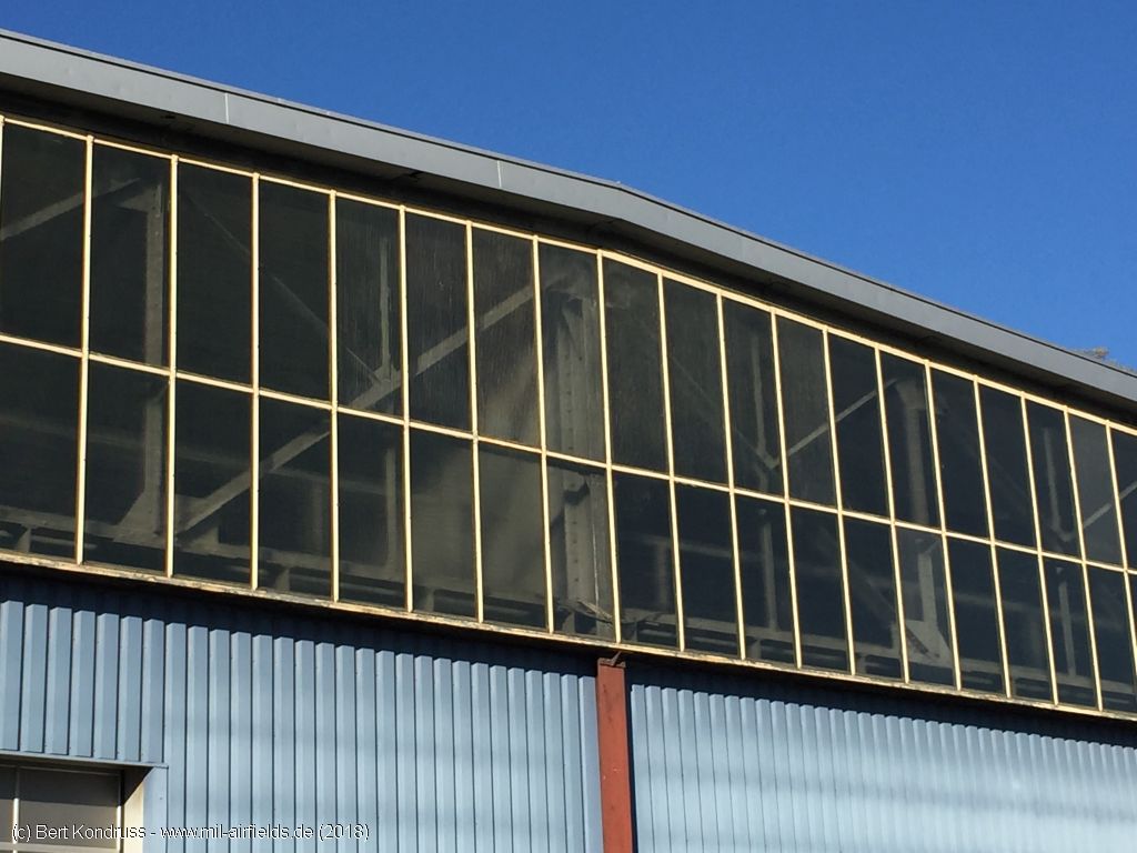
Roof construction
Eastern side
Eastern side
Western side of the eastern hangar
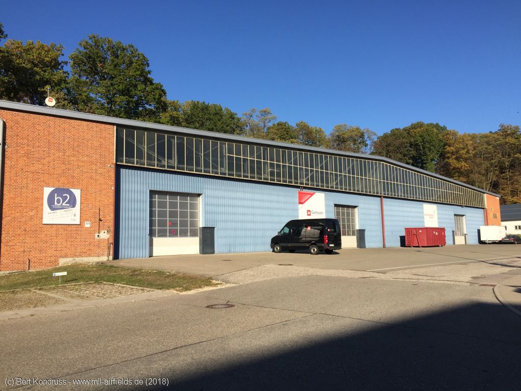
Eastern aircraft hangar - The roof apron used to be blue.
The two eastern hangars
Aircraft hangar
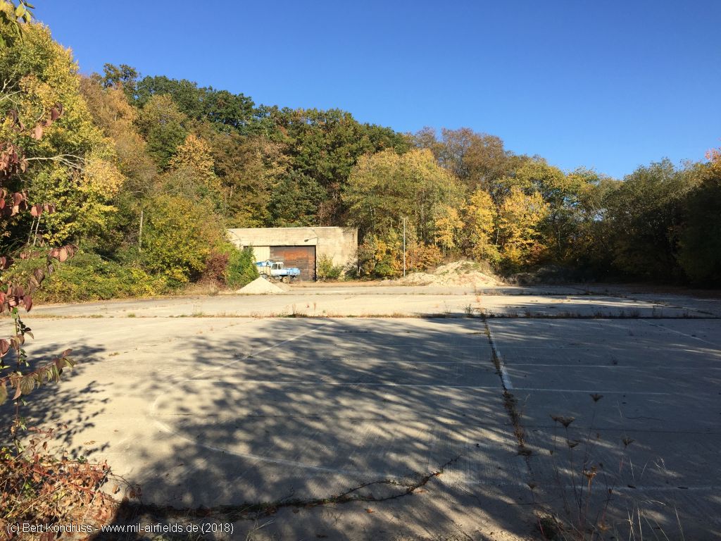
Area at the eastern end of the site
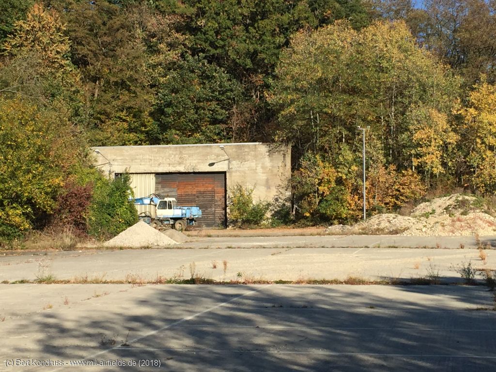
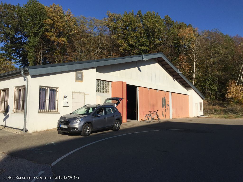
Garage
The control tower is surrounded buildings
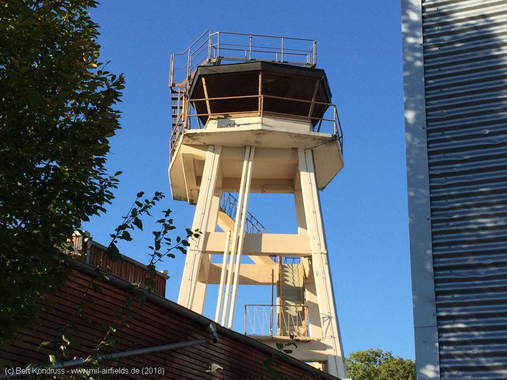
Control tower
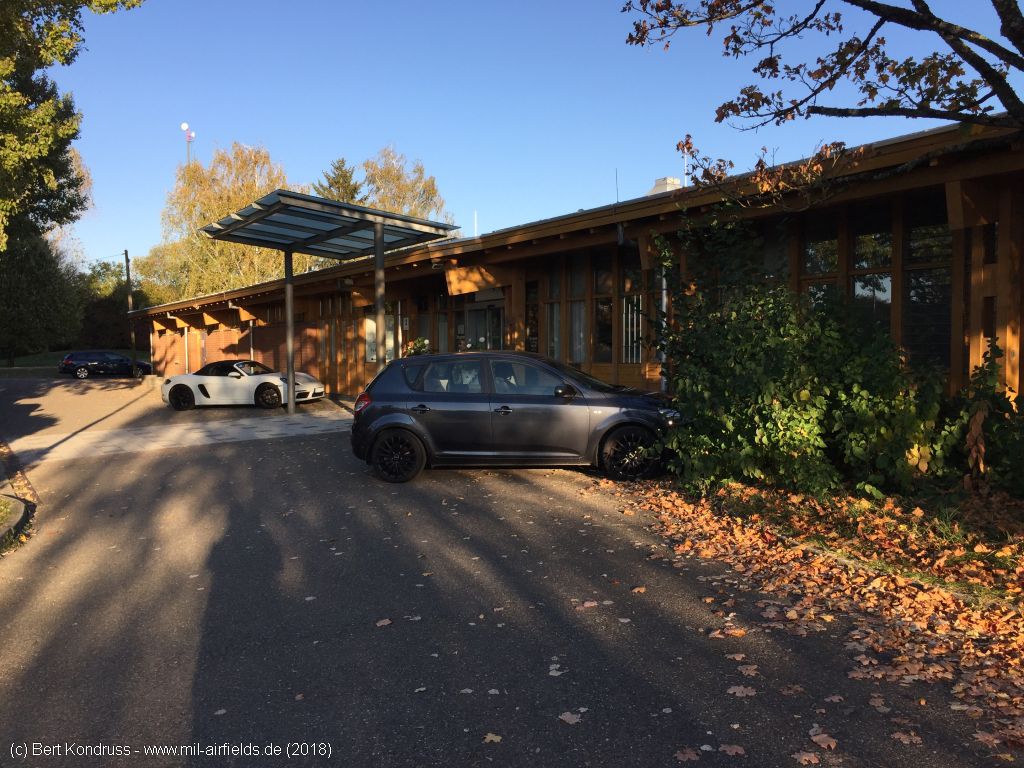
Golf Park in the northwestern part of the site
Northeastern part of the building
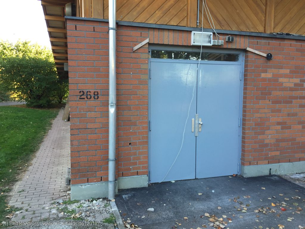
Stencil number "268" at the building
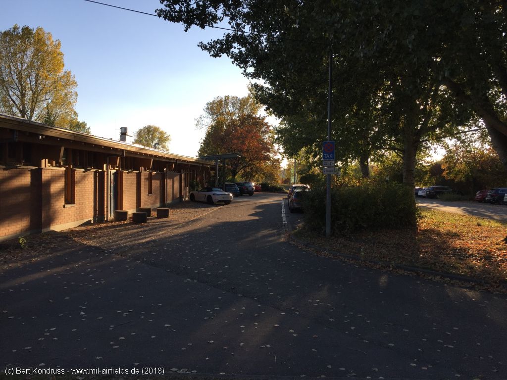
Golf Park Building
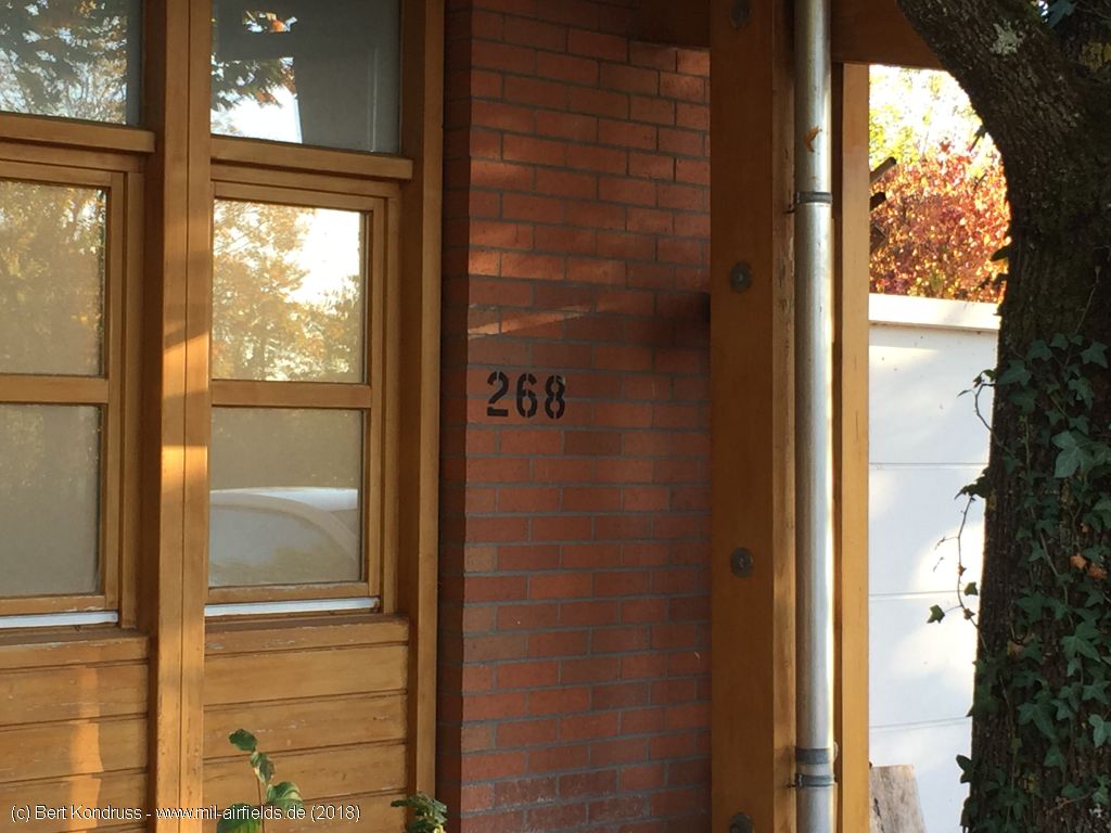
Also at the other end of the building, the "268" is applied with stencil
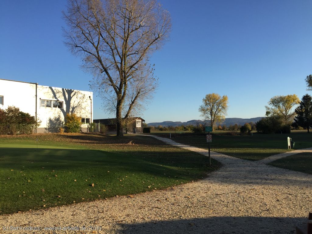
Golf course
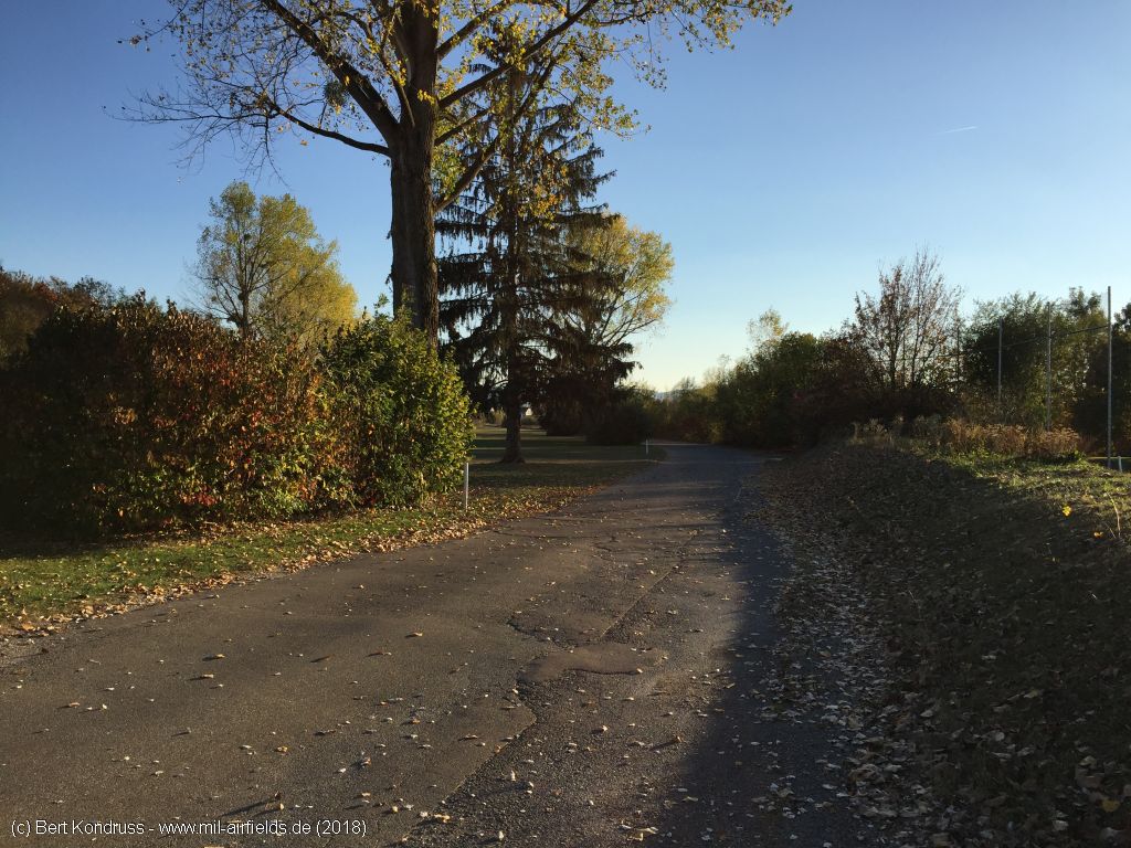
Perimeter road to Göppingen
Links
- Bing - Aerial picture
Bibliography
- Ries, Karl; Dierich, Wolfgang: "Fliegerhorste und Einsatzhäfen der Luftwaffe" Motorbuch Verlag Stuttgart, 1993 - Allied map of the former Luftwaffe airfield
Airfields in the vicinity
- 035°/15km Schwäbisch Gmünd: Army Airfield, Army Heliport (AAF, AHP, Mutlangen)
- 189°/26km Feldstetten: Gerätehauptdepot Helipad (Laichingen)
- 272°/31km Nellingen: Army Heliport AHP (Nellingen Barracks)
- 267°/34km Stuttgart: Airport, Army Airfield (Echterdingen AAF)
- 289°/35km Stuttgart: Bad Cannstatt Hospital AHP
- 297°/38km Ludwigsburg: Army Airfield AAF (Pattonville Airfield, Kornwestheim)