Toggle navigation
Military Airfield Directory
Cold War Airfields
Home
Air Bases
Radio beacons
Charts
Topics
Documents
Deutsch
←
Hohenfels
: Army Airfield
Hohn
: Air Base (Rendsburg) →
Home
Air Bases
Germany
Hohenheide
: Highway Strip
Autobahn-Notlandeplatz NLP
Diese Seite auf Deutsch
For historical information only, do not use for navigation or aviation purposes!
Coordinates
N532101 E0083540
(WGS84)
Google Maps
Elevation
10 ft
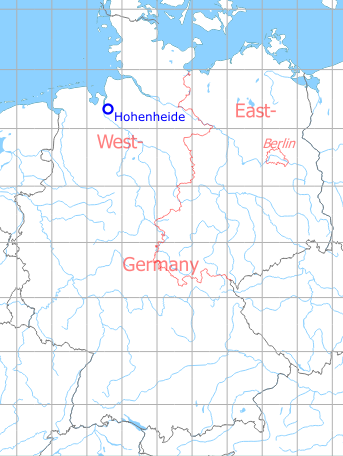
Germany during the Cold War
Map
The history of the Cold War airfields: Hohenheide
Location of airfield
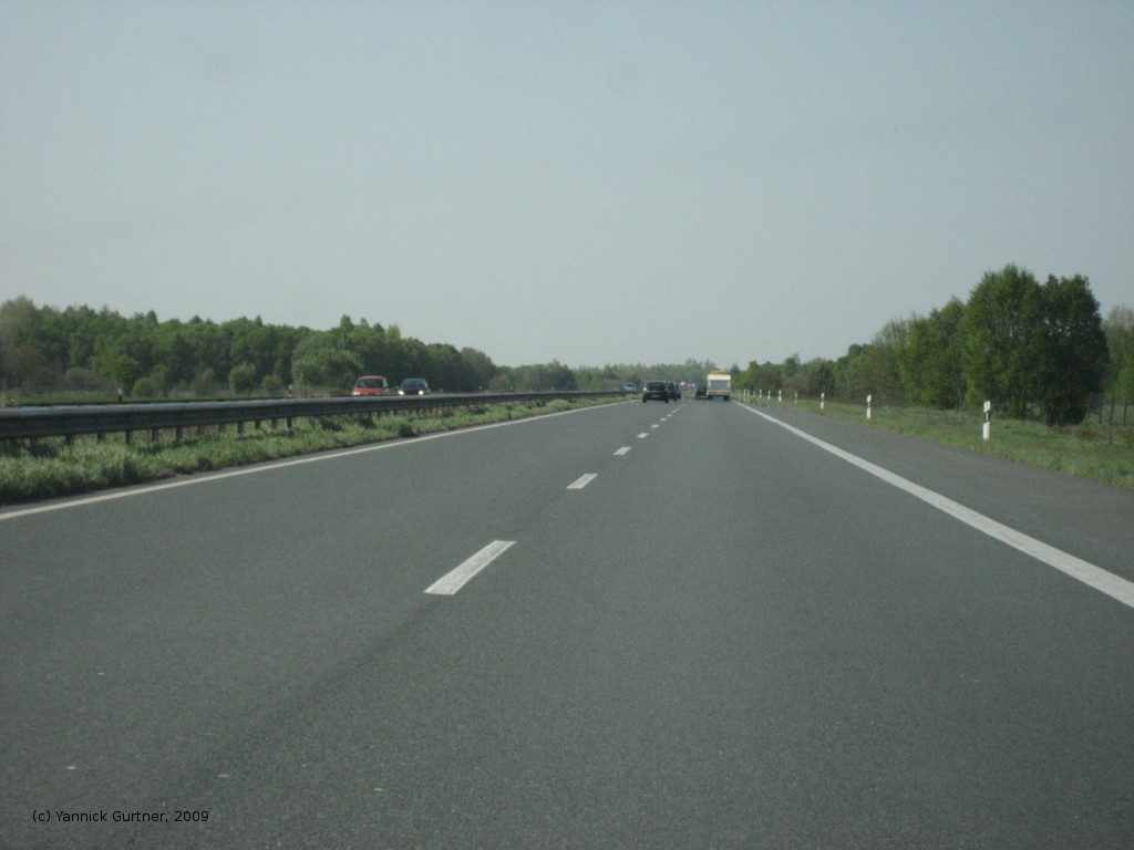
Autobahn A27.
Use today
Closed.
Runways
Data for the year 1990:
15/33: 2900m
Images
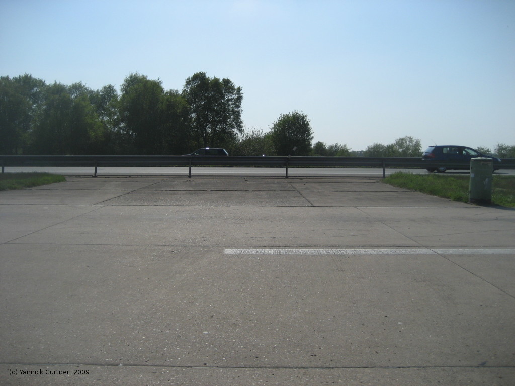
The following pictures were taken in april 2009 by Yannick Gurtner. Thanks a lot!
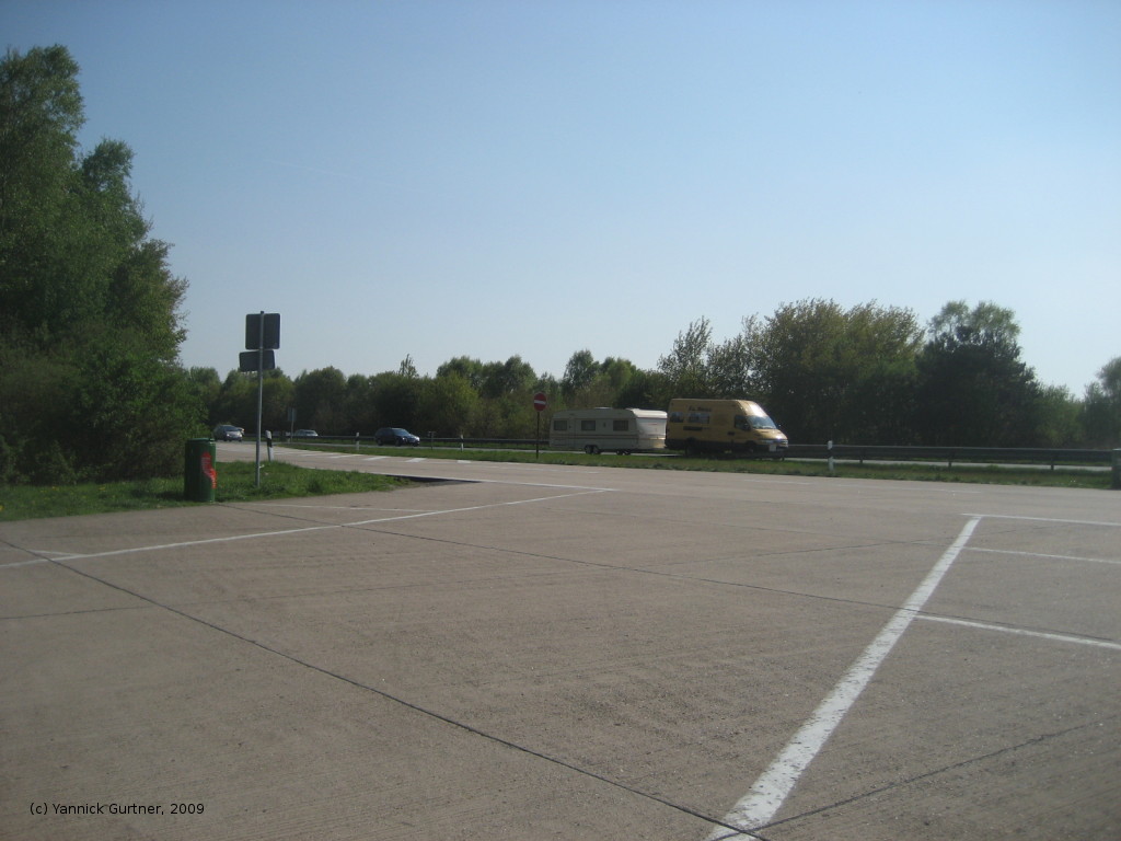
Parking in direction Bremerhaven
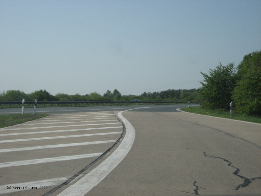
Look across the parking. The picture was created out of two pcitures, with the help of AutoStich (www.autostitch.net).
Airfields in the vicinity
146°/11km
Garlstedt
: Clay Kaserne Army Heliport (Army Heliport AHP)
175°/23km
Lemwerder
: Airfield
355°/26km
Bremerhaven
: Army Airfield AAF (Army Heliport AHP, Carl Schurz Kaserne)
Categories
Highway Strips Worldwide
Military Airfields Germany
Military Airfields in former West Germany
Highway Strips in former West Germany
Diese Seite auf Deutsch
←
Hohenfels
: Army Airfield
Hohn
: Air Base (Rendsburg) →