Hohenfels: Army Airfield
For historical information only, do not use for navigation or aviation purposes!
| Coordinates | N491260 E0115010 (WGS84) Google Maps |
| Elevation | 1455' |
| Federal state | Bayern (Bavaria) |
| Location indicator | EDIH (-1995), ETIH (1995-) |
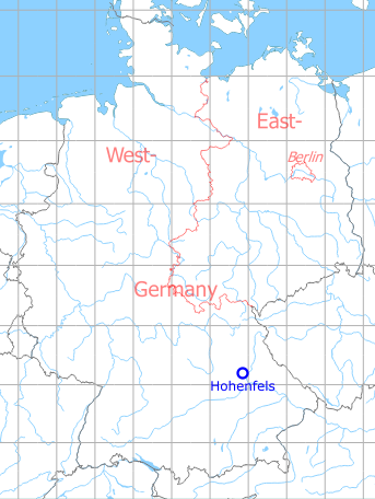
Germany during the Cold War Map
The history of the Cold War airfields: Hohenfels
During the Cold War
Use
US Army airfield.
Situation
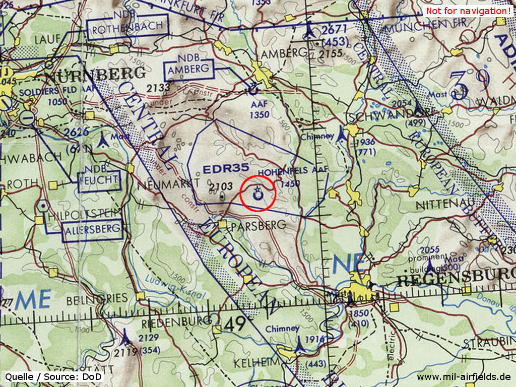
Hohenfels Army Airfield on a map of the US Department of Defense from 1972
Source: ONC E-2 (1972), Perry-Castañeda Library Map Collection, University of Texas at Austin
Overview
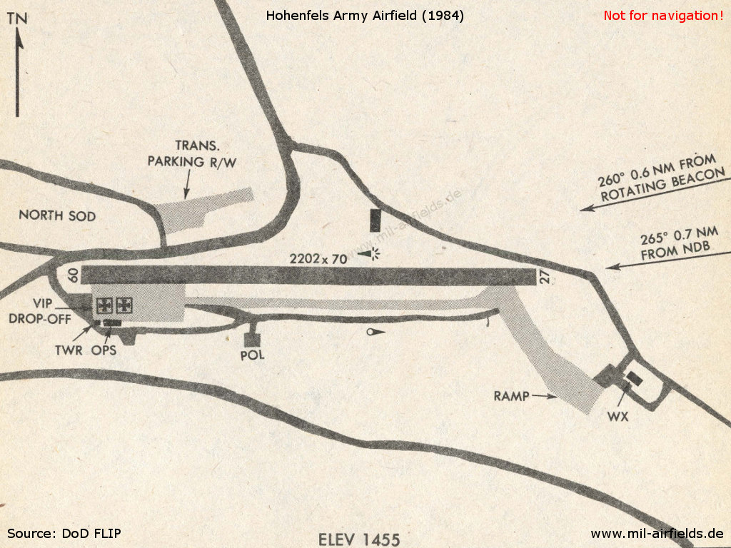
Hohenfels in 1984
Source: US DoD
Runways
Data for the year 1990:
- 09/27: 667 m x 22 m Asphalt
Radio beacons
Data for the year 1990:
- NDB: 286 "HFX", at field
Today
Overview
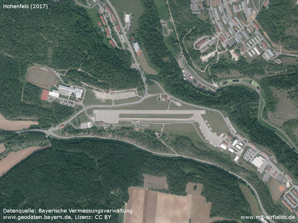
Aerial image (2017)
Sources
- https://geoportal.bayern.de/ - Geoportal Bayern
Airfields in the vicinity
Categories
Military Airfields GermanyMilitary Airfields in former West GermanyUS Army Airfields and Heliports in GermanyRecommended

Image credits are shown on the respective target page, click on the preview to open it.
 Follow mil-airfields on Facebook