For historical information only, do not use for navigation or aviation purposes!
| Coordinates | N520327 E0142421 (WGS84) Google Maps |
| Former East Germany (GDR) | District of Frankfurt/O |
| Federal state | Brandenburg |
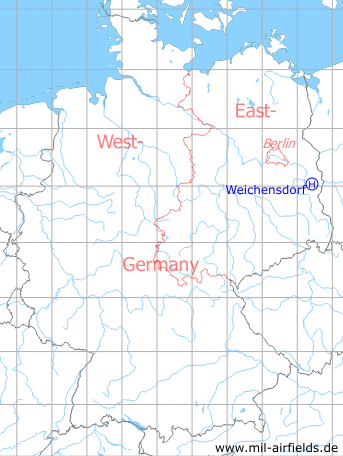
Germany during the Cold War Map
The history of the Cold War airfields: Weichensdorf
Location of airfield
4.7 km southeast of Weichensdorf, at the eastern side of the ammunition depot.
Usage during the Cold War
Helipad 1033 for Ammunition Depot 22 (Munitionslager 22, ML-22) of former East German National People's Army (NVA).
Use today
Closed.
Runways, taxiways, aprons
Dimensions: 250 m x 300 m,
main takeoff and landing direction: 45°,
underground: loamy sand,
capacity: 3 helicopters.
main takeoff and landing direction: 45°,
underground: loamy sand,
capacity: 3 helicopters.
Communication
Radio and telephone link in the military phone net (AFN) after connecting.
Airspace and procedures
Usable at day and night during good weather conditions.
Alert time: 90 minutes.
Alert time: 90 minutes.
Obstacles
None.
Airfields in the vicinity
- 343°/12km Schneeberg: Helipad 3043 (HSLP / HSLP 3043)
- 178°/13km Lieberose: Airfield (Аэродром Либерозе)
- 304°/16km Ranzig: Helipad 3003 (Beeskow)
- 324°/19km Beeskow: Agricultural Airfield
- 040°/20km Eisenhüttenstadt: Airfield (Pohlitz)
- 155°/21km Drewitz: Air Base (Jänschwalde Ost, Cottbus-Drewitz)
 Follow mil-airfields on Facebook