Weixdorf: Highway Strip
Autobahnabschnitt ABA Dresden, Ottendorf-Okrilla Highway Strip
For historical information only, do not use for navigation or aviation purposes!
| Coordinates | N510937 E0134729 (WGS84) Google Maps |
| Former East Germany (GDR) | District of Dresden |
| Federal state | Sachsen (Saxony) |
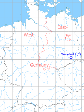
Germany during the Cold War Map
The history of the Cold War airfields: Weixdorf
General
Approximately 2 km northeast of Dresden Airport, a section of the GDR motorway A 6 (today motorway A 4) Dresden - Görlitz was intended for operation with military aircraft. It was recognisable by a continuously paved central strip. In the East German National People's Army (NVA), this section had the airfield number 2034. Communication-wise, it was connected to Dresden Airport. Today, this section has been converted back into a normal motorway.
During the Cold War
Usage during the Cold War
Highway strip.
Overview
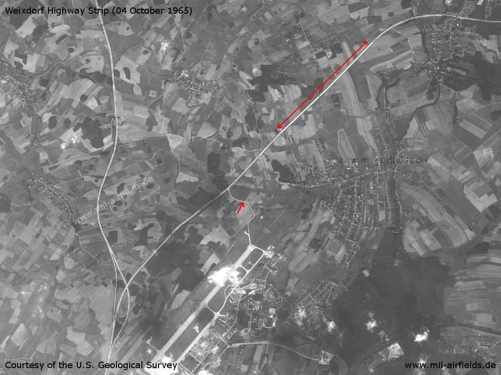
Weixdorf Highway Strip (long red arrow) and Dresden Airport (at the bottom) on a US satellite image from 04 October 1965 - The small red arrow points to a road from the airport to the autobahn.
Source: U.S. Geological Survey
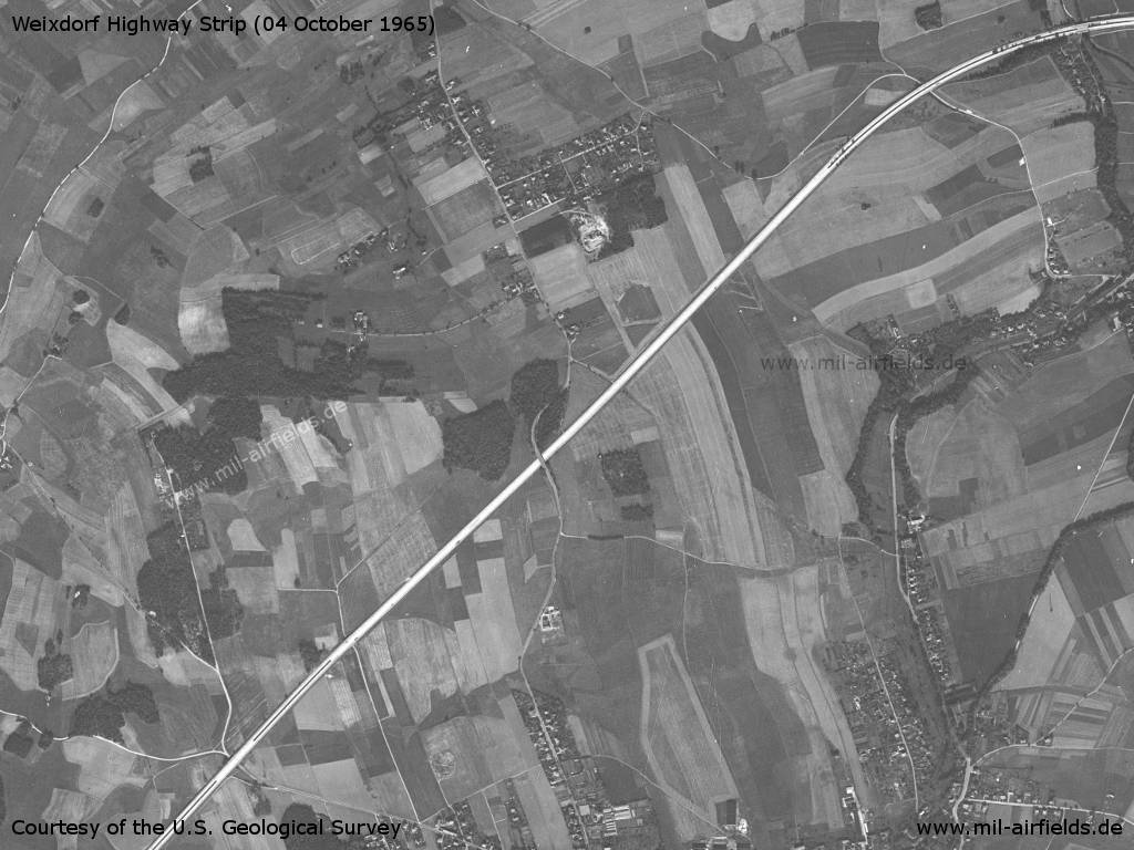
The highway strip in full length. - To the south-west of the centre, a bridge leads over the motorway. Besides, the section doesn't seem to be fully straight.
Source: U.S. Geological Survey
Northeastern end - You can see the transition to a continuously paved central strip.
Source: U.S. Geological Survey
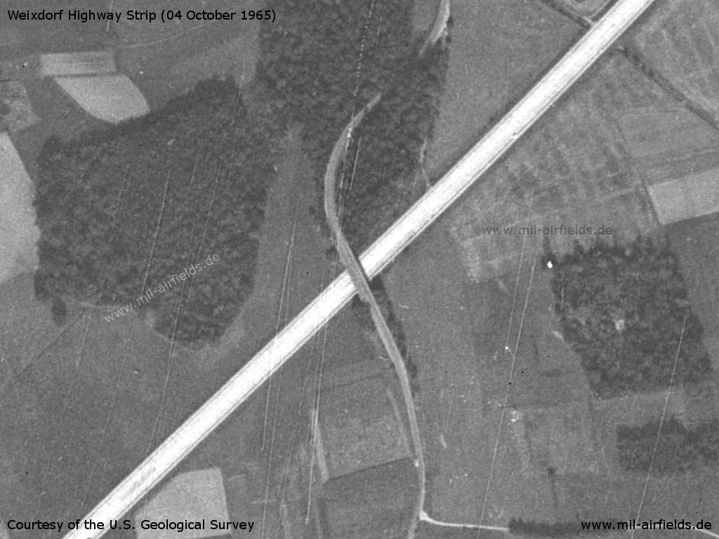
Bridge
Source: U.S. Geological Survey
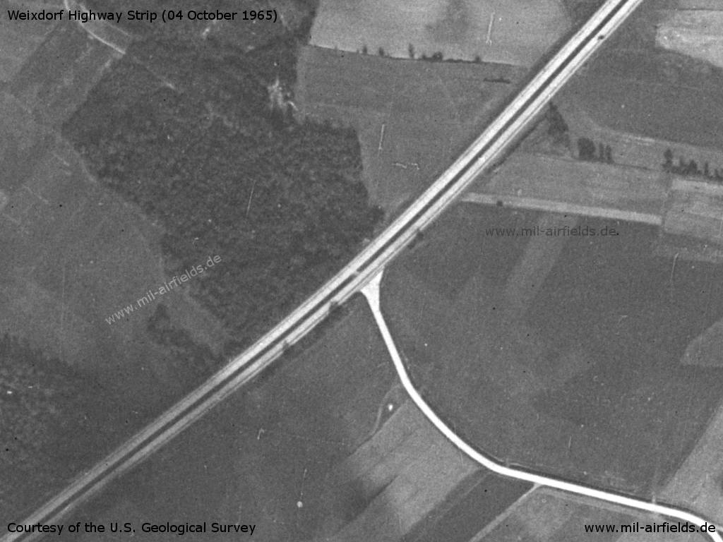
Southwestern end
Source: U.S. Geological Survey
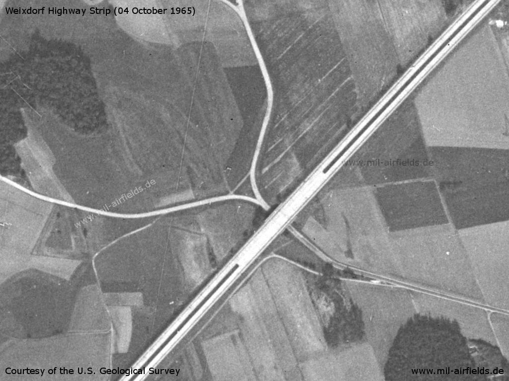
Another short section with paved central strip in the area of a bridge a little further south.
Source: U.S. Geological Survey
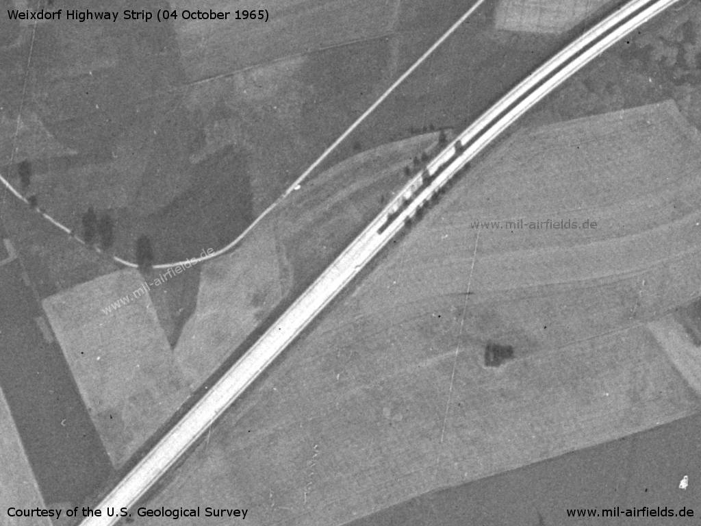
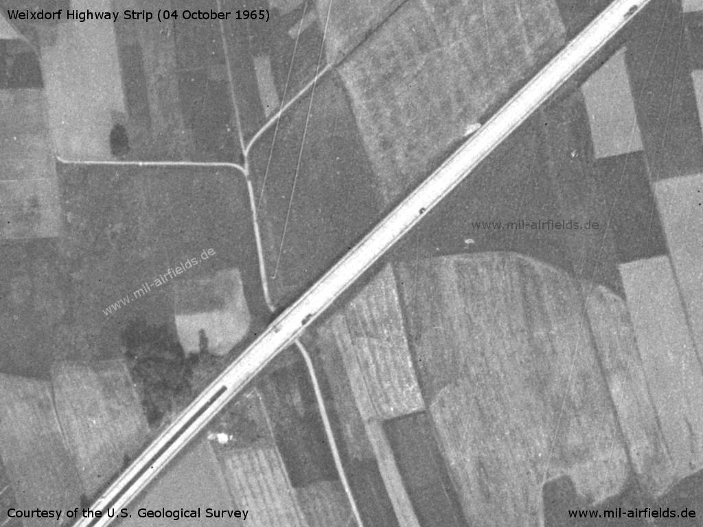
Junction of the connection path to the airport
Source: U.S. Geological Survey
Today
Use today
Closed.
 Follow mil-airfields on Facebook