Altenstadt: Airfield
For historical information only, do not use for navigation or aviation purposes!
| Coordinates | N475008 E0105215 (WGS84) Google Maps |
| Elevation | 2425 ft |
| Federal state | Bayern (Bavaria) |
| Location indicator | EDPL (-1995), ETHA (1995-) |
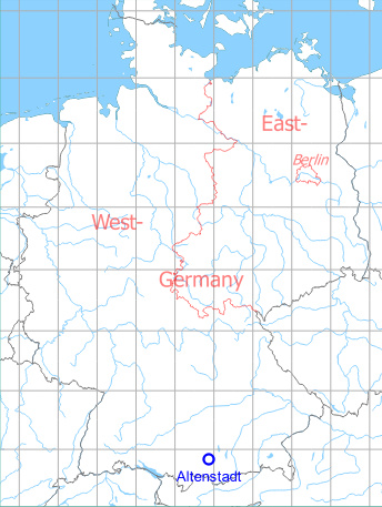
Germany during the Cold War Map
The history of the Cold War airfields: Altenstadt
During the Cold War
Use
Army airfield.
Situation
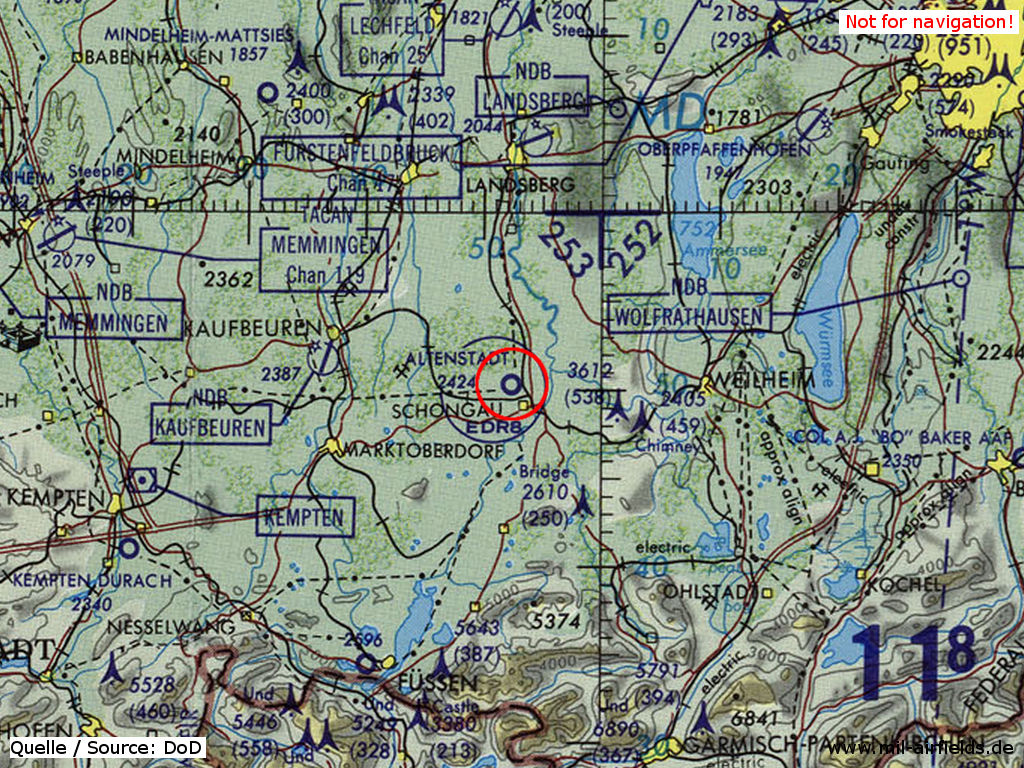
Altenstadt Airfield on a map of the US Department of Defense from 1981
Source: ONC F-2 (1981), Perry-Castañeda Library Map Collection, University of Texas at Austin
Overview
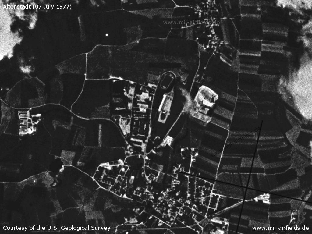
Altenstadt Airfield on a US satellite image from 07 July 1977
Source: U.S. Geological Survey
Runways
- 09/27: 700 m x 30 m Grass
Today
Overview
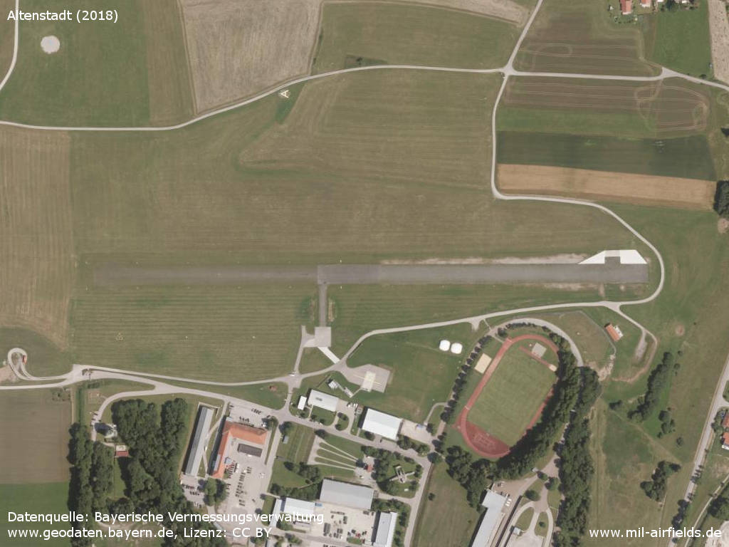
Aerial image
Source: Datenquelle: Bayerische Vermessungsverwaltung www.geodaten.bayern.de, License: Creative Commons Namensnennung 3.0 Deutschland (CC BY 3.0 DE)
Videos
- https://www.youtube.com/watch?v=1-h1HIr1Zao - Der erste Sprung
Sources
- https://geoportal.bayern.de/ - Geoportal Bayern
Airfields in the vicinity
- 279°/19km Kaufbeuren: Air Base
- 006°/26km Landsberg/Lech: Air Base (Penzing)
Recommended
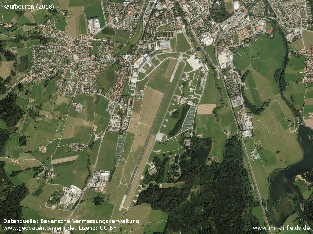
Image credits are shown on the respective target page, click on the preview to open it.
 Follow mil-airfields on Facebook