For historical information only, do not use for navigation or aviation purposes!
| Coordinates | N524637 E0110918 ca. (WGS84) Google Maps |
| Former East Germany (GDR) | District of Magdeburg |
| Federal state | Sachsen-Anhalt (Saxony-Anhalt) |
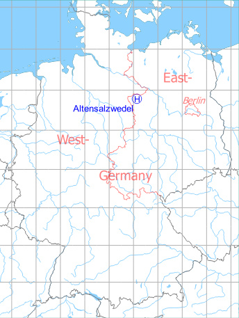
Germany during the Cold War Map
The history of the Cold War airfields: Altensalzwedel
Location of airfield
1,7 km northwest of Altensalzwedel.
During the Cold War
General
In East Germany, the National People's Army (NVA) had a radar site near Altensalzwedel, operated by the Radio-technical Company 290 (Funktechnische Kompanie FuTK-290), which was later renamed to FuTK-614. This site, only 13 km away from the inner-German border, had a helicopter landing field, where helicopters were on alert in the 1980s to better pursue "border violations" by slow-moving aircraft.
In the 1960s
Overview
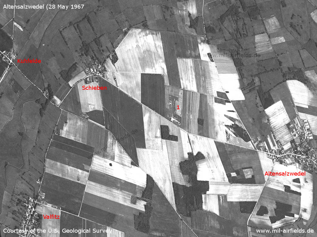
The area west of Altensalzwedel US satellite image from 28 May 1967 - Other places: Kuhfelde, Valfitz. The picture is a little bit distorted.
Source: U.S. Geological Survey

Enlargement: The radar site of the East German Radio-technical company 290 (FuTK-290)
Source: U.S. Geological Survey
In the 1970s
Overview
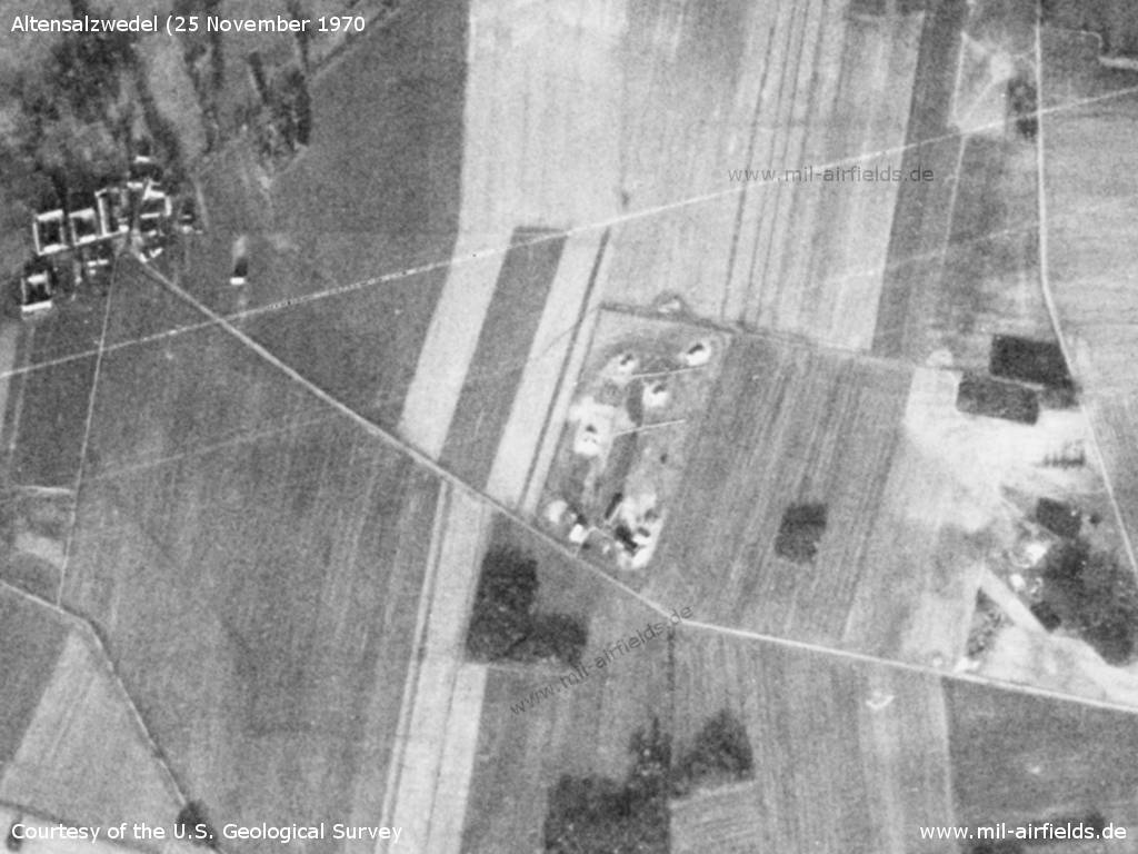
Satellite image from 25 November 1970 - Meanwhile, four hills have been created in the north of the site, for the elevated placement of radar systems
Source: U.S. Geological Survey
In the 1980s and early 1990s
Use
Helipad 3184 for Radar company 614 (FuTK-614) of East German Air Force (NVA LSK/LV).
Runways, taxiways, aprons
Dimensions: 19 m x 19 m,
Main takeoff and landing direction: 300°,
Surface: Concrete,
Usable without crop damage,
Capacity: 2 helicopters.
Main takeoff and landing direction: 300°,
Surface: Concrete,
Usable without crop damage,
Capacity: 2 helicopters.
The helipad was probably located directly at the radar site, perhaps the two concrete pads which are still visible on today's satellite images in the center of site and eastwards.
Telephone
Stabsnetz S1 205+734p
Airspace and procedures
Usable at day during good weather conditions,
Alert time: 30 minutes
Alert time: 30 minutes
Obstacles
Antenna: distance 50 m, height 20 m;
AMU Mast: distance 45 m, height 30 m
AMU Mast: distance 45 m, height 30 m
Units
Radio-technical company 614 (FuTK-614)
Hierarchy 1989:
- Ministry of National Defense (MfNV)
-- National People's Army (NVA)
--- Air Force/Air Defense (LSK/LV)
---- 3rd Air Defense Division (1. LVD)
----- Radio-technical Bataillon 61 (FuTB-61)
------ Radio-technical Company 614 (FuTK-614)
- Ministry of National Defense (MfNV)
-- National People's Army (NVA)
--- Air Force/Air Defense (LSK/LV)
---- 3rd Air Defense Division (1. LVD)
----- Radio-technical Bataillon 61 (FuTB-61)
------ Radio-technical Company 614 (FuTK-614)
Address:
Post box 74043
Post box 74043
Installation:
Military installation number: 07/047
Military installation number: 07/047
Today
Use
Closed.
Overview
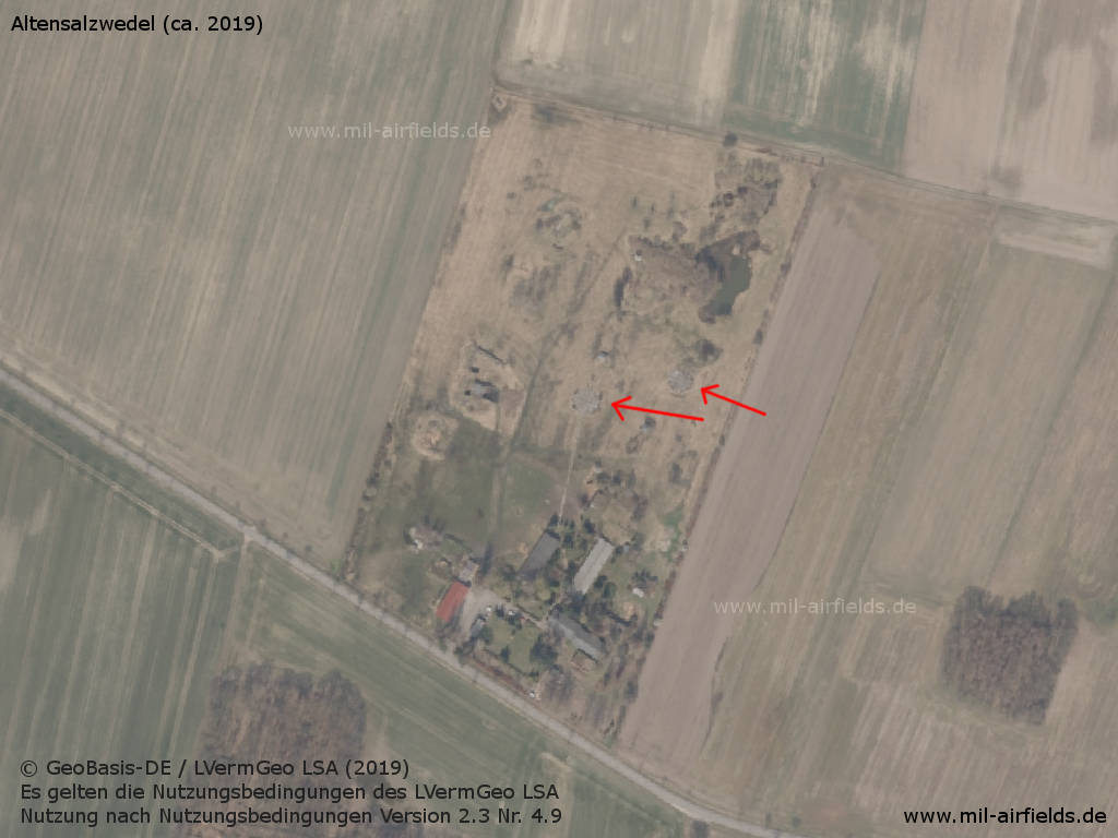
Aerial picture (approx. 2019) - The red arrows point to the former paved helicopter hardstands.
Source: © GeoBasis-DE / LVermGeo LSA (2019).
Es gelten die Nutzungsbedingungen des LVermGeo LSA. Nutzung nach Nutzungsbedingungen Version 2.3 Nr. 4.9
Sources
- https://www.lvermgeo.sachsen-anhalt.de - Landesamt für Vermessung und Geoinformation Sachsen-Anhalt
Airfields in the vicinity
- 028°/7km Salzwedel: Fliegerhorst, Heliport
Categories
Military Airfields GermanyMilitary Airfields in former East GermanyHelipads of former National People's ArmyRecommended
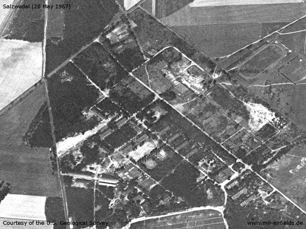
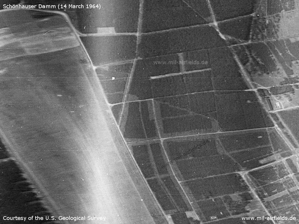
Image credits are shown on the respective target page, click on the preview to open it.
 Follow mil-airfields on Facebook