For historical information only, do not use for navigation or aviation purposes!
| Coordinates | N501153 E0090729 (WGS84) Google Maps |
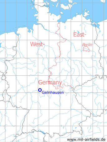
Germany during the Cold War Map
The history of the Cold War airfields: Gelnhausen
Location of airfield
The Army Airfield was probably located on the former airbase Gelnhausen. Today area Lange Straße, Seibelstraße, Erlichstraße, Autobahn A 66.
Usage during the Cold War
US Army airfield, maybe until the early 1970s.
Use today
Closed.
Runways
Data for the late 1960s:
- 09/27: 427 m Grass
Airfields in the vicinity
- 334°/11km Büdingen: Army Airfield AAF (Budingen)
- 258°/14km Hanau: Army Air Field AAF (Erlensee, Langendiebach)
- 185°/26km Aschaffenburg: Army Airfield AAF
 Follow mil-airfields on Facebook