For historical information only, do not use for navigation or aviation purposes!
| Coordinates | N505847 E0120330 (WGS84) Google Maps |
| Former East Germany (GDR) | District of Halle |
| Federal state | Sachsen-Anhalt (Saxony-Anhalt) |
| Region | Zeitzer Forst |
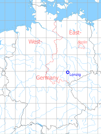
Germany during the Cold War Map
The history of the Cold War airfields: Lonzig
During the Cold War
Usage during the Cold War
Soviet reserve airfield on training ground.
In the 1960s
Overview
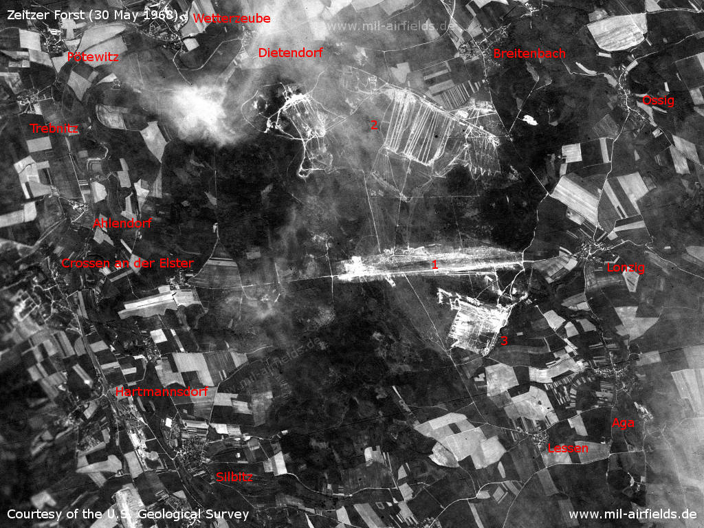
Zeitzer Forst Soviet military training area on a US satellite image from 30 May 1968 - 1: landing ground; 2: firing ranges; 3: other installations. Places: Aga, Ahlendorf, Breitenbach, Crossen an der Elster, Dietendorf, Hartmannsdorf, Lessen, Ossig, Pötewitz, Silbitz, Trebnitz, Wetterzeube.
Source: U.S. Geological Survey
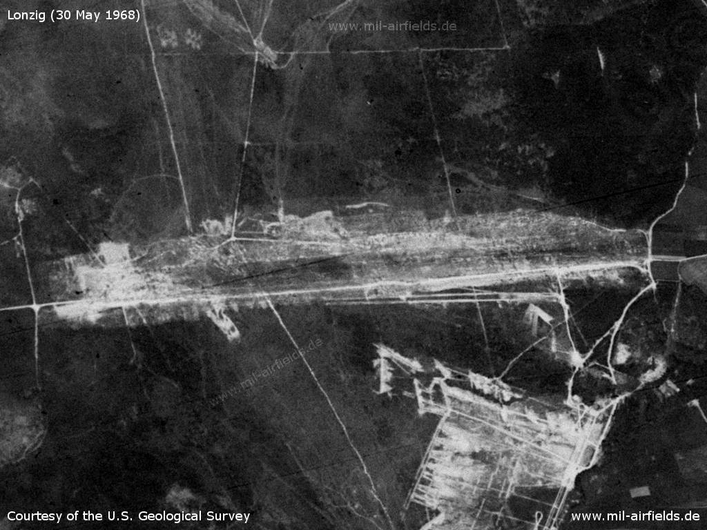
Lonzig Airfield
Source: U.S. Geological Survey
In the 1970s
Situation
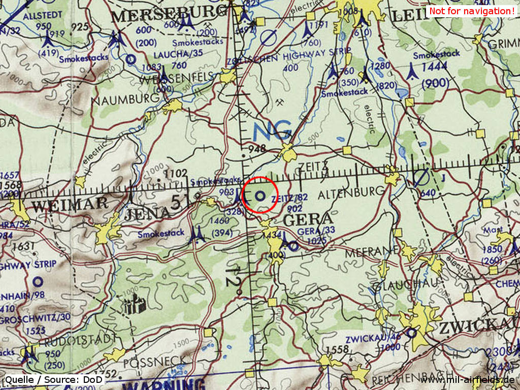
Lonzig Airfield as "Zeitz" on a map of the US Department of Defense from 1972 - The field is shown with an unpaved runway, which has a length of approx. 2.500 m (82 = 8.200 feet). The elevation / height above mean sea level is 902 feet.
Source: ONC E-2 (1972), Perry-Castañeda Library Map Collection, University of Texas at Austin
Runways
- 09/27: 2500 m Grass
Today
Use today
Closed.
Sources
- https://www.usgs.gov/ - USGS: U.S. Geological Survey
Airfields in the vicinity
- 103°/24km Großstöbnitz: Helipad 3162 (HSLP / HLP 3162, Burkersdorf, Gleina)
- 089°/31km Altenburg: Air Base (Nobitz, Аэродром Альтенбург)
- 277°/31km Wormstedt: Airfield (Zimmern)
- 005°/32km Zöllschen: Highway Strip (Bad Dürrenberg, Lützen)
- 247°/35km Rothenstein: Helipad
- 244°/36km Schöps: Agricultural Helipad
Recommended
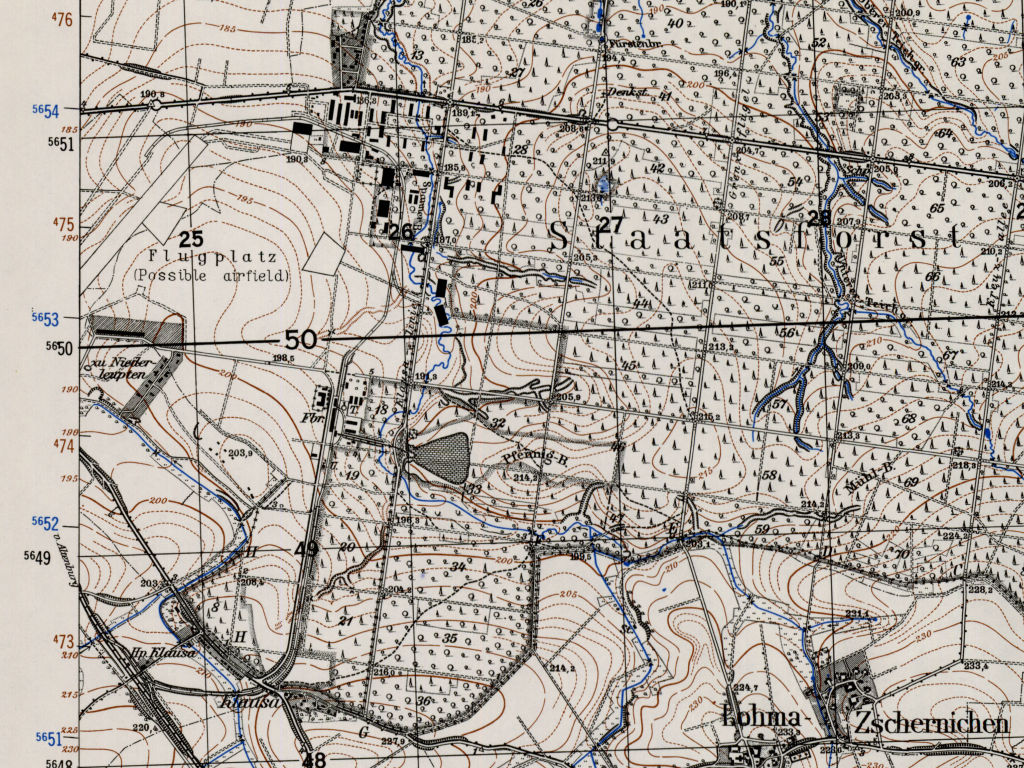
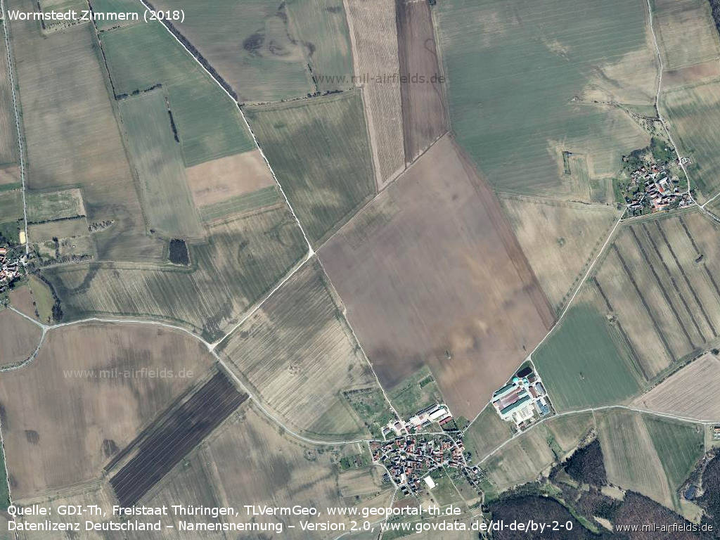
Image credits are shown on the respective target page, click on the preview to open it.
 Follow mil-airfields on Facebook