Schöps: Agricultural Helipad
For historical information only, do not use for navigation or aviation purposes!
| Coordinates | N505001 E0113537 (WGS84) Google Maps |
| Former East Germany (GDR) | District of Gera |
| Federal state | Thüringen (Thuringia) |
| Region | Saale river / Saale valley |
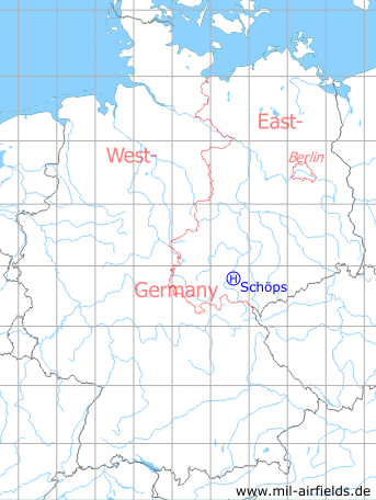
Germany during the Cold War Map
The history of the Cold War airfields: Schöps
During the Cold War
General
In the GDR, the Grundflugplatz (basic agricultural airfield) A 10-04 was located approx. 10 km south of the Jena city center near Schöps. This was a helicopter landing field.
Overview
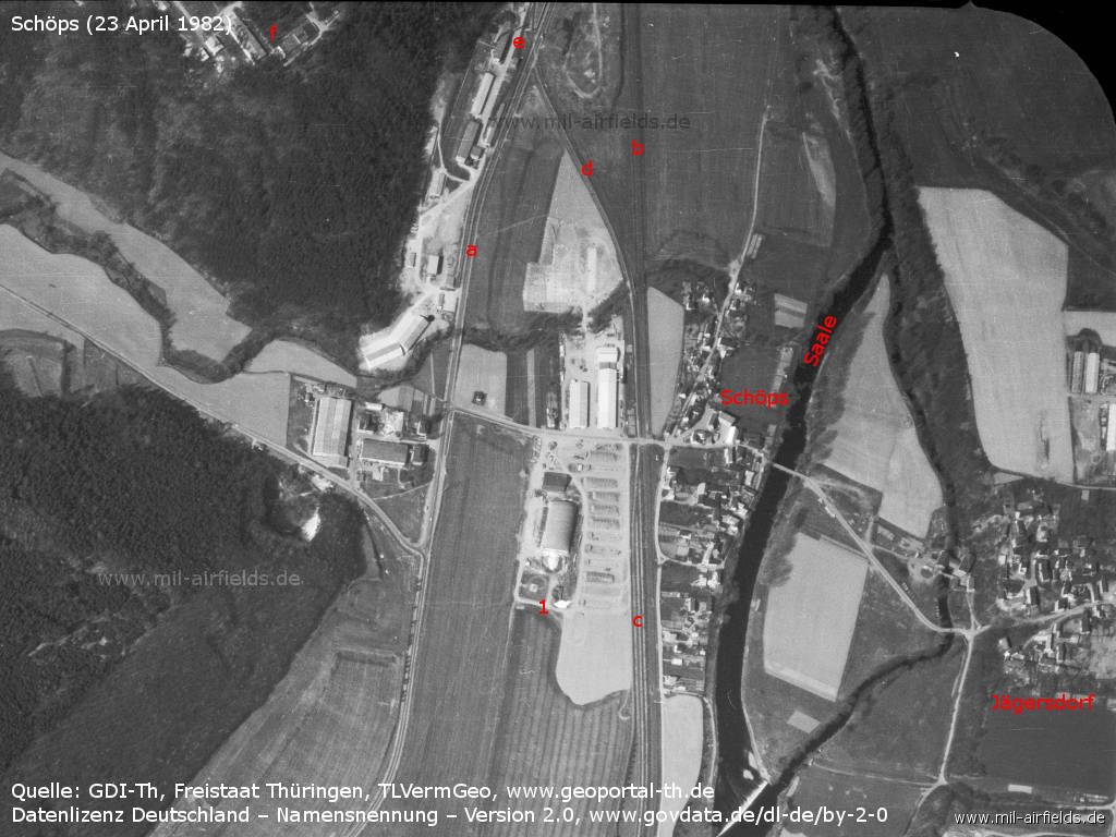
Aerial image from 23 April 1982 - 1: helipad. a: highway F88; b: railroad Jena - Kahla; c: shunting tracks for Komplexlager 22 (KL-22) storage of the East German National People's Army (NVA); d: railroad siding for KL-22; e: southern corner of KL-22; f: southern corner of the Rothenstein Soviet military training ground. Places: Jägersdorf, Schöps. River: Saale.
Source: GDI-Th, Freistaat Thüringen, TLVermGeo - www.geoportal-th.de, Data licence Germany – attribution – version 2.0, www.govdata.de/dl-de/by-2-0
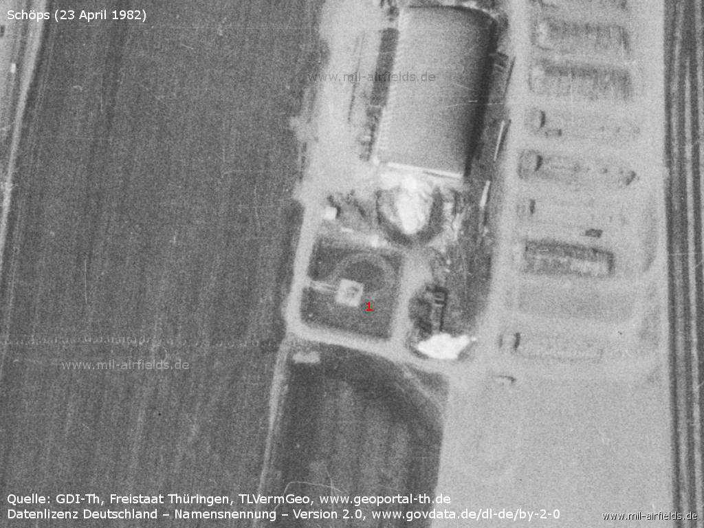
1: the helipad.
Source: GDI-Th, Freistaat Thüringen, TLVermGeo - www.geoportal-th.de, Data licence Germany – attribution – version 2.0, www.govdata.de/dl-de/by-2-0
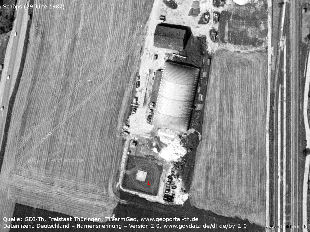
Aerial picture from 29 June 1987
Source: GDI-Th, Freistaat Thüringen, TLVermGeo - www.geoportal-th.de, Data licence Germany – attribution – version 2.0, www.govdata.de/dl-de/by-2-0
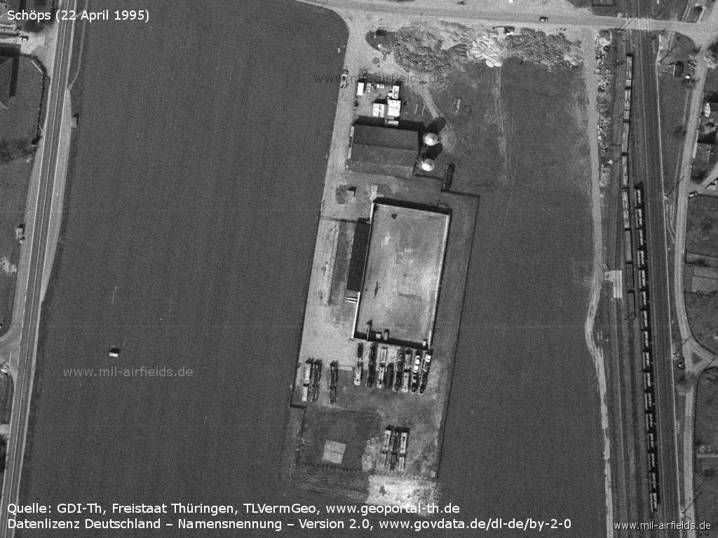
Aerial image from 22 April 1995 - After the fall of the wall, the landing site was closed. Here it is already partly rebuilt.
Source: GDI-Th, Freistaat Thüringen, TLVermGeo - www.geoportal-th.de, Data licence Germany – attribution – version 2.0, www.govdata.de/dl-de/by-2-0
Today
Use
Closed.
Overview
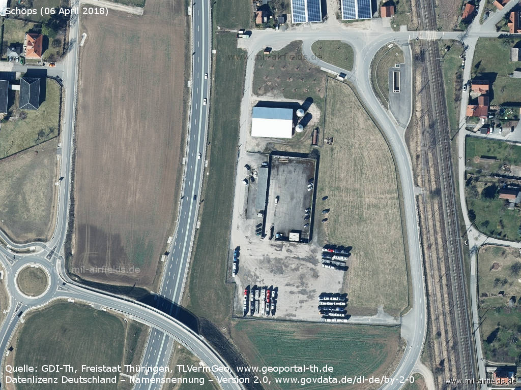
Aerial image from 06 April 2018 - Nothing can be seen anymore of the former landing site in 2018.
Source: GDI-Th, Freistaat Thüringen, TLVermGeo - www.geoportal-th.de, Data licence Germany – attribution – version 2.0, www.govdata.de/dl-de/by-2-0
Sources
- https://www.geoportal-th.de/ - Geoportal Thüringen
Airfields in the vicinity
- 001°/2km Rothenstein: Helipad
- 271°/15km Blankenhain: Airfield (Kottenhain)
- 006°/20km Wormstedt: Airfield (Zimmern)
Recommended
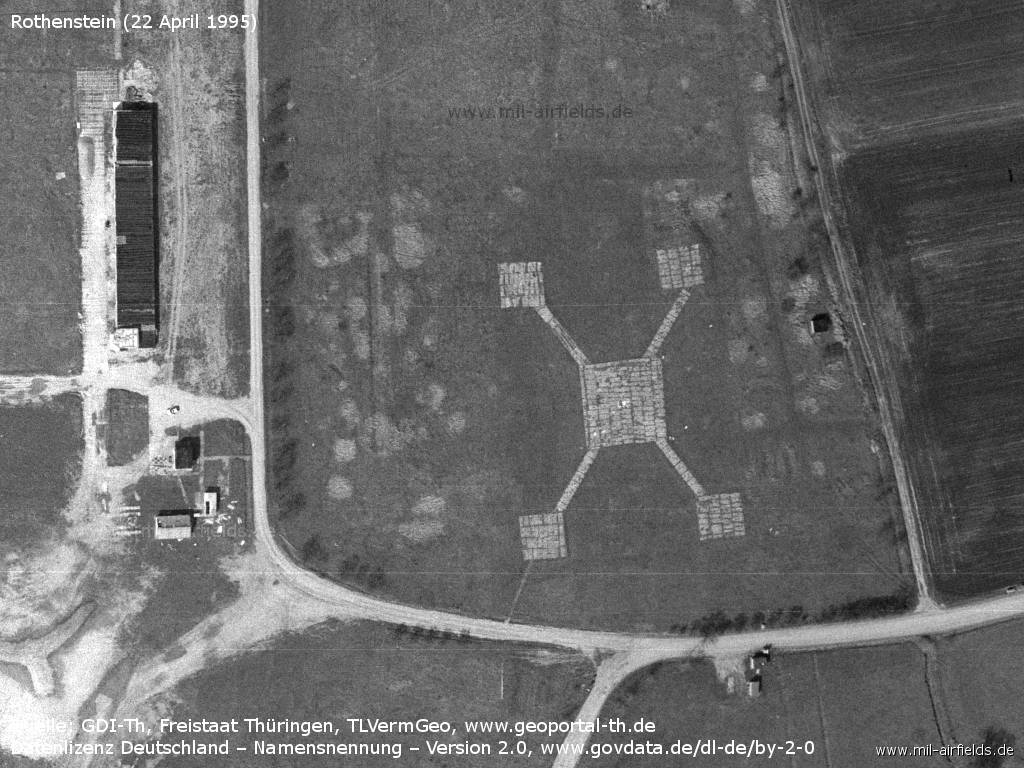
Image credits are shown on the respective target page, click on the preview to open it.
 Follow mil-airfields on Facebook