Todendorf: Army Airfield
For historical information only, do not use for navigation or aviation purposes!
| Coordinates | N542110 E0103723 ca. (WGS84) Google Maps (approximate location) |
| Location indicator | EDOD |

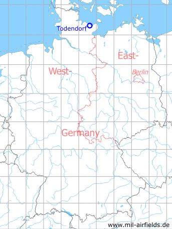
Germany during the Cold War Map
The history of the Cold War airfields: Todendorf
Location
Federal State of Schleswig-Holstein.
Location of airfield
About 1.2 km northeast of Behrensdorf.
Usage during the Cold War
US Army airfield or helipad.
Use today
Closed.