For historical information only, do not use for navigation or aviation purposes!
| Coordinates | N543617 E0182649 (WGS84) Google Maps |
| Elevation | 35' |
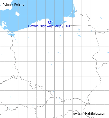
The history of the Cold War airfields: Gdynia
During the Cold War
Overview
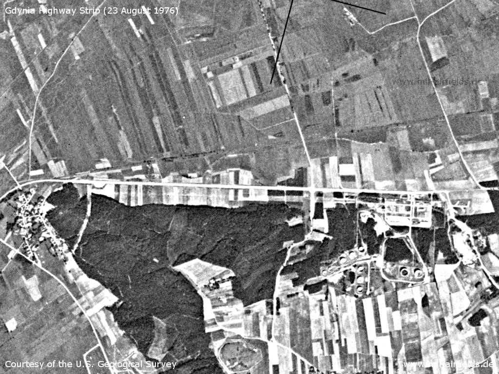
Gdynia Highway Strip on a US satellite image from 23 August 1976
Source: U.S. Geological Survey
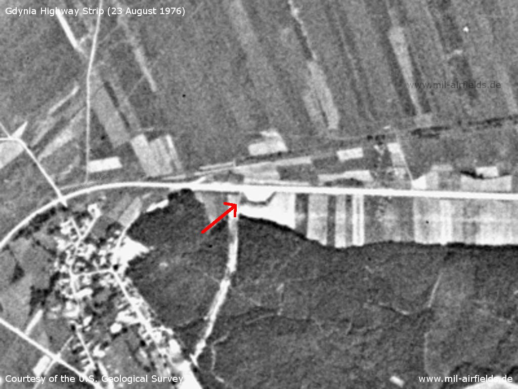
Western end - The red arrow marks an aircraft ramp
Source: U.S. Geological Survey
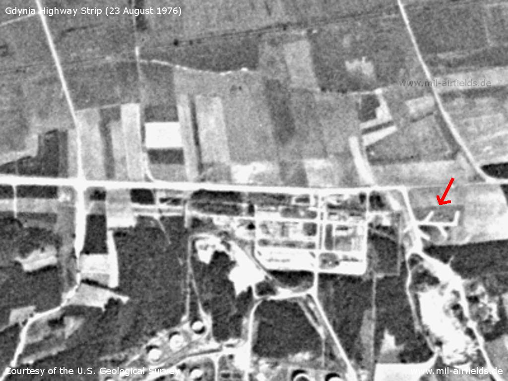
Eastern end - The red arrows marks a possible dispersal area
Source: U.S. Geological Survey
Runways
- 09/27
Today
Use
Closed.
Airfields in the vicinity
Categories
Highway Strips WorldwideRecommended
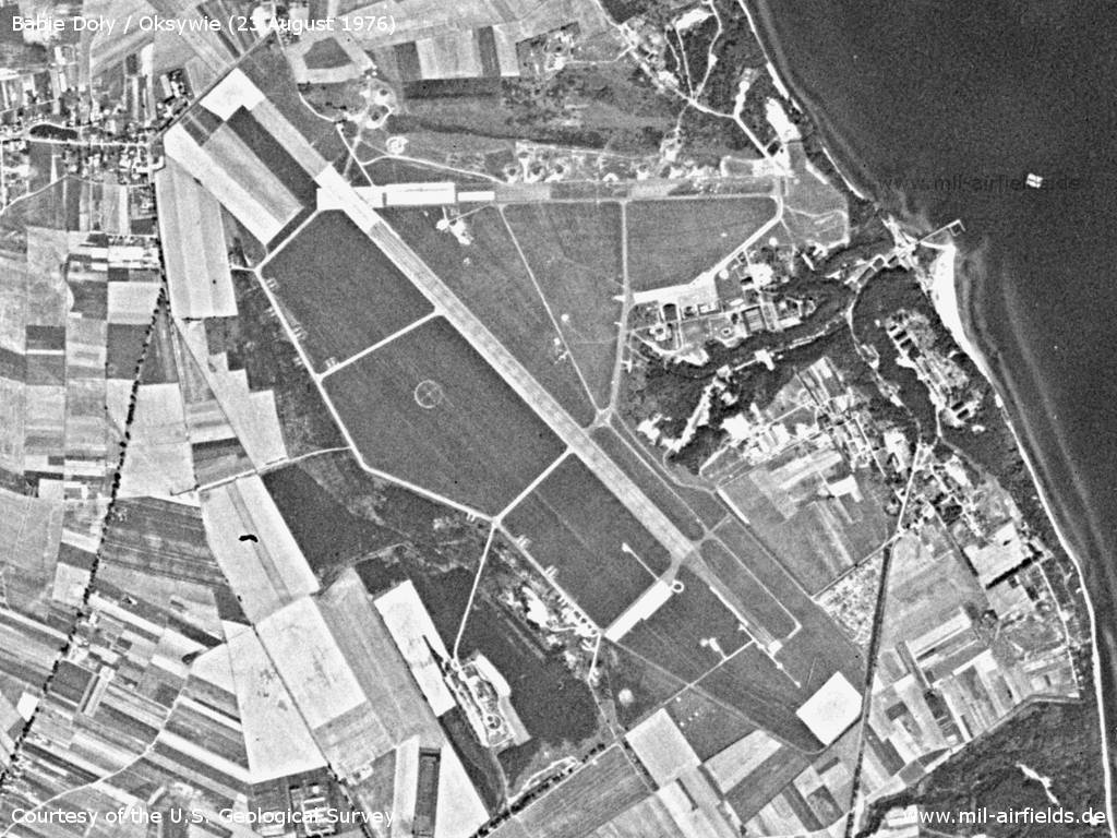
Image credits are shown on the respective target page, click on the preview to open it.
 Follow mil-airfields on Facebook