Ahlhorn Air Base, Germany
RAF Ahlhorn
Historical approach and aerodrome charts
For historical information only, do not use for navigation or aviation purposes!
| Coordinates | N525320 E0081400 (WGS84) Google Maps |
| Elevation | 162 ft |
| Federal state | Niedersachsen (Lower Saxony) |
| Location indicator | DAAH (RAF), EDNA (Luftwaffe), ETNA, EDHA |
| Operator | Royal Air Force (RAF), Luftwaffe |
Ahlhorn is a decommissioned air base in Lower Saxony, Germany. After World War II it was used by the Royal Air Force (RAF), later by the German Air Force. Today the field is closed.
In the 1960s
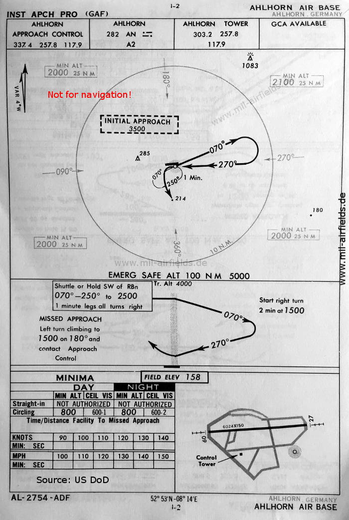
NDB approach runway 27 (October 1960) - There is one runway - 09/27: length 1836 m, width 46 m (6024 feet x 150 feet). (Source: US DoD)
Index to the objects shown on the maps
Radio beacons mit Identifier:
- Ahlhorn NDB "AN"
Air traffic control / Communications:
- Ahlhorn Approach Control, Ahlhorn Tower
Source for all maps, if not marked otherwise: US Department of Defense (US DoD)
Recommended

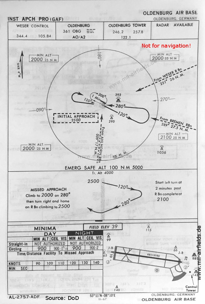
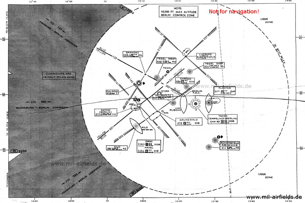
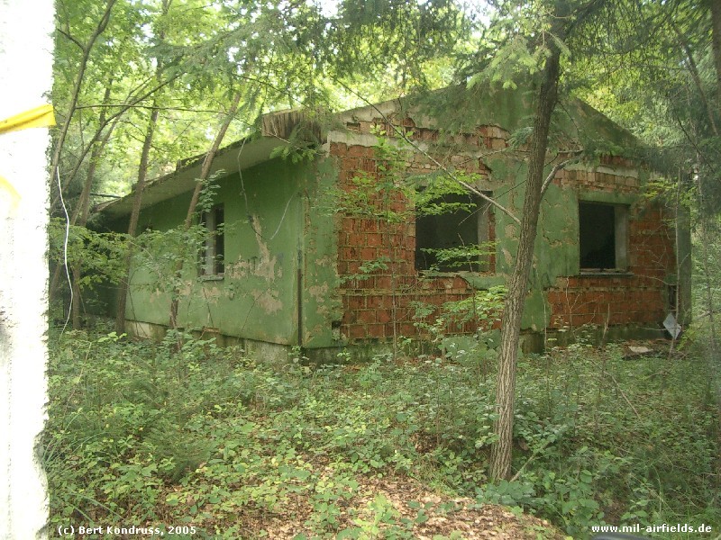
Image credits are shown on the respective target page, click on the preview to open it.
Navigation
Approach and airfield charts - Federal Republic of Germany