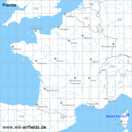
Bastia Poretta Airport
Historical approach and aerodrome charts
Aéroport de Bastia Poretta
For historical information only, do not use for navigation or aviation purposes!
| Coordinates | N423310 E0092902 (WGS84) Google Maps |
| Region | Corsica |
| Location indicator | LFKB |

In the 1950s
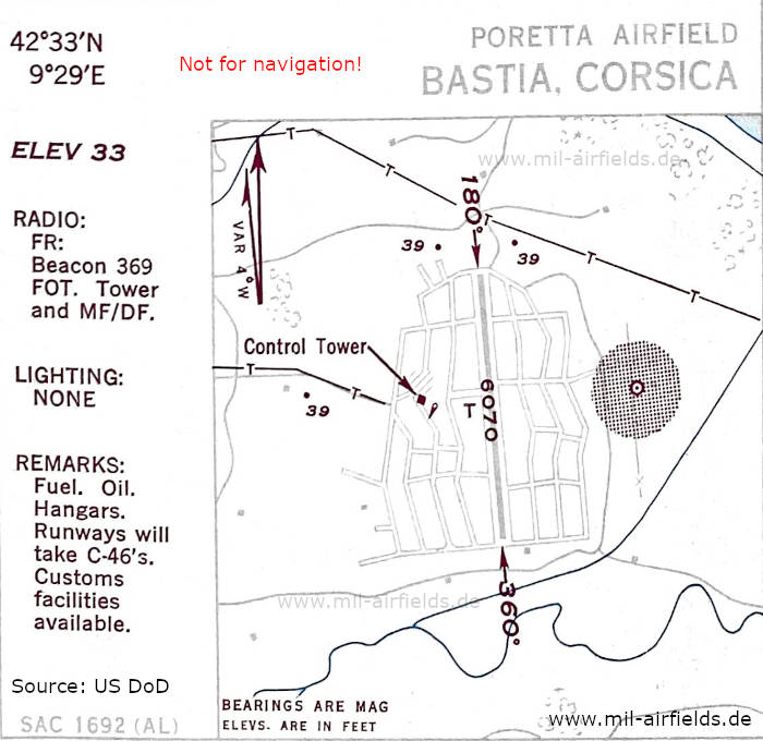
Aerodrome chart (October 1950) - There is one runway - 180/360: length 1850 m (6070 feet). (Source: US DoD)
Index to the objects shown on the maps
Radio beacons / Radiophares aéronautiques:
- Bastia Radio Beacon "FOT"
Source for all maps, if not marked otherwise: US Department of Defense (US DoD)
Recommended

Image credits are shown on the respective target page, click on the preview to open it.