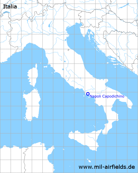
Naples Capodichino Airport
Aeroporto di Napoli-Capodichino
Historical approach and aerodrome charts
Aeroporto di Napoli-Capodichino: Carte di avvicinamento
For historical information only, do not use for navigation or aviation purposes!
| Coordinates | N405310 E0141728 (WGS84) Google Maps |
| Location indicator | LIRN |
In the 1950s

Range approach runway 24 (September 1953) - The map also shows the former airfields of Marcianise and Pomigliano D'Arco. The Range beacon with the identifier "LC" is located north, between Capodichino and the Marcianise airfield. The guiding beam 195° and therefore the approach direction is crosswise to the runway. (Source: US DoD)

Airport map (September 1953) - Runway 06/24 is 2,160 m (7,087 feet) long. The US Navy (USN) operates an ground-controlled approach radar (GCA) on the airfield. (Source: US DoD)
In the 1970s

Satellite image from 29 December 1975 - The image is from a US reconnaissance satellite and was previously subject to high levels of secrecy. (Source: U.S. Geological Survey)
Index to the objects shown on the maps
Aerodromes / Aeroporti:
- Marcianise
- Pomigliano D'Arco
Radio beacons with their identifiers / Radiofaro:
- Capodichino NDB "ILD"
- Napoli Range "LC"
Air traffic control / Controllo del traffico aereo / Communications:
- Naples Tower
Landmarks and places:
- Afragola, Arzano, Aversa, Caivano, Capua, Casavatore, Casoria, Frattamaggiore, Fuorigrotta, Golfo di Napoli, Guigliano, Merano di Napoli, Mt. Vesuvio (Vesuv), Neapel, Nola, Palma, Poggiomarino, Pozzuoli, Qualiano, San Giuseppe, San Maria la Fossa, San Pietro, Secondigliano, Torre del Greco, Volturno
Source for all maps, if not marked otherwise: US Department of Defense (US DoD)
Recommended
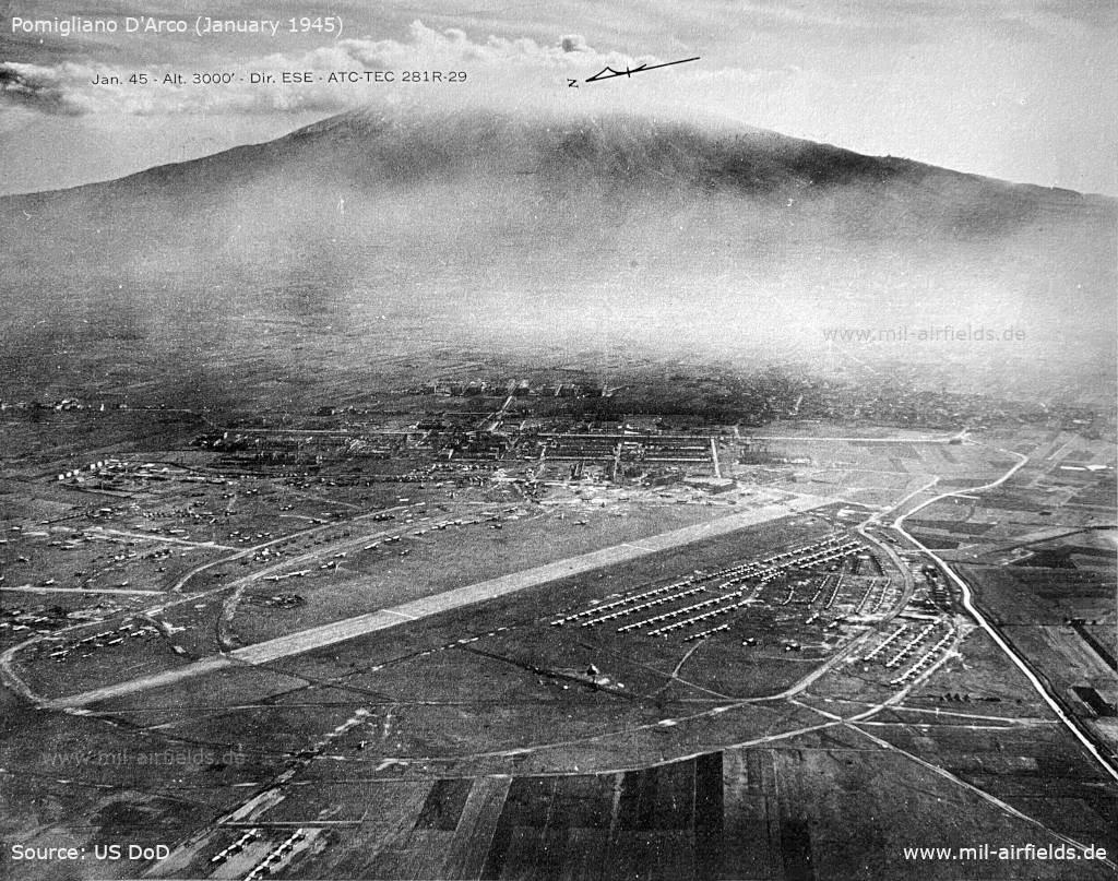

Image credits are shown on the respective target page, click on the preview to open it.