Pomigliano d’Arco Airfield
Historical approach and aerodrome charts
Aeroporto di Pomigliano d'Arco
For historical information only, do not use for navigation or aviation purposes!
| Coordinates | N405534 E0142329 (WGS84) Google Maps |
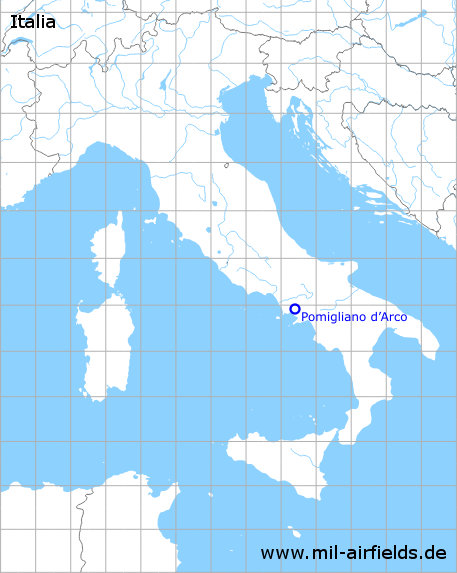
| Region | Naples (Napoli) |
| Operator | Royal Air Force (RAF), Alfa Romeo, Aerfer |
In the 1940s
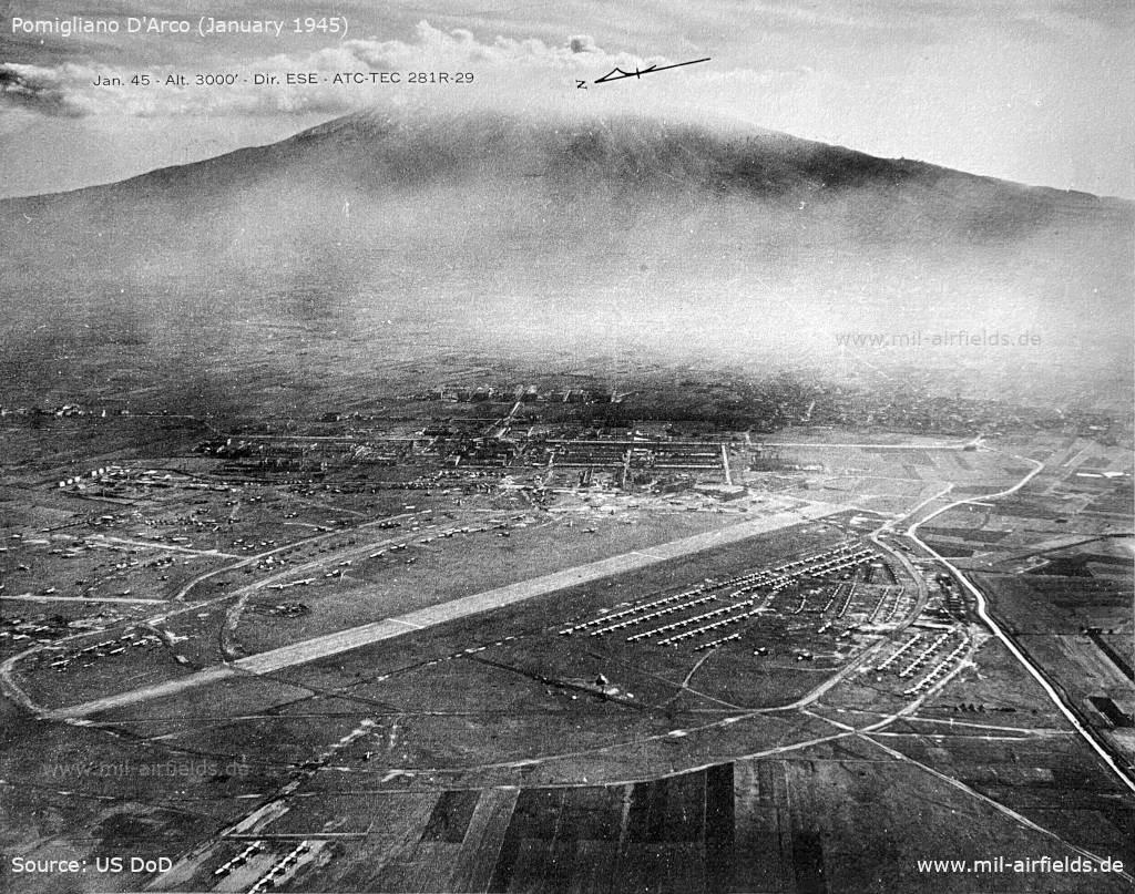
Aerial image from January 1945 - Viewing direction is about southeast. In the background you can see the volcano Vesuvius. (Source: US DoD)
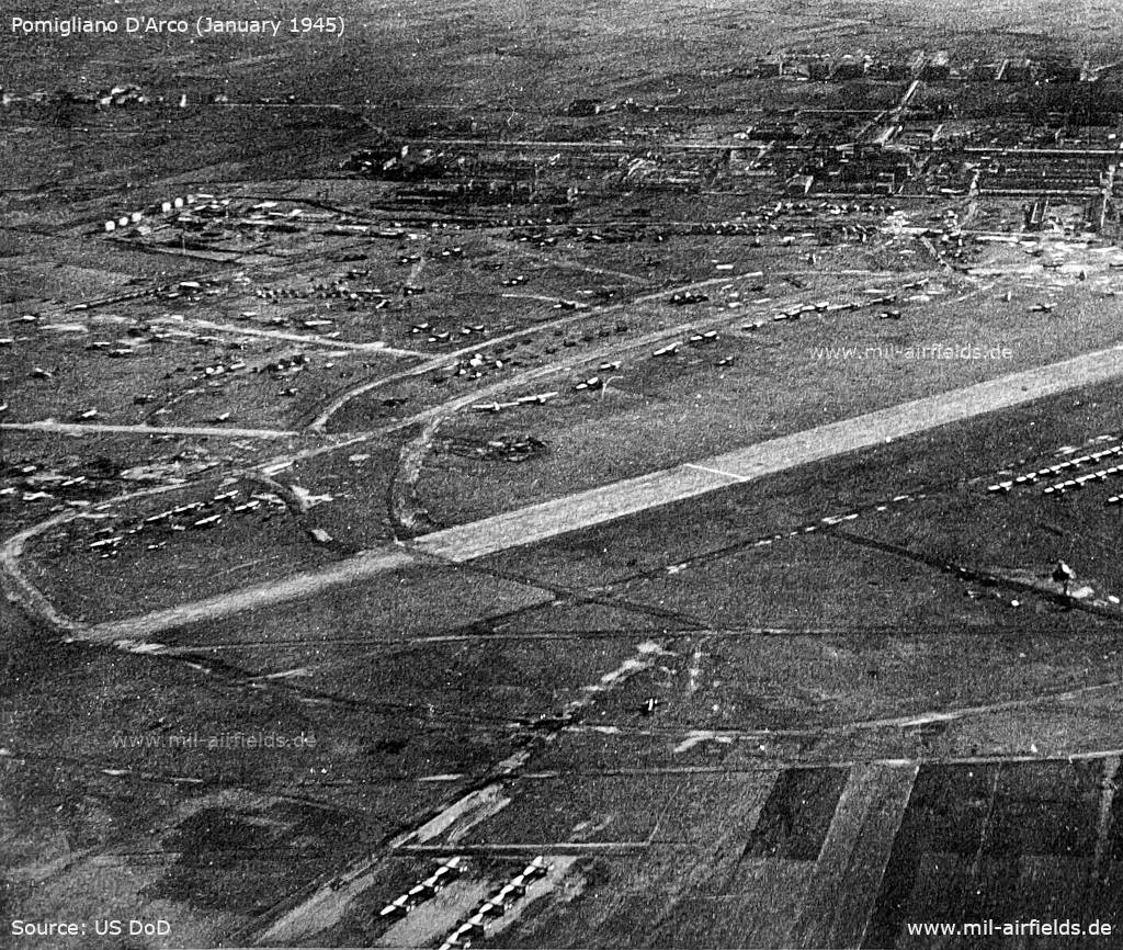
Enlargement: Northern part (Source: US DoD)
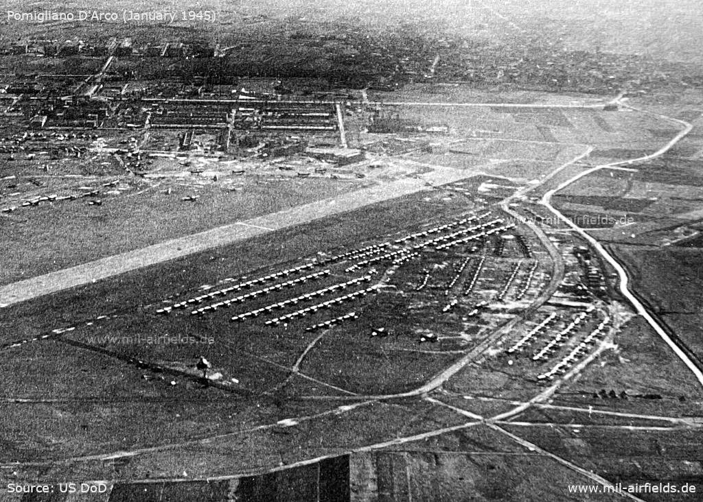
Enlargement: Southern part with planes (Source: US DoD)
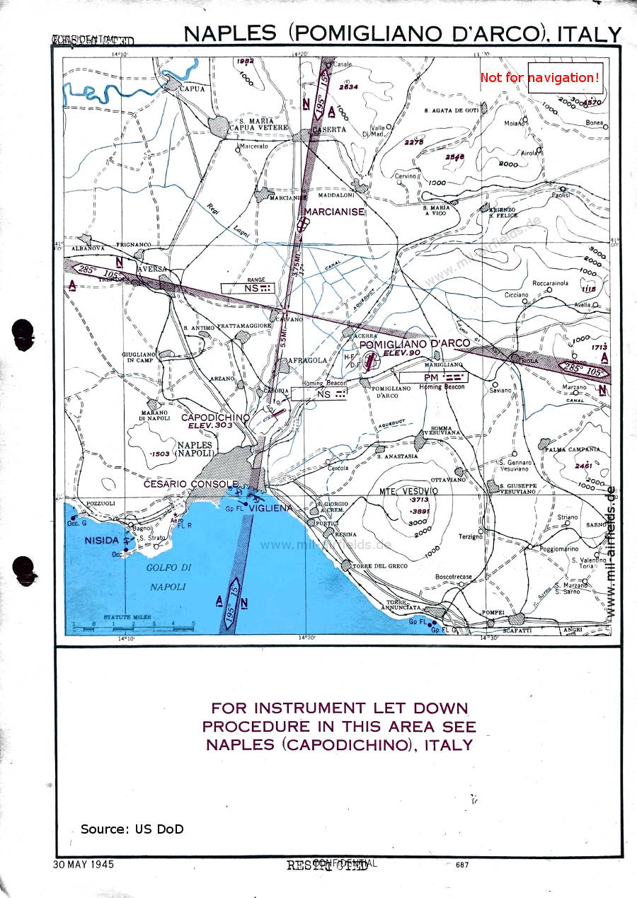
Map from 30 May 1945 - The map shows the area around the airfield. There is a short wave direction finder (HF DF) at the airfield. Also shown are the airfields Marcianise, Naples Capodichino and the seaplane bases Naples Cesario Console, Naples Vigliena and Nisida. The map was initially classified as "Confidential" and was then downgraded to "Restricted". (Source: US DoD)
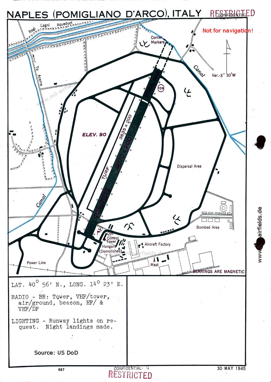
Airfield 30 May 1945 - There are two runways - Concrete: length 1484 m, width 61 m (4870 feet x 200 feet), Turf: length 1108 m, width 61 m (3635 feet x 200 feet). At the northern end of the runway there is a circle with the letters "POM". At this time, air traffic control is provided by the Royal Air Force. The call signs are PX8 and POMMY (not shown on this map). (Source: US DoD)
Index to the objects shown on the maps
Aerodromes / Aeroporti:
- Marcianise, Neapel Capodichino, Neapel Cesario Console, Neapel Vigliena, Nisida.
Radio beacons with identifier / Radiofaro:
- Naples Range "NS", Beacon "NS"
- Pomigliano Beacon "PM"
Air traffic control / Controllo del traffico aereo / Communications:
- Tower: PX8, POMMY
Source for all maps, if not marked otherwise: US Department of Defense (US DoD)
Recommended


Image credits are shown on the respective target page, click on the preview to open it.