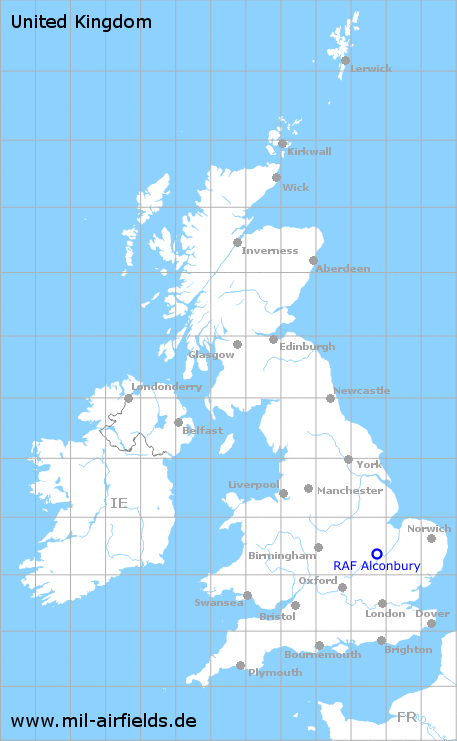
RAF Alconbury
Historical approach and aerodrome charts / Airfield history
For historical information only, do not use for navigation or aviation purposes!
| Coordinates | N522230 W0001317 (WGS84) Google Maps |
| Region | Cambridgeshire |
| Location indicator | EGWZ |
| Operator | US Air Force (USAF) |
In the 1960s
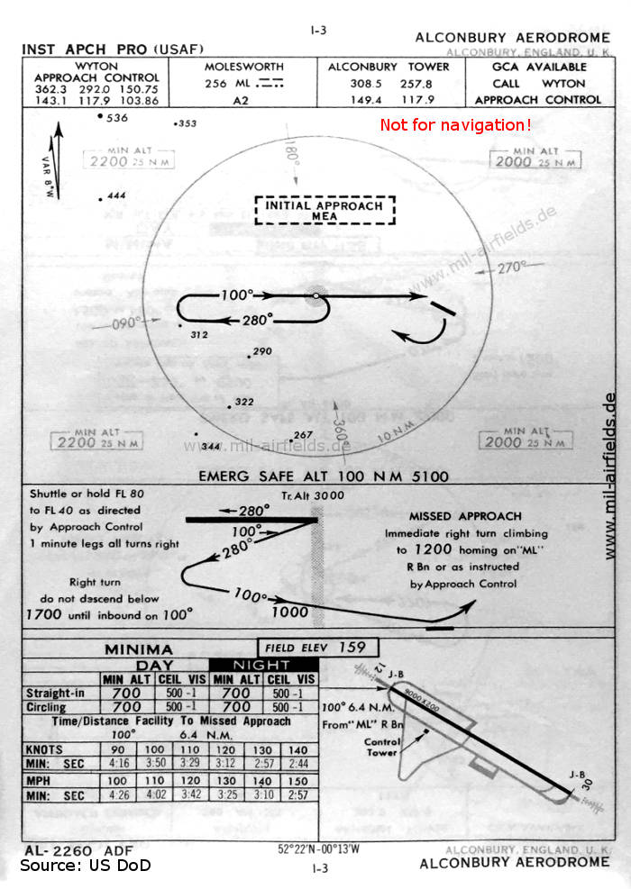
NDB approach map (October 1960) - The approach is done via the Molesworth NDB radio beacon in the west. (Source: US DoD)
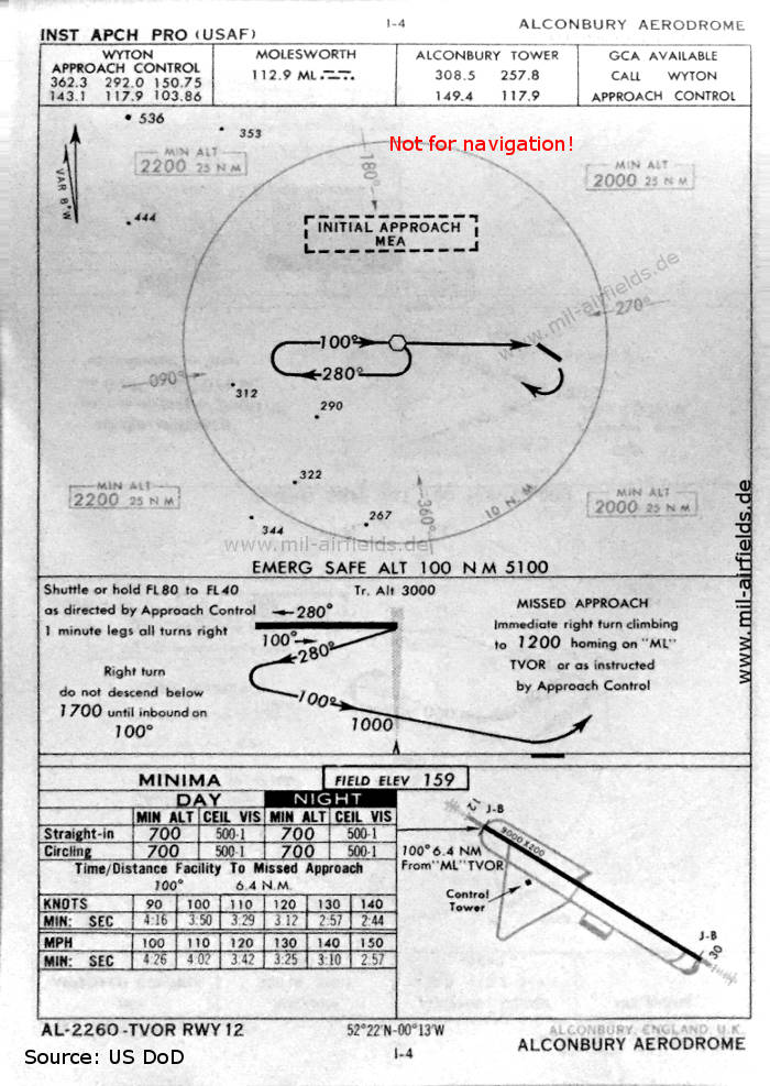
VOR approach map (October 1960) - The approach is done via the Molesworth VOR radio beacon in the west. (Source: US DoD)
In the 1990s
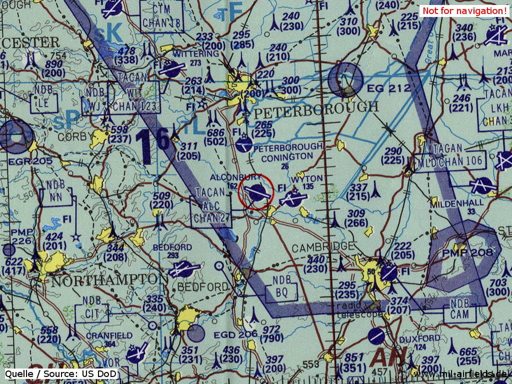
RAF Alconbury on a map of the US Department of Defense from 1993 (Source: ONC E-2 (1993), Perry-Castañeda Library Map Collection, University of Texas at Austin)
Index to the objects shown on the maps
Radio beacons:
- Molesworth NDB "ML", VOR "ML"
Air traffic control:
- Alconbury Tower
- Wyton Approach Control
Source for all maps, if not marked otherwise: US Department of Defense (US DoD)
Title image: Reconnaissance aircraft Lockheed TR-1 at RAF Alconbury on 01 February 1983. Source: US DoD / National Archives 6363587
Recommended
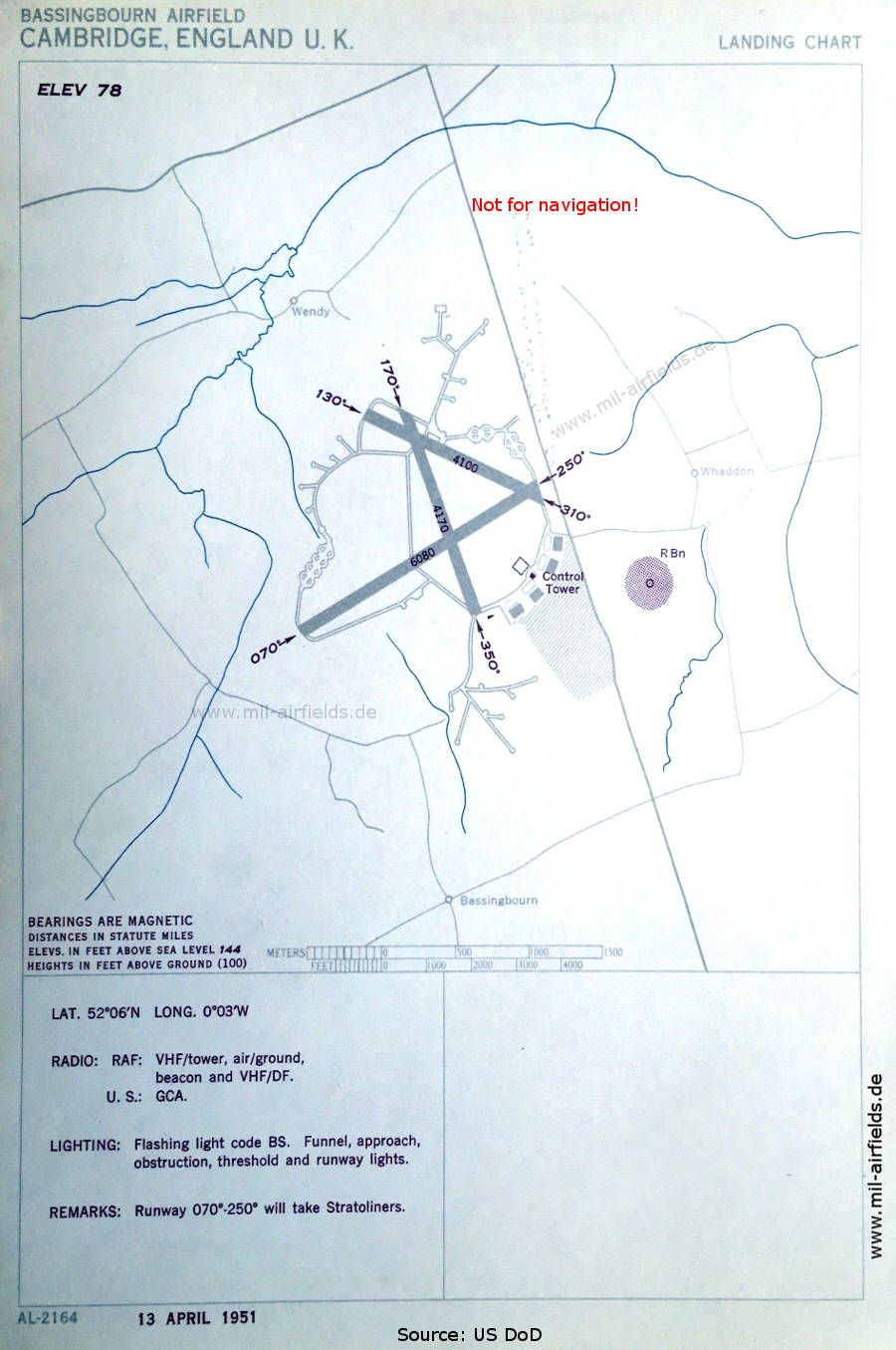
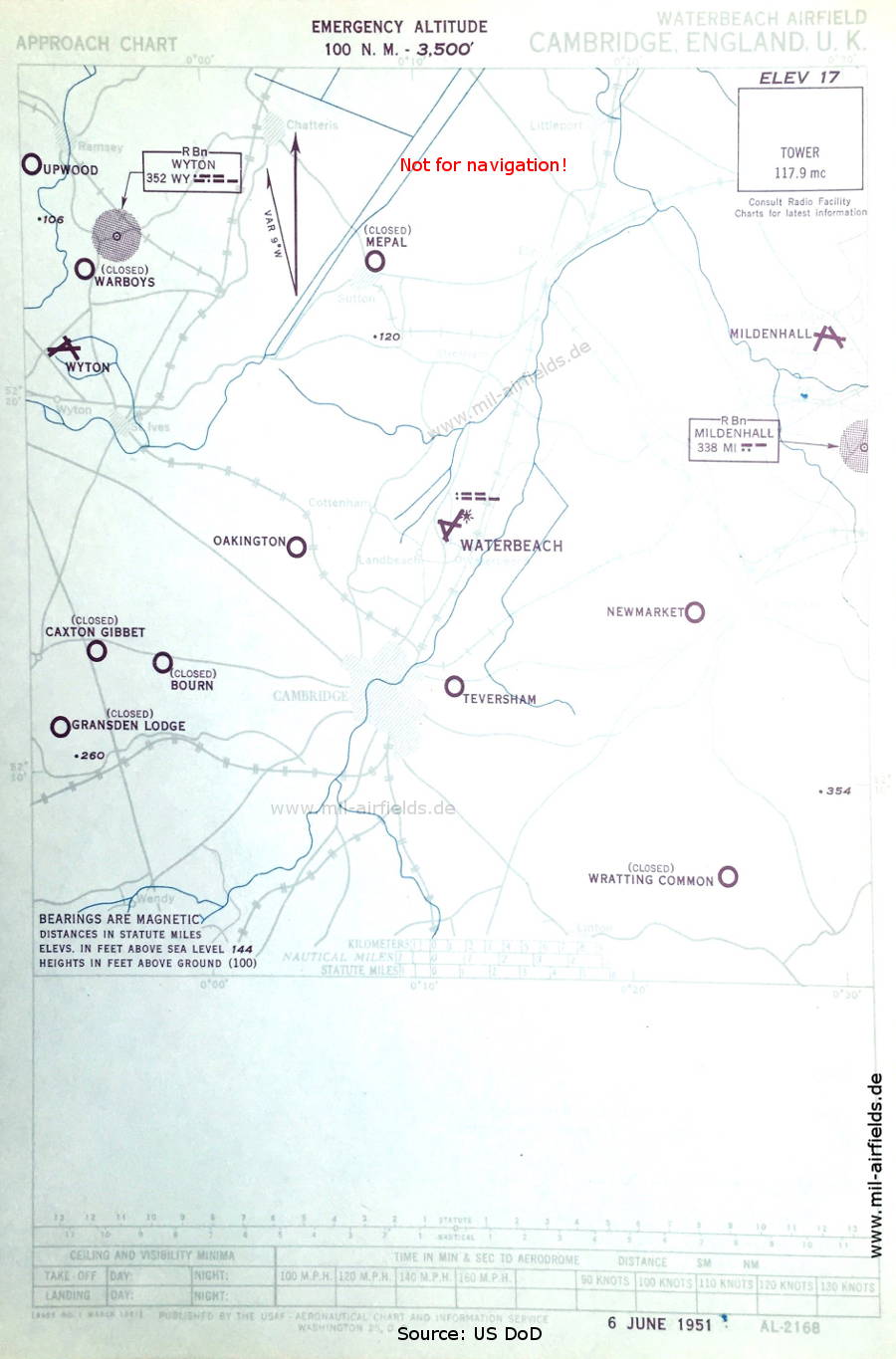

Image credits are shown on the respective target page, click on the preview to open it.
 mil-airfields.de at Facebook