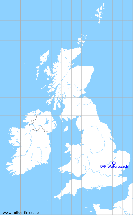
RAF Waterbeach
Historical approach and aerodrome charts for free download
For historical information only, do not use for navigation or aviation purposes!
| Coordinates | N521652 E0001102 (WGS84) Google Maps |
| Region | Cambridgeshire |
| Location indicator | MAXK, EGUK |
| Operator | Royal Air Force (RAF) |
In the 1950s
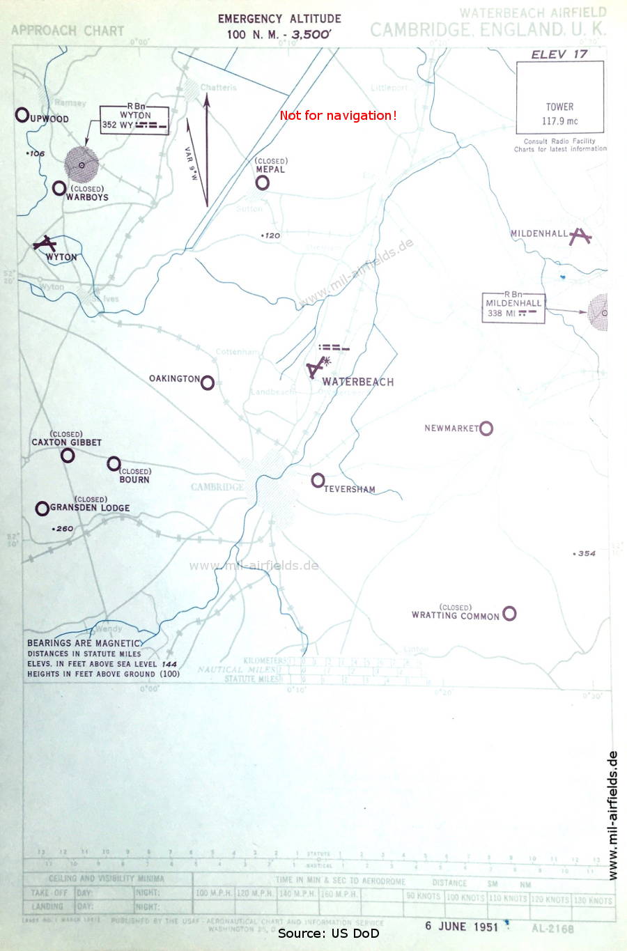
Approach chart (June 1951) - Airfields in the vicinity: Bourn, Caxton Gibbet, Gransden Lodge, Mepal, Mildenhall, Newmarket, Oakington, Taversham, Upwood, Warboys, Wratting Common, Wyton (Source: US DoD)
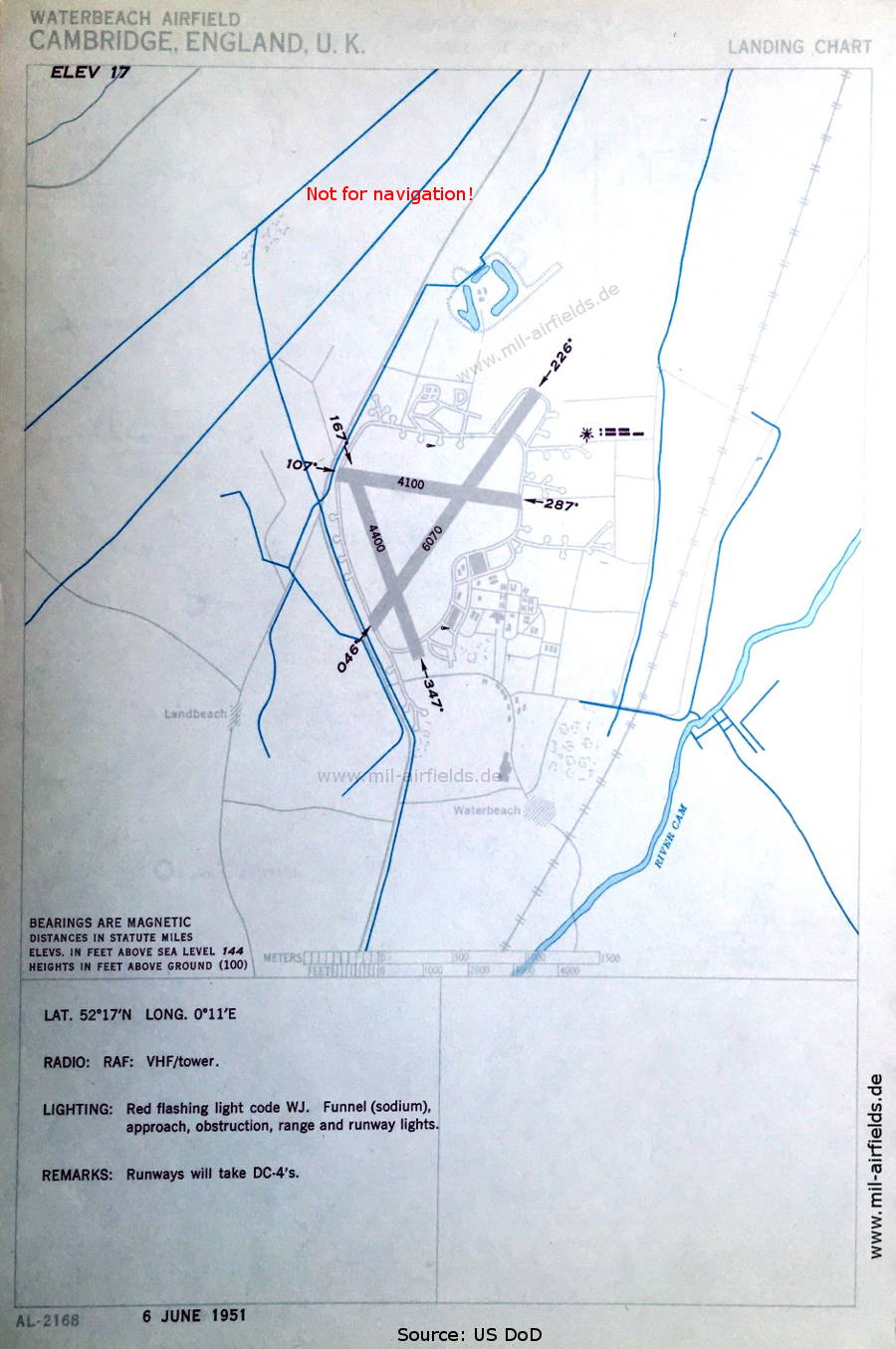
Aerodrome chart (June 1951) (Source: US DoD)
Index to the objects shown on the maps
Aerodromes:
- Bourn, Caxton Gibbet, Gransden Lodge, Mepal, Mildenhall, Newmarket, Oakington, Taversham, Upwood, Warboys, Wratting Common, Wyton
Radio beacons:
- Mildenhall NDB "MI"
- Wyton NDB "WY"
Air traffic control:
- Waterbeach Tower
Source for all maps, if not marked otherwise: US Department of Defense (US DoD)
Recommended
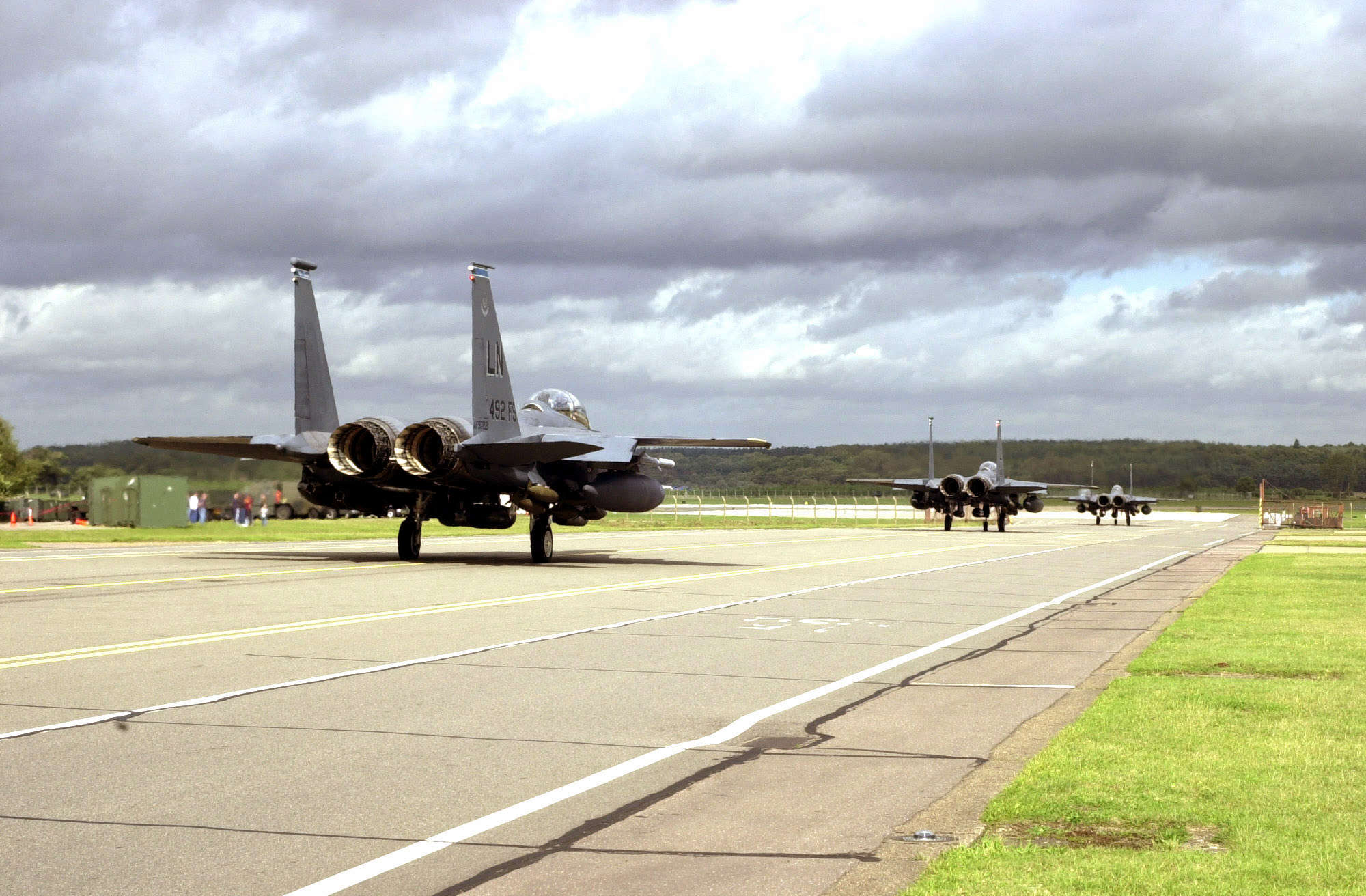

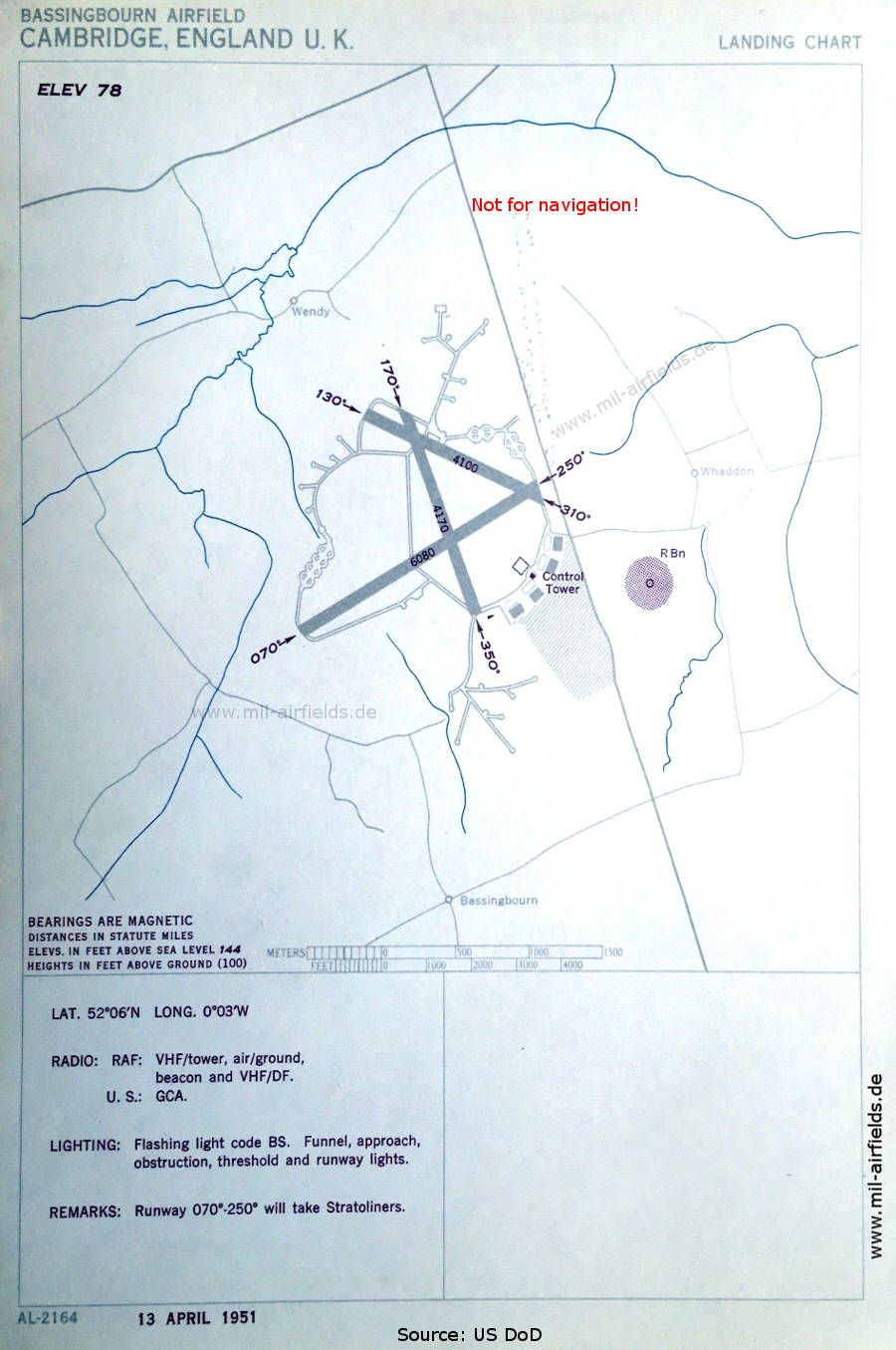

Image credits are shown on the respective target page, click on the preview to open it.
 mil-airfields.de at Facebook