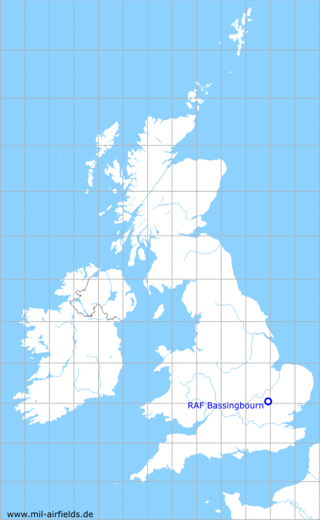
RAF Bassingbourn
RAF Bassingbourn
Historical approach and aerodrome charts
For historical information only, do not use for navigation or aviation purposes!
| Coordinates | N520548 W0000333 (WGS84) Google Maps |
| Region | Cambridgeshire |
| Location indicator | MAXJ, EGUJ |
| Operator | Royal Air Force (RAF), US Air Force (USAF) |
In the 1950s
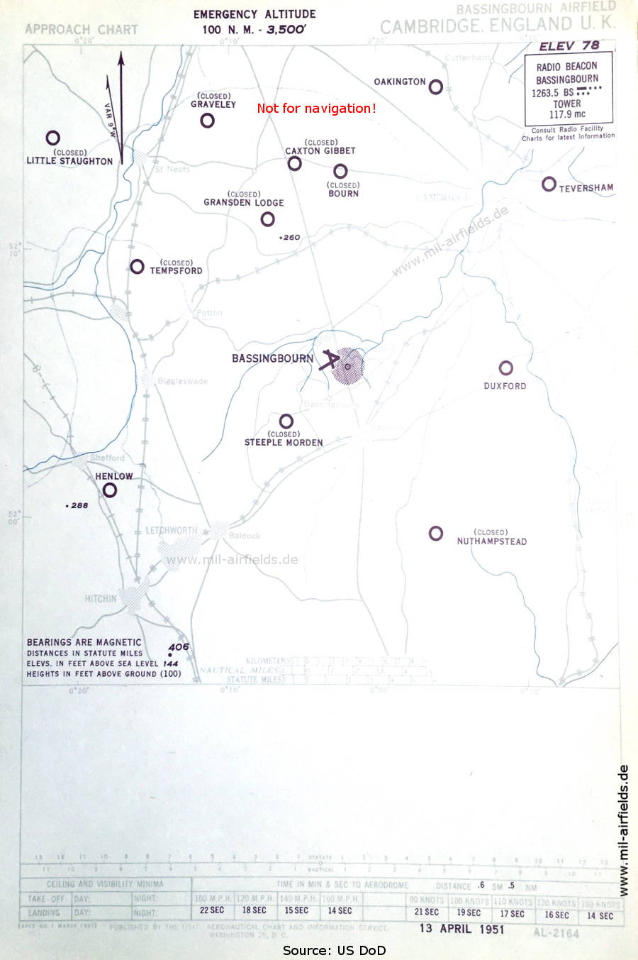
Approach chart (April 1951) - Airfields in the vicinity: Bourn, Caxton Gibbet, Duxford, Gransden Lodge, Graveley, Henlow, Little Staughton, Nuthampstead, Oakington, Steeple Morden, Taversham, Tempsforf. (Source: US DoD)
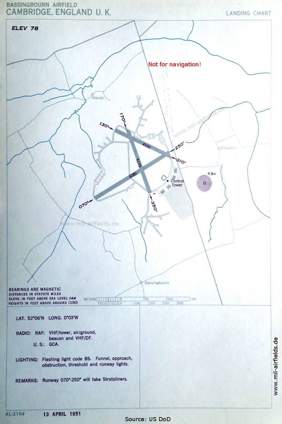
Airfield map (April 1951) - The airfield is operated by the Royal Air Force (RAF). However, US troops operate a GCA Radar (Ground Controlled Approach) There are three runways - 070/250: length 1853 m (6080 feet), 130/310: length 1250 m (4100 feet), 170/350: length 1271 m (4170 feet). (Source: US DoD)
Source for all maps, if not marked otherwise: US Department of Defense (US DoD)
Recommended

Image credits are shown on the respective target page, click on the preview to open it.
 mil-airfields.de at Facebook