RAF Binbrook
Historical approach and aerodrome charts / Airfield history
For historical information only, do not use for navigation or aviation purposes!
| Coordinates | N532705 W0001223 (WGS84) Google Maps |
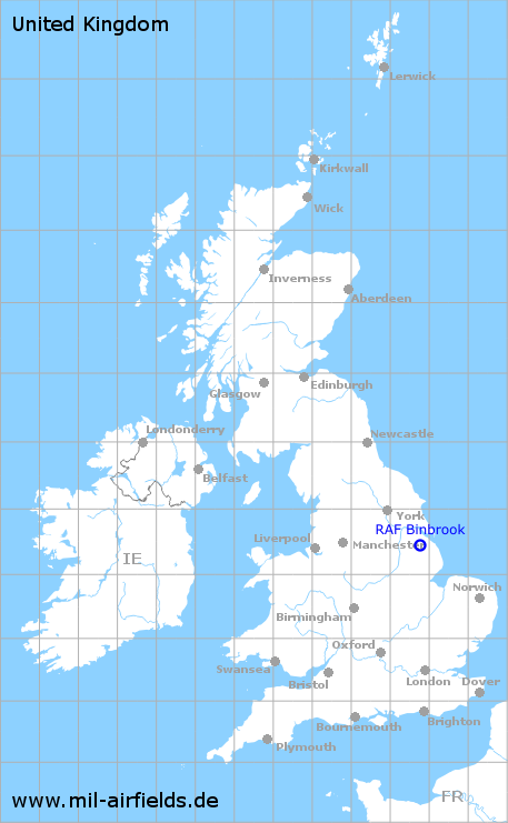
| Region | Lincolnshire, England |
| Location indicator | MWXB, EGXB |
| Operator | Royal Air Force (RAF) |
In the 1950s
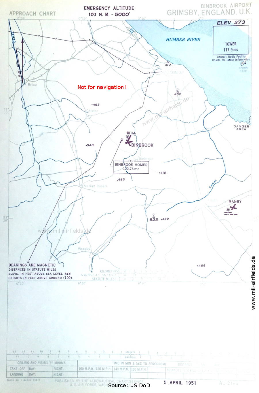
Approach chart (April 1951) (Source: US DoD)
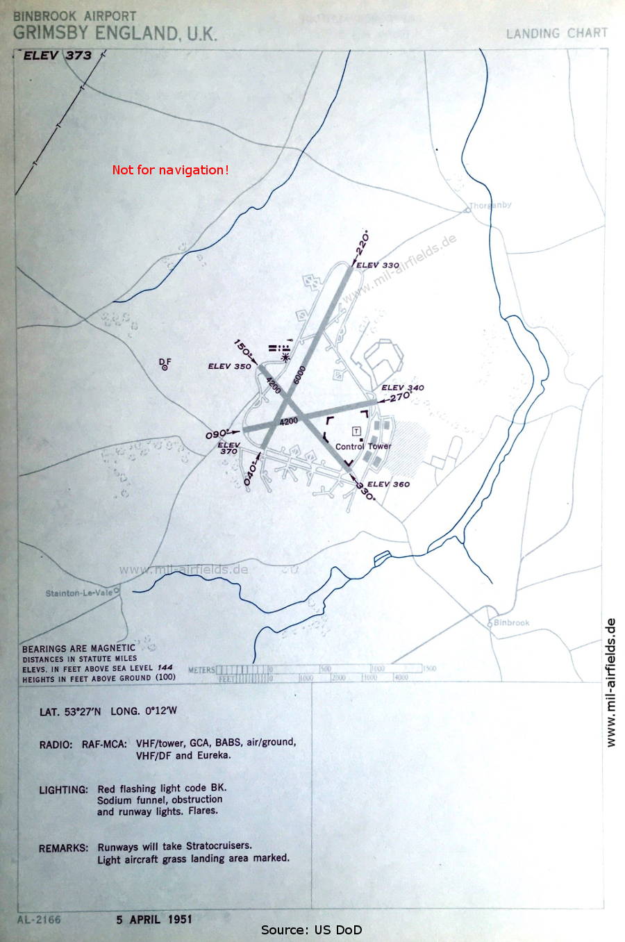
Aerodrome map (April 1951) - There are three runways - 040/220: length 1829 m (6000 feet), 090/270: length 1280 m (4200 feet), 150/330: length 1280 m (4200 feet). (Source: US DoD)
In the 1990s
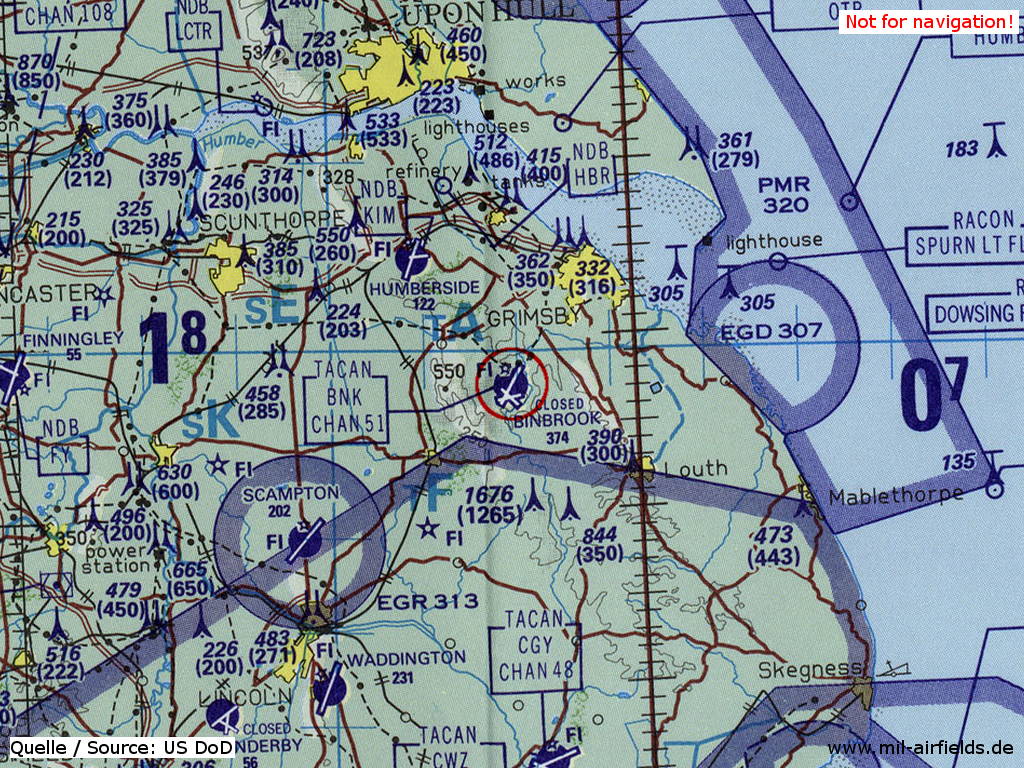
RAF Binbrook on a map of the US Department of Defense from 1993 - The field is marked as closed. (Source: ONC E-2 (1993), Perry-Castañeda Library Map Collection, University of Texas at Austin)
Index to the objects shown on the maps
Aerodromes:
- Binbrook
- Coningsby
- Finningley
- Humberside
- Manby
- Scampton, Swinderby
- Waddington
Airspace:
- EG(D) 307
- EG(R) 313
- Lincolnshire MTA
- PMR 320
Radio beacons:
- Binbrook TACAN "BNK"
- Coningsby TACAN "CGY"
- Finningley NDB "FY"
- Humberside NDB "HBR"
- Ottringham NDB "OTR", VORDME "OTR"
Source for all maps, if not marked otherwise: US Department of Defense (US DoD)
Recommended

Image credits are shown on the respective target page, click on the preview to open it.
 mil-airfields.de at Facebook