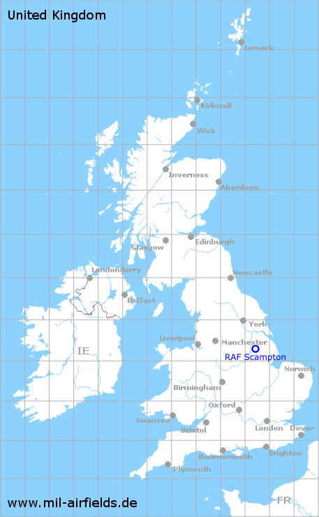
RAF Scampton
Historical approach and aerodrome charts / Airfield history
For historical information only, do not use for navigation or aviation purposes!
| Coordinates | N531827 W0003305 (WGS84) Google Maps |
| Region | Lincolnshire, England |
| Location indicator | MWXP, EGXP |
| Operator | Royal Air Force (RAF) |
In the 1960s
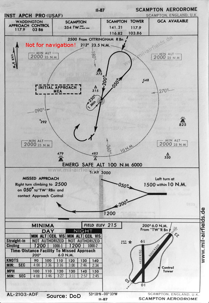
NDB approach map runway 23 (October 1960) - There are two runways - 01/19: length 1413 m, width 46 m (4635 feet x 150 feet), 05/23: length 2743 m, width 61 m (9000 feet x 200 feet). (Source: DoD)
In the 1990s
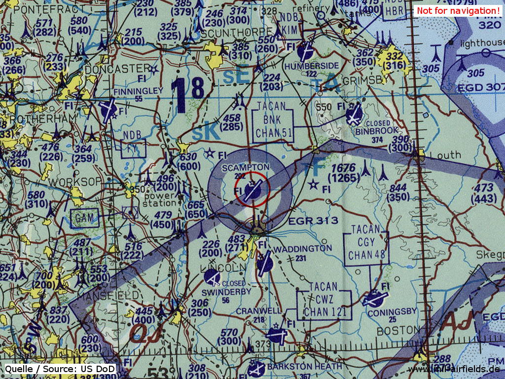
RAF Scampton on a map of the US Department of Defense from 1993 (Source: ONC E-2 (1993), Perry-Castañeda Library Map Collection, University of Texas at Austin)
Source for all maps, if not marked otherwise: US Department of Defense (US DoD)
Recommended
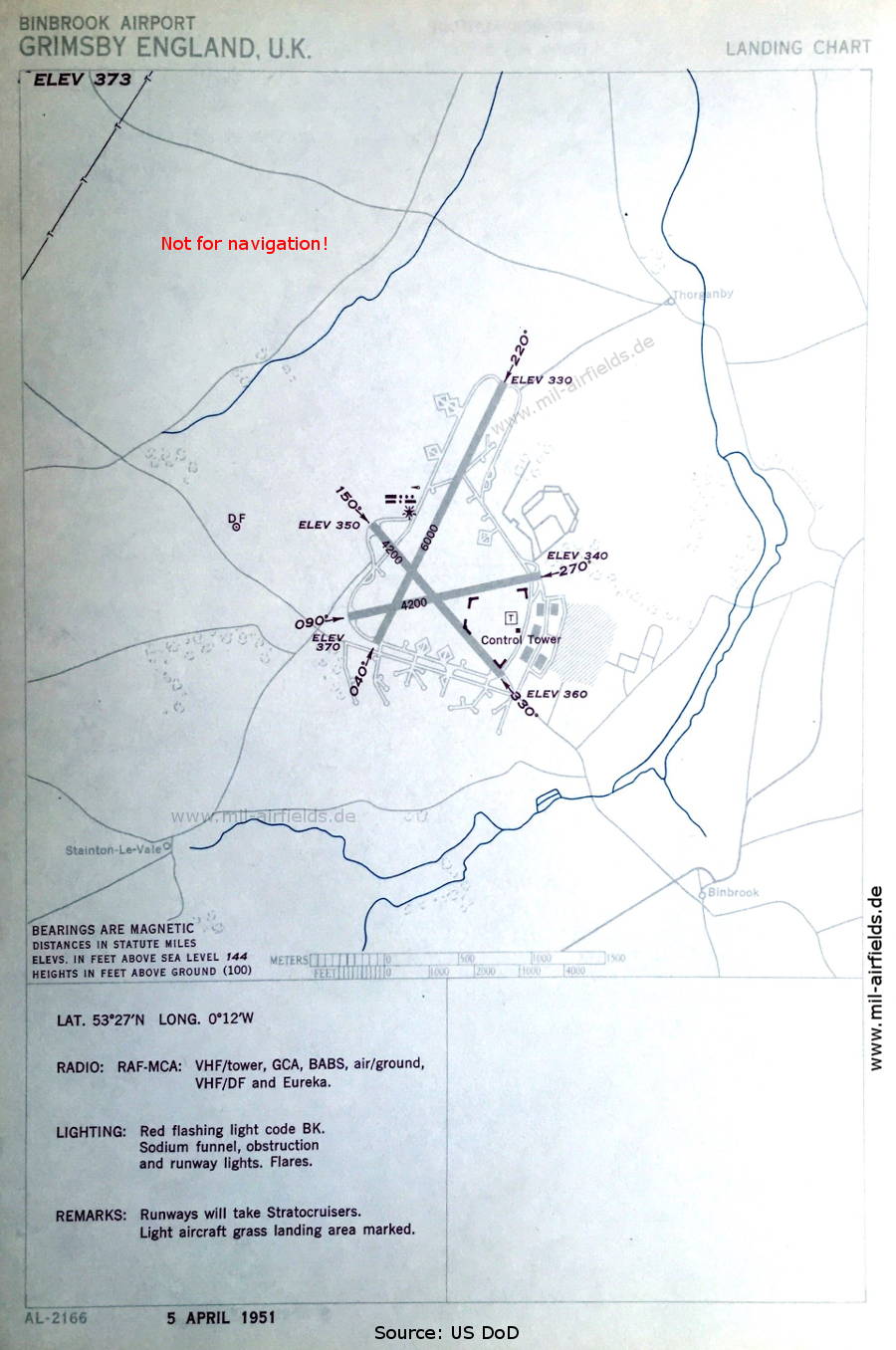
Image credits are shown on the respective target page, click on the preview to open it.
 mil-airfields.de at Facebook