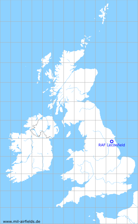
RAF Leconfield
Historical approach and aerodrome charts for free download
For historical information only, do not use for navigation or aviation purposes!
| Coordinates | N535237 W0002608 (WGS84) Google Maps |
| Region | East Riding of Yorkshire, Beverley |
| Location indicator | MWXL, EGXV |
| Operator | Royal Air Force (RAF) |

In the 1960s
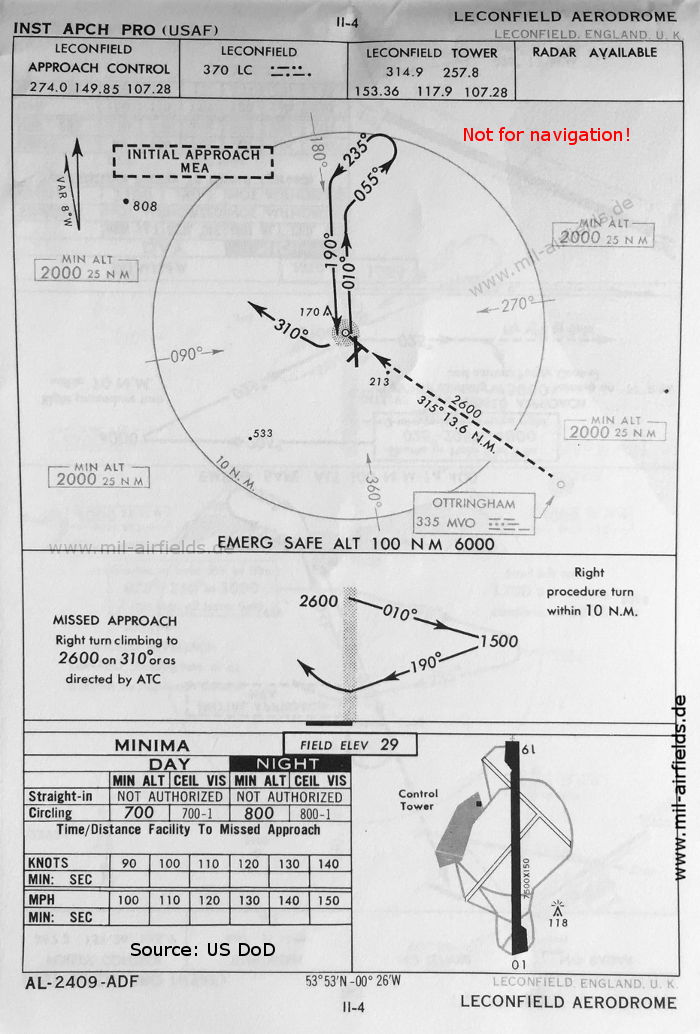
NDB approach runway 19 (October 1960) - Runway 01/19 measures 2286 m x 46 m (7500 feet x 150 feet). (Source: US DoD)
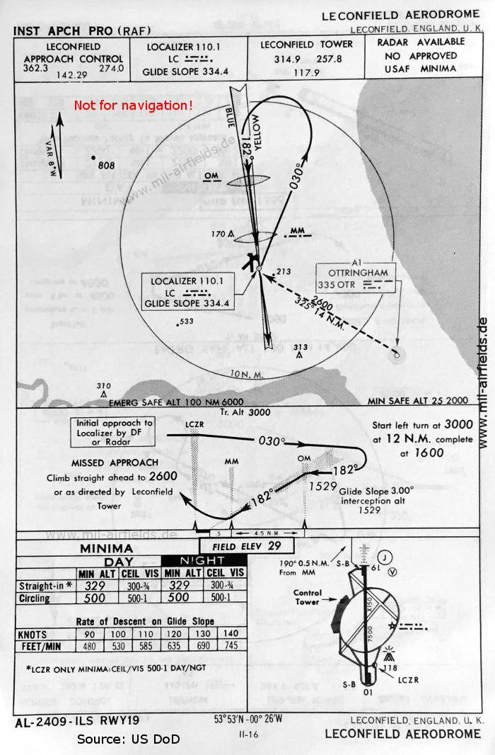
ILS approach runway 19 (May 1966) - Like at many RAF airfields, the ILS landing course at Leconfield has an offset to the extended runway centerline. (Source: US DoD)
Index to the objects shown on the maps
Radio beacons:
- Leconfield NDB "LC", ILS "LC", Outer Marker, Middle Marker
- Ottringham NDB "MVO", "OTR"
Air traffic control:
- Leconfield Approach Control, Leconfield Tower
Source for all maps, if not marked otherwise: US Department of Defense (US DoD)
Recommended
Image credits are shown on the respective target page, click on the preview to open it.
 mil-airfields.de at Facebook