RAF Hendon
RAF Hendon
Historical approach and aerodrome charts for free download
For historical information only, do not use for navigation or aviation purposes!
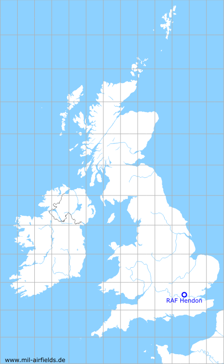
| Coordinates | N513603 W0001442 (WGS84) Google Maps |
| Location indicator | MAXH |
In the 1950s
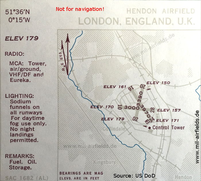
Airfield (October 1950) (Source: US DoD)
Source for all maps, if not marked otherwise: US Department of Defense (US DoD)
Recommended
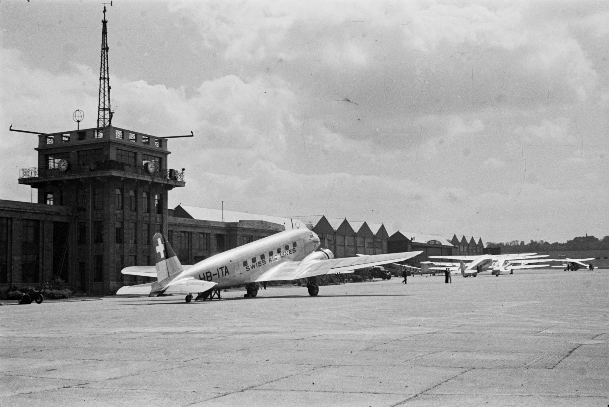

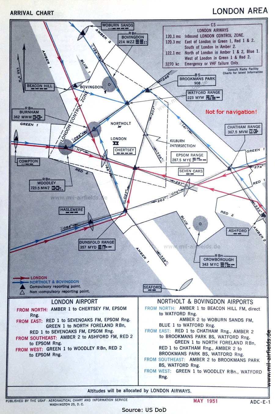

Image credits are shown on the respective target page, click on the preview to open it.
 mil-airfields.de at Facebook