For historical information only, do not use for navigation or aviation purposes!
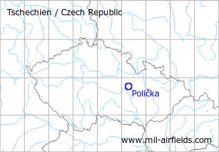
| Coordinates | N494425 E0161525 (WGS84) Google Maps |
| Location indicator | LKPA |
The history of the Cold War airfields: Polička
During the Cold War
Use
Usage not known, possibly reserve airfield.
Situation
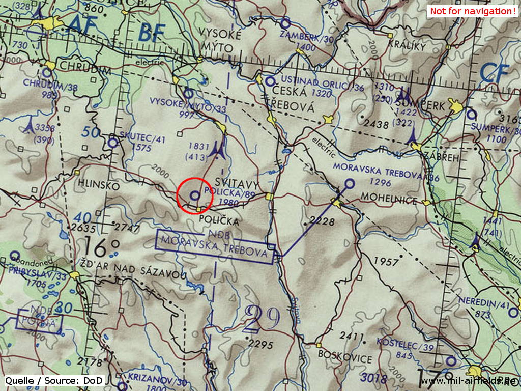
Polička Airfield on a map of the US Department of Defense from 1973
Source: ONC E-3 (1973), Perry-Castañeda Library Map Collection, University of Texas at Austin
Overview
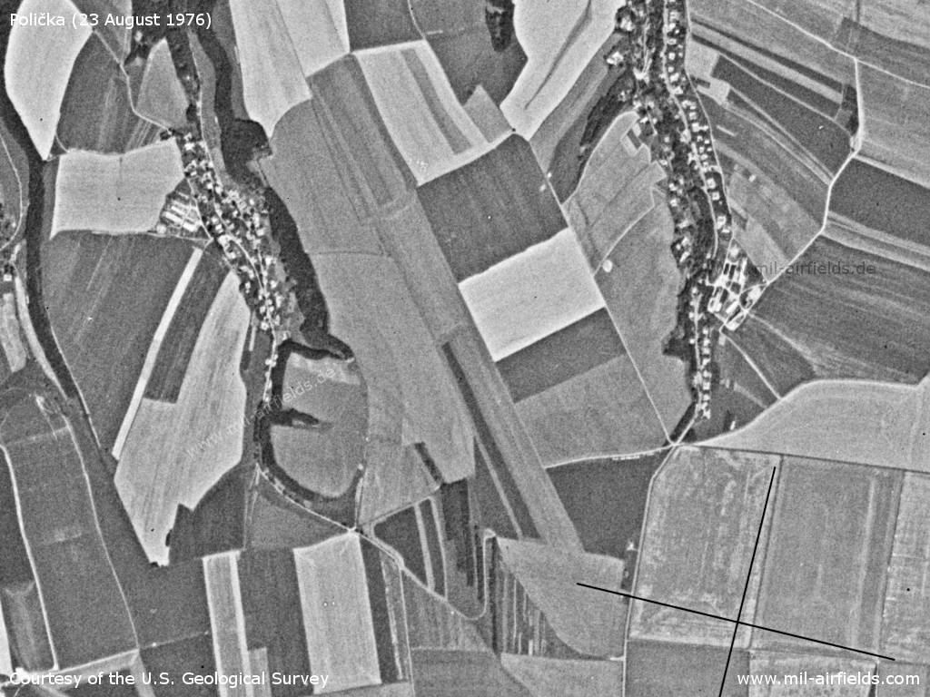
Polička Airfield on a US satellite image from 23 August 1976
Source: U.S. Geological Survey
Today
Use
General aviation airfield.
Links
- https://www.lkpa.cz/ - Aeroklub Polička
Airfields in the vicinity
- 210°/46km Měřín: Highway Strip (Merin)
- 309°/48km Pardubice: Air Base (Letiště Pardubice)
 Follow mil-airfields on Facebook