For historical information only, do not use for navigation or aviation purposes!
| Coordinates | N492257 E0155602 (WGS84) Google Maps |
| Elevation | 1675' |
| Airfield Id | Punkt 153 |
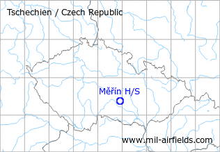
The history of the Cold War airfields: Měřín
During the Cold War
Use
Highway strip.
Runways
Data for the year 1990:
- 12/30: 2500 m
Radio communication
Call sign "DOPIS" (198x).
According to western signals intelligence (SIGINT), the airfield was also called "Navigacni Punkt 153" by the Czechoslovak Air Force.
Today
Use
Closed.
Images
The following pictures were taken in December 2008.
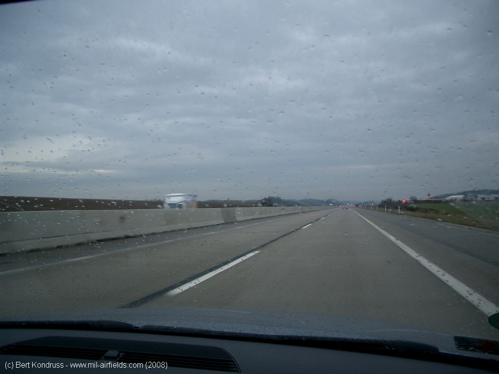
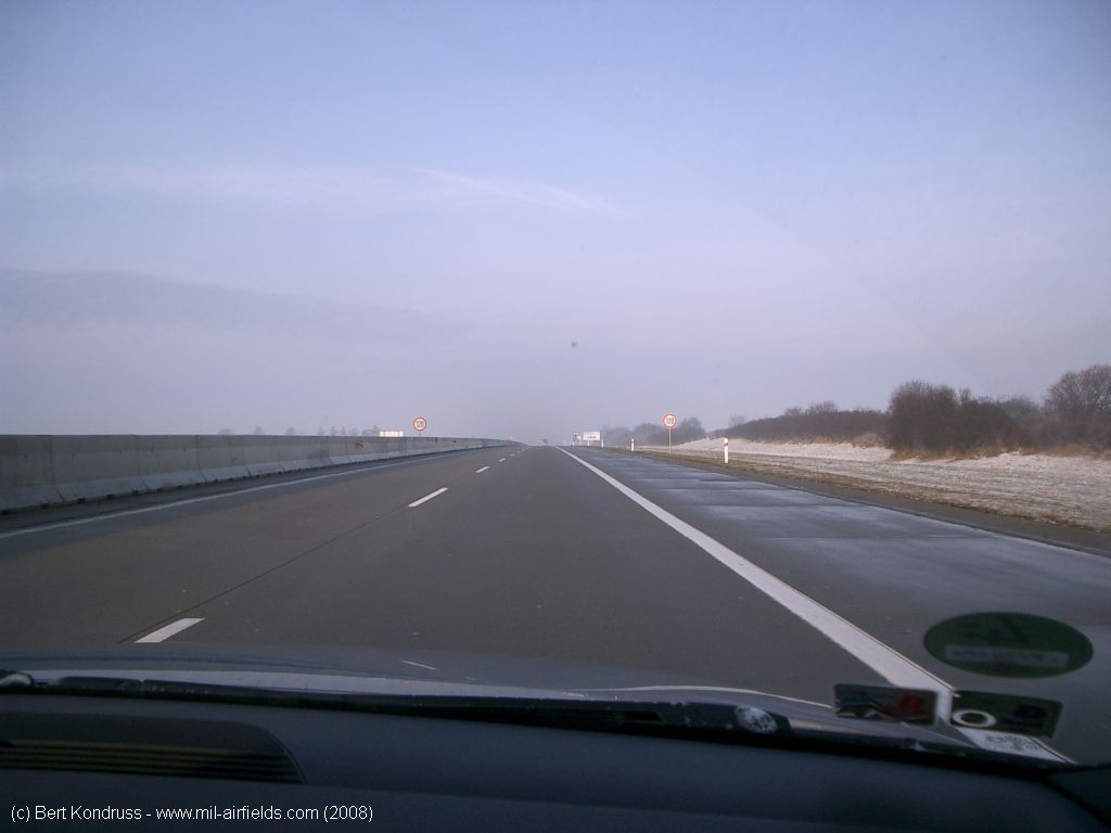
D1, southern lane, heading southeast to Brno
View from the southeastern service station in northwest direction
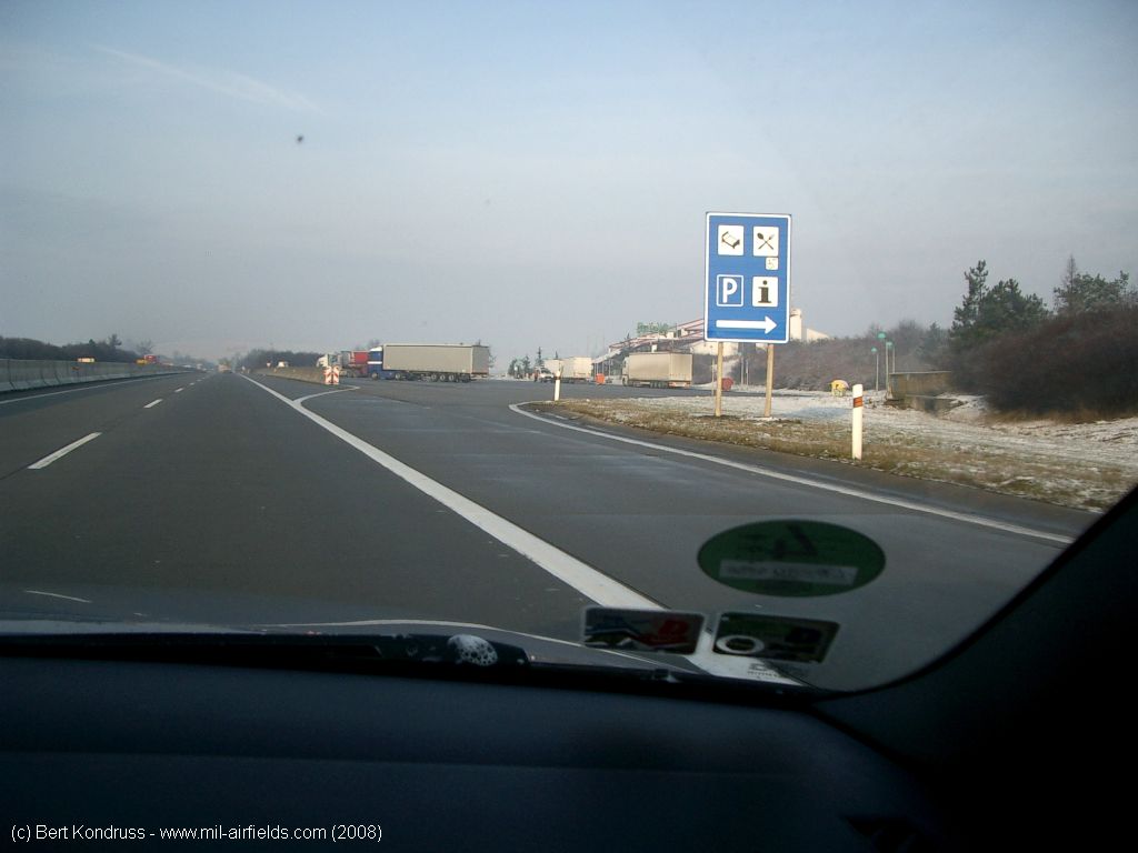
View to the southeast, southern lane in direction of Brno and southeast service station
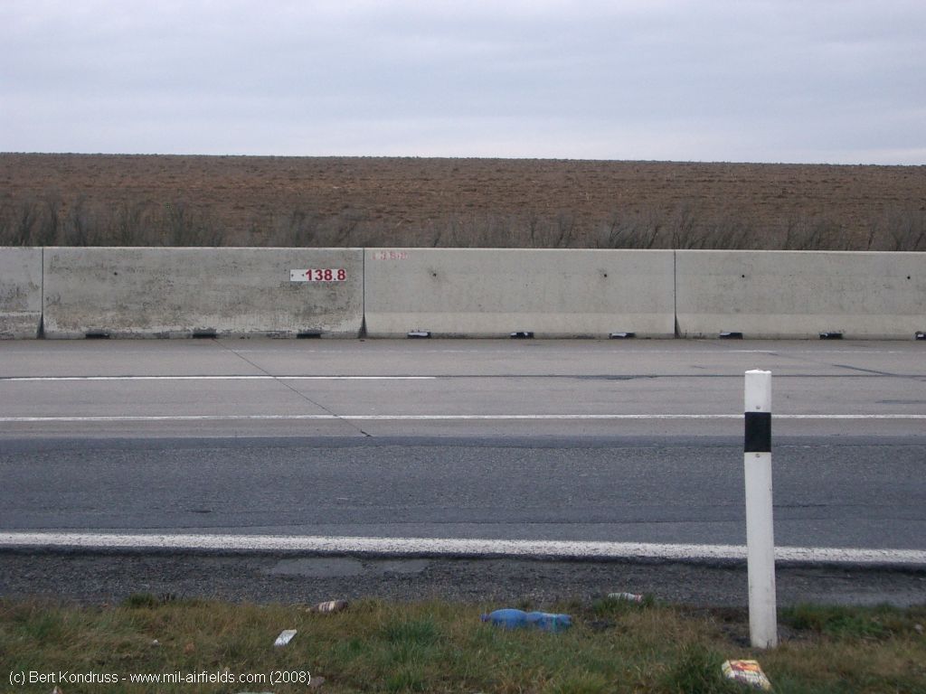
Central reservation with concrete slabs
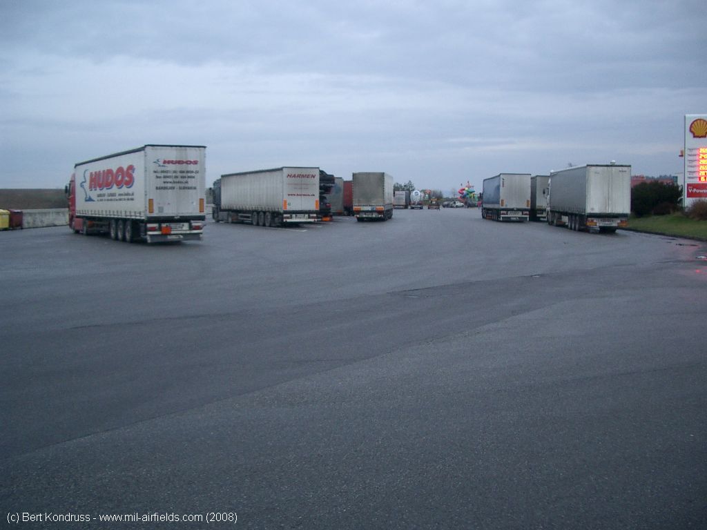
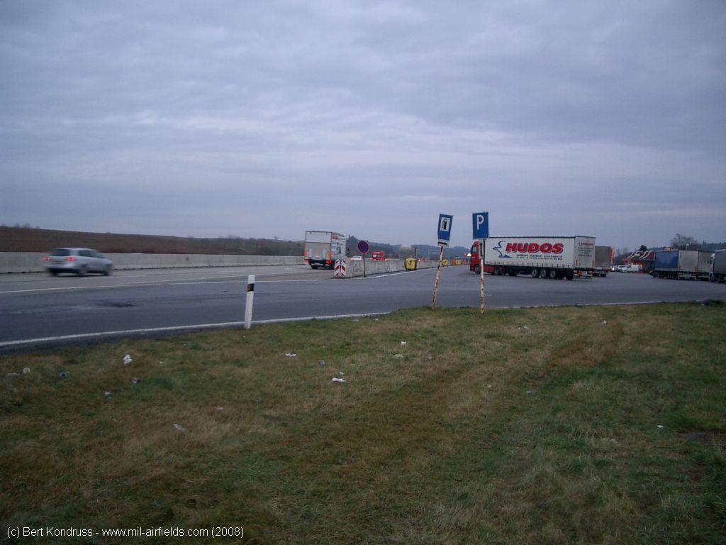
Southeastern service station
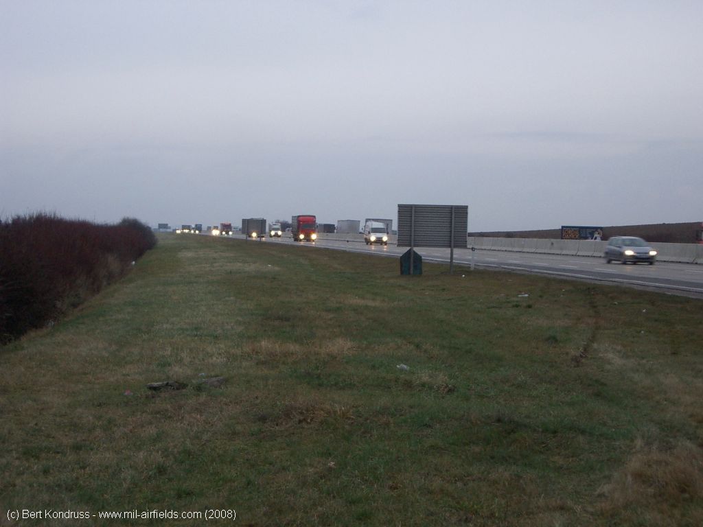
D1, northern lane towards Prague, parking area in the southeast.
Parking area in the southeast.
Direction Prague
D1, northern lane, service station in the northwest
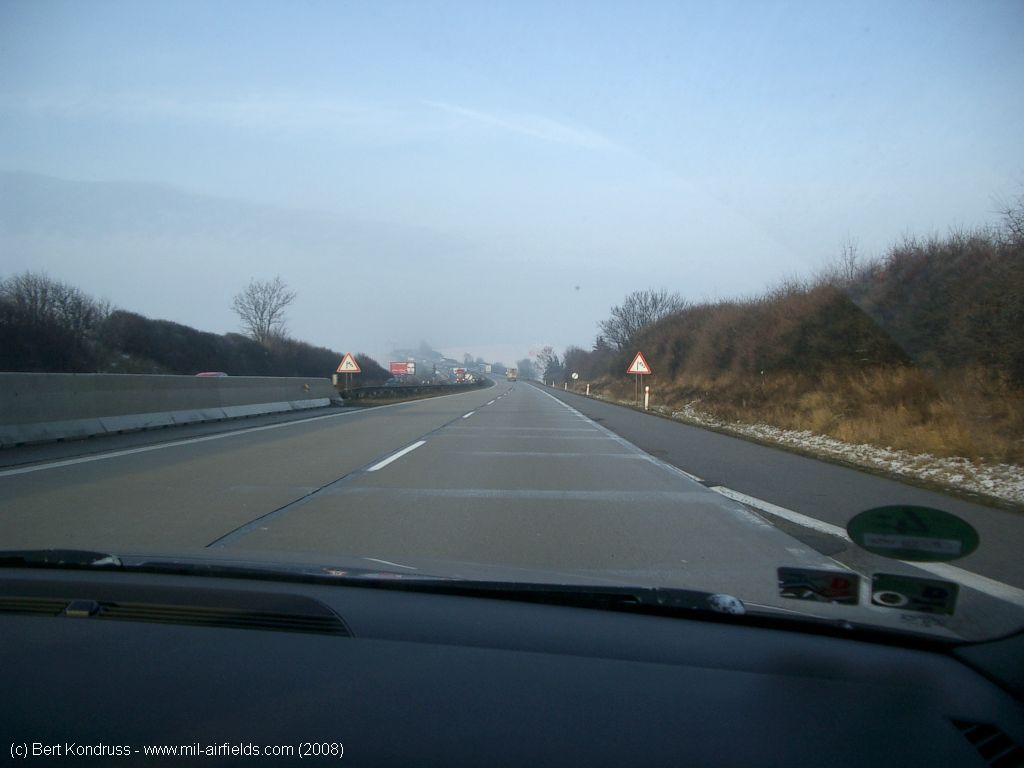
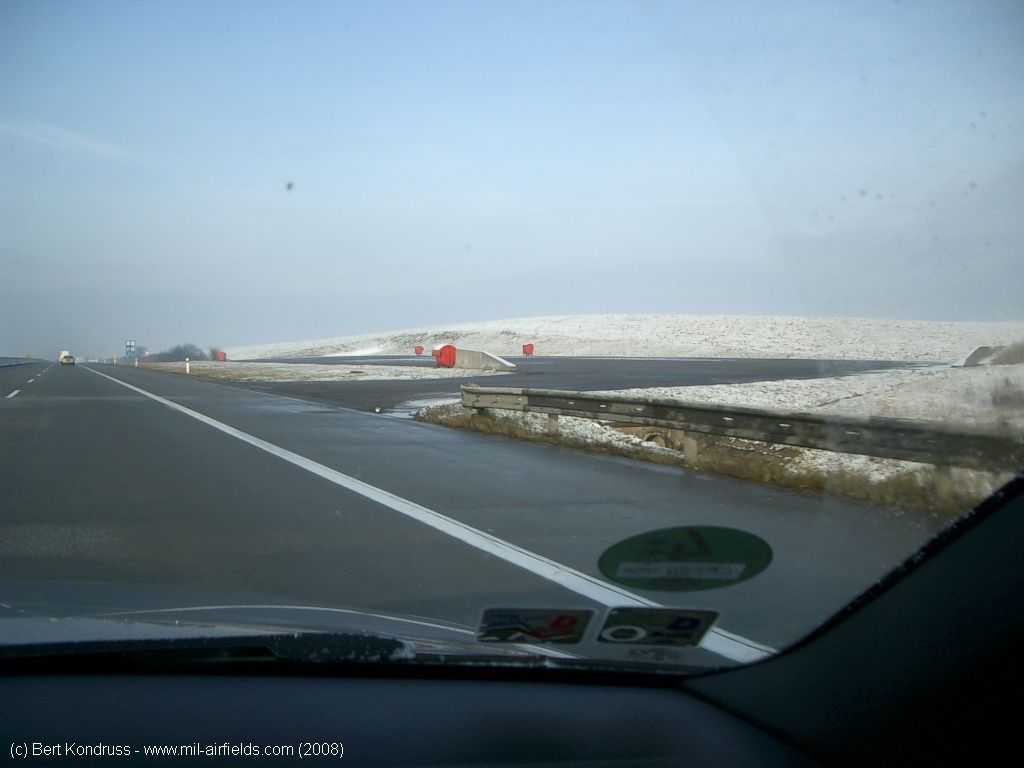
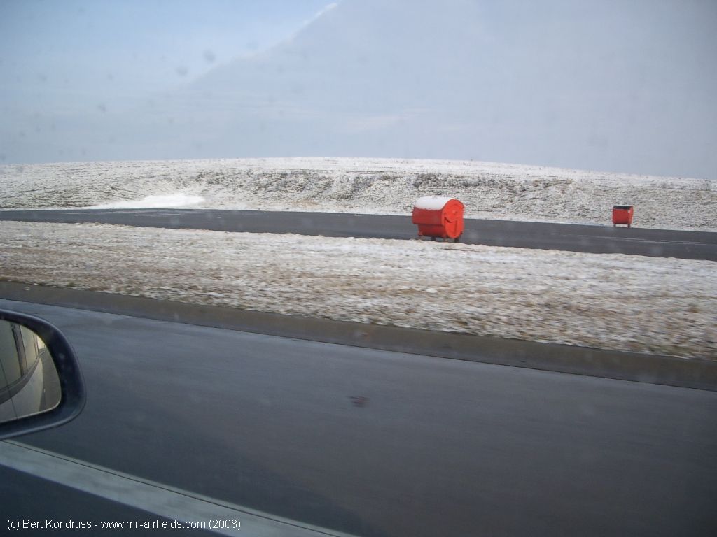
Northwestern end of the highway strip
Airfields in the vicinity
Recommended
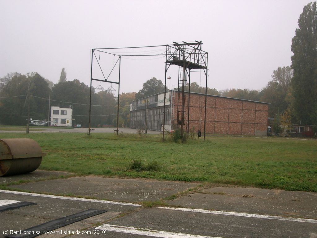
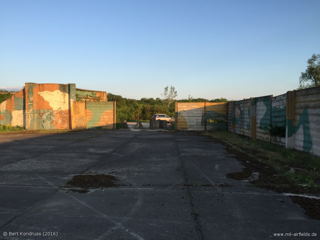

Image credits are shown on the respective target page, click on the preview to open it.
 Follow mil-airfields on Facebook