For historical information only, do not use for navigation or aviation purposes!
| Coordinates | N493810 E0131147 (WGS84) Google Maps |
The history of the Cold War airfields: Stod
During the Cold War
Use
Reserve airfield?
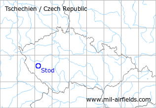
Situation
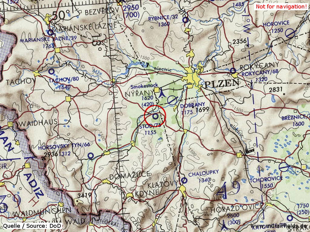
Stod Airfield on a map of the US Department of Defense from 1972 - The line on the left and at the bottom is the border to Germany.
Source: ONC E-2 (1972), Perry-Castañeda Library Map Collection, University of Texas at Austin
Overview
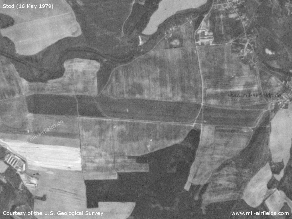
Stod Airfield on a US satellite image from 16 May 1979
Source: U.S. Geological Survey
Runways
- 09/27: 2300 m Grass
Today
Use
Closed.
Airfields in the vicinity
- 052°/7km Líně: Air Base (Letiště Dobřany Líně, Plzeň)
- 043°/15km Plzeň: Bory Airfield (Letiště Plzeň, Pilsen)
- 327°/22km Erpužice: Airfield (Letiště Erpužice, Stříbro)
- 240°/26km Horšovský Týn: Airfield (Letiště Horšovský Týn)
- 065°/31km Rokycany: Airfield (Letiště Rokycany)
- 297°/40km Tachov: Airfield (Letiště Tachov)
 Follow mil-airfields on Facebook