For historical information only, do not use for navigation or aviation purposes!
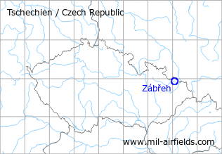
| Coordinates | N495545 E0180416 (WGS84) Google Maps |
| Elevation | 794 ft |
| Location indicator | LKZA |
The history of the Cold War airfields: Zábřeh
During the Cold War
Use
Reserve airfield.
Runways
- 10/28: 2050 m x 30 m
Radio communication
The radio call sign of the airfield was "SOKOL" (198x).
According to western signals intelligence (SIGINT), the airfield was also called "Navigacni Punkt 750" by the Czechoslovak Air Force.
Today
Use
General aviation.
 Follow mil-airfields on Facebook