For historical information only, do not use for navigation or aviation purposes!
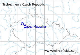
| Coordinates | N501903 E0133043 (WGS84) Google Maps |
The history of the Cold War airfields: Žatec
During the Cold War
Use
Secondary airfield for helicopters.
Situation
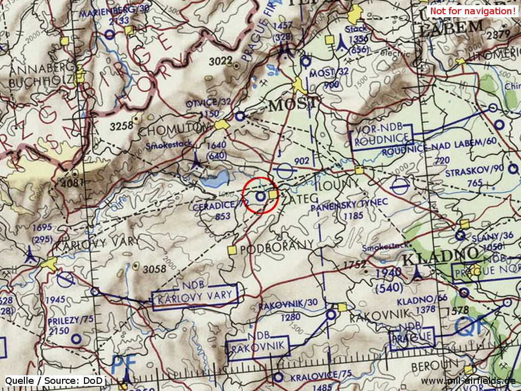
Žatec Macerka Airfield on a map of the US Department of Defense from 1973
Source: ONC E-3 (1973), Perry-Castañeda Library Map Collection, University of Texas at Austin
Overview
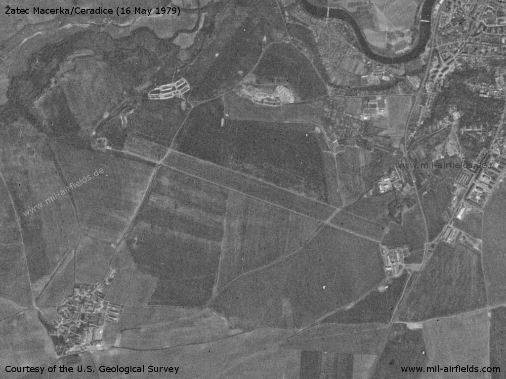
Žatec Macerka Airfield on a US satellite image from 16 May 1979
Source: U.S. Geological Survey
Radio communication
The radio call sign of the airfield was PRIKOP ? (1990).
According to western signals intelligence (SIGINT), the airfield was also called "Navigacni Punkt 480" by the Czechoslovak Air Force.
Today
Use
General aviation.
 Follow mil-airfields on Facebook