For historical information only, do not use for navigation or aviation purposes!
| Coordinates | N534551 E0133221 (WGS84) Google Maps (approximate location) |
| Former East Germany (GDR) | District of Neubrandenburg |
| Federal state | Mecklenburg-Vorpommern (Mecklenburg-Western Pomerania) |
Germany during the Cold War Map
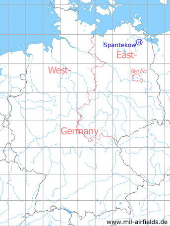
The history of the Cold War airfields: Spantekow
Location
Former East Germany (GDR), Bezirk (District) Neubrandenburg;
today Federal State of Mecklenburg-Vorpommern.
today Federal State of Mecklenburg-Vorpommern.
Location of airfield
2 km southeast of Spantekow
Usage during the Cold War
Helipad 3386 for FuMW-33 and FMFRGL-33 of 3rd Air Defense Division (3. LVD) of former East German Air Force (NVA LSK/LV).
Use today
Closed.
Runways, taxiways, aprons
Dimensions: 150 m x 100 m,
Main takeoff and landing direction: 25°,
Surface: solid gras,
Capacity: 1 helicopter, all types.
Main takeoff and landing direction: 25°,
Surface: solid gras,
Capacity: 1 helicopter, all types.
Airspace and procedures
Usable at day during good weather conditions.
Alert time: 60 minutes.
Alert time: 60 minutes.
Obstacles
Timber forrest: direction 0° - 360°.
Airfields in the vicinity
- 140°/6km Boldekow: Helipad 3385 (HSLP / HLP 3385)
- 048°/11km Anklam: Airfield
- 220°/24km Neubrandenburg: Air Base (Trollenhagen)
- 125°/25km Eichhof: Helipad 3334 (HSLP / HLP 3334)
- 190°/25km Katzenhagen: Helipad 3302 (HSLP / HLP 3302)
- 177°/26km Ulrichshof: Helipad 3014 (HSLP / HLP 3014)
- 201°/27km Pragsdorf: Helipad 3350 (HSLP / HLP 3350)
- 310°/27km Tutow: Air Base (Demmin)
- 042°/29km Lassan: Agricultural Airfield
- 194°/29km Cölpin: Helipad 3301 (HSLP / HLP 3301)
- 031°/30km Seckeritz: Agricultural Airfield
 Follow mil-airfields on Facebook