For historical information only, do not use for navigation or aviation purposes!
| Coordinates | N592352 E0251727 (WGS84) Google Maps |
| Elevation | 130 ft |
The history of the Cold War airfields: Jägala
General
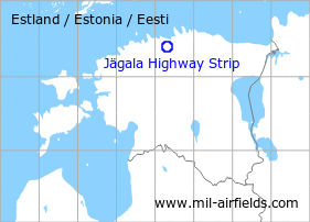
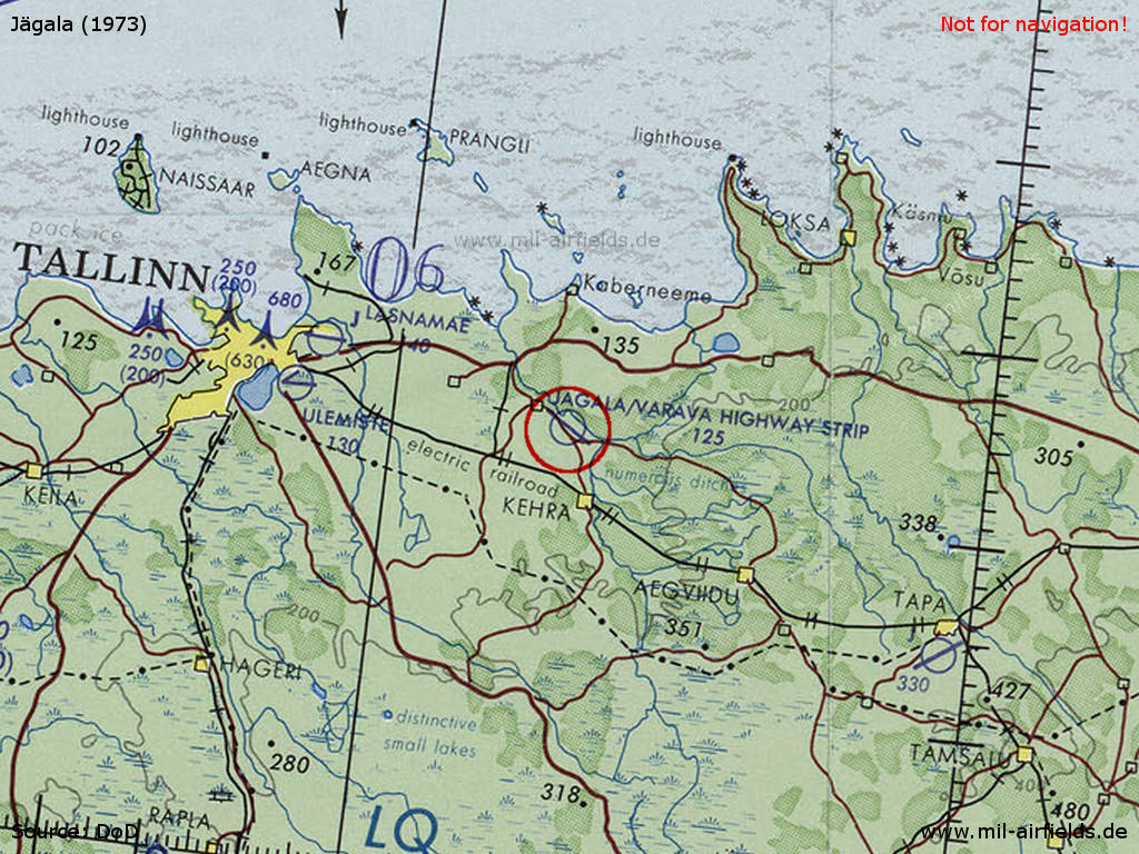
Jägala is located in the north of Estonia. During the Cold War, a section of a road 3 km southeast of Jägala was prepared for the use by military aircraft.
During the Cold War
Situation
Runways
- 12/30: 2400 m
Installations
Large paved apron in the northwest, at the northern side of the road. At the southeastern part, Google Earth shows something that could have been an unpaved parking area (in the woods, south of the road).
Today
Use
In 2016 and 2017, the highway strip has been used by US Air Force A-10 aircraft during exercises.
Airfields in the vicinity
- 283°/25km Tallinn: Airfield / Air Base: Lasnamäe
- 281°/32km Tallinn: Seaplane Station (Lennusadam)
- 115°/42km Tapa: Air Base (Аэродром Тапа)
 Follow mil-airfields on Facebook