For historical information only, do not use for navigation or aviation purposes!
| Coordinates | N592707 E0244418 (WGS84) Google Maps |
The history of the Cold War airfields: Tallin Lennusadam
General
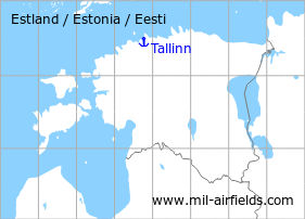
The capital Tallinn is located in the north of Estonia. In the north of the city was a seaplane station Today, the station is closed and the installations are used by a museum.
During World War II
Situation
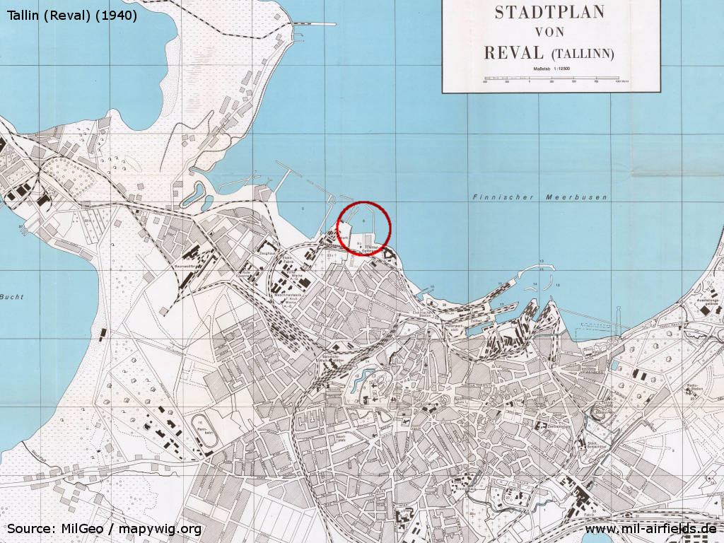
Map with the seaplane station on a MilGeo city map from 1940
Source: mapywig.org
Overview
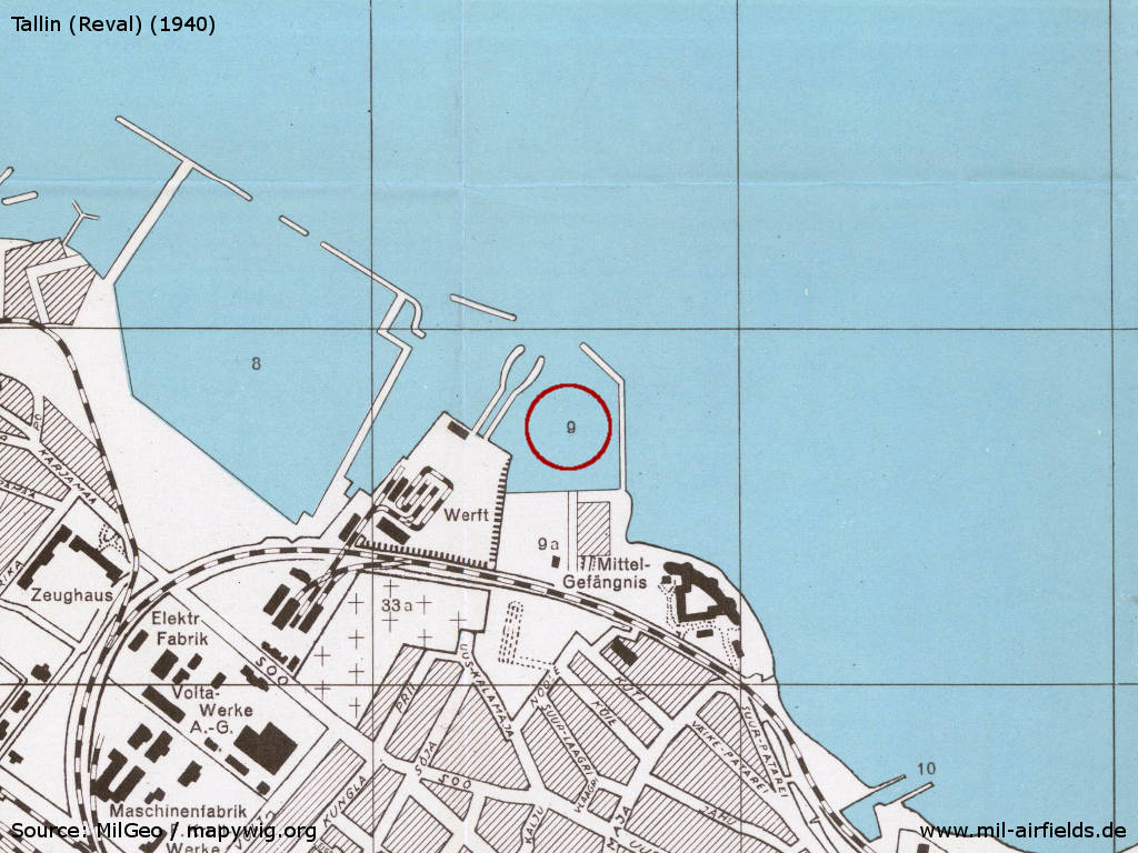
Position 9 is the seaplane harbour, 9a an aircraft hangar
Source: mapywig.org
During the Cold War
Situation
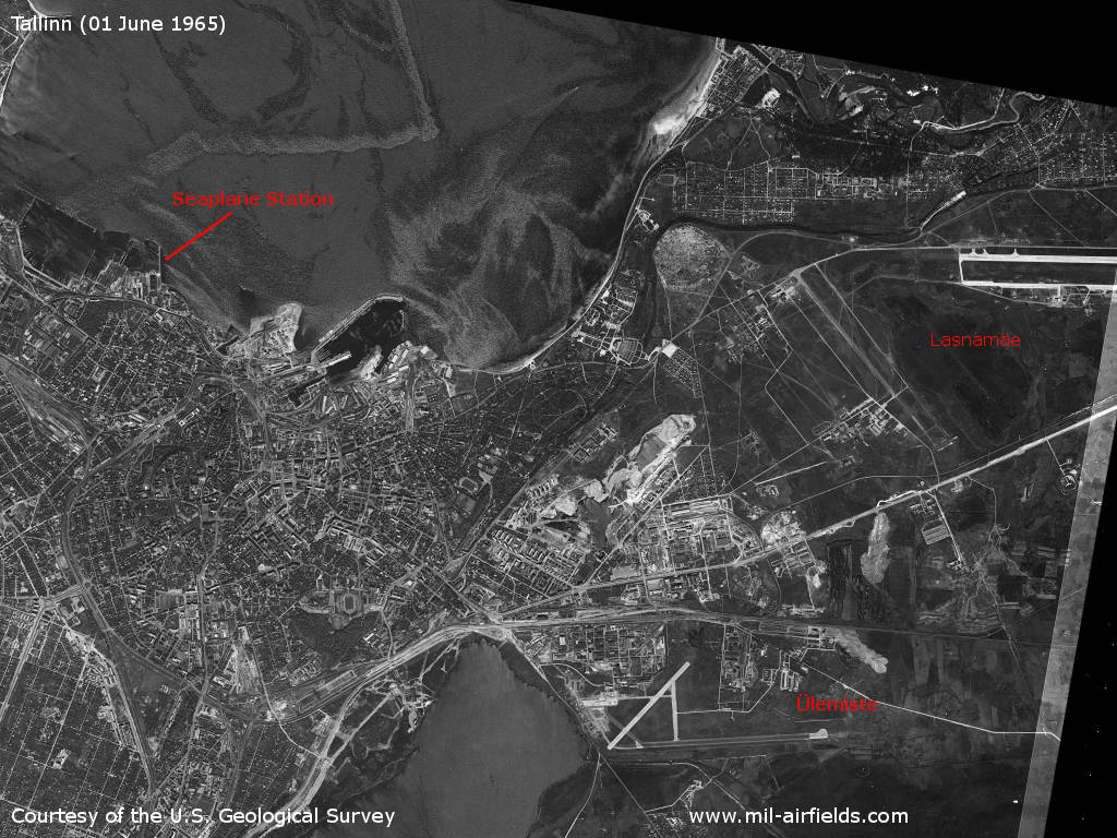
Tallinn's airfields on a satellite picture from 1967
Source: U.S. Geological Survey
Overview
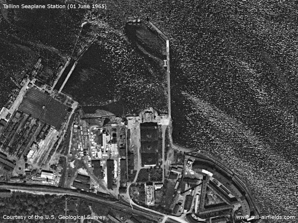
Satellite image from June 1965. There are no planes visible.
Source: U.S. Geological Survey
History
- CIA report from January 1950
The terrain is about 165 feet x 330 feet. A stone hangar with five cupolas measures about 130 feet x 165 feet. The base has a concrete landing strip. - Four flying boats, twin-engine high-wing monoplanes with single rudder assembly and retractable floats at the wing tips, are stationed here.
- Flying with individual planes, allegedly courier flights to Leningrad, are observed. A seaplane lands daily at 5 p.m.
- Comment: The occupation by four flying boats apparently has not changed since late 1948. The described aircraft is definitely identified as the Soviet GST type. The plane may be a Soviet version of the Catalina type or an original lend-lease type.
Today
Use
Closed. The site with the former hangar now houses the Estonian Maritime Museum.
Sources
- http://www.mapywig.org/ - Archiwum Map Wojskowego Instytutu Geograficznego 1919 - 1939
- https://www.usgs.gov/ - USGS U.S. Geological Survey
Links
- http://meremuuseum.ee/ - Estonian Maritime Museum (Eesti Meremuseum)
 Follow mil-airfields on Facebook