For historical information only, do not use for navigation or aviation purposes!
| Coordinates | N524233 E0081023 (WGS84) Google Maps |
| Federal state | Niedersachsen (Lower Saxony) |
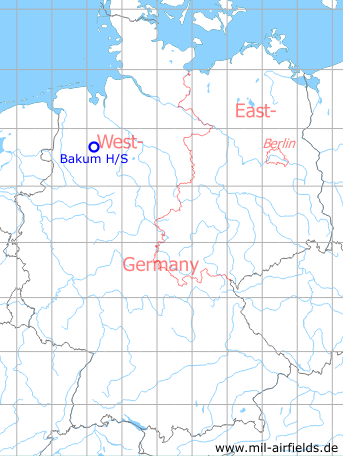
Germany during the Cold War Map
The history of the Cold War airfields: Bakum
Location of airfield
Autobahn A1 between exits Vechta and Lohne/Dinklage.
Use today
Closed.
Runways
- 18/36: 1900m
Airfields in the vicinity
- 195°/10km Holdorf: Highway Strip (Notlandeplatz, NLP)
- 140°/18km Diepholz: Airfield
- 011°/20km Ahlhorn: Air Base (RAF Ahlhorn)