For historical information only, do not use for navigation or aviation purposes!
| Coordinates | N523721 E0080806 (WGS84) Google Maps |
| Federal state | Niedersachsen (Lower Saxony) |
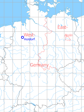
Germany during the Cold War Map
The history of the Cold War airfields: Holdorf
Location of airfield
Autobahn A1 between exits Holdorf and Lohne/Dinklage.
Use today
Closed.
Runways
- 03/21: 2800m
Airfields in the vicinity
- 015°/10km Bakum: Highway Strip (Notlandeplatz NLP)
- 106°/14km Diepholz: Airfield