For historical information only, do not use for navigation or aviation purposes!
| Coordinates | N530003 E0123557 (WGS84) Google Maps |
| Former East Germany (GDR) | District of Potsdam |
| Federal state | Brandenburg |
| Region | Ruppiner Land |
| Airfield Id | 2023 |
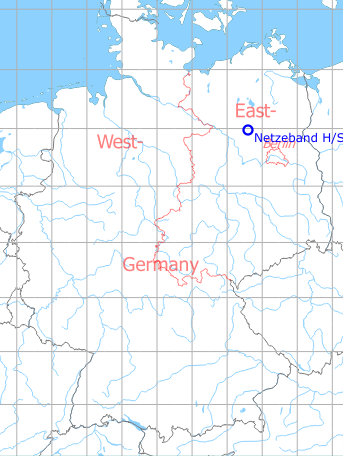
Germany during the Cold War Map
The history of the Cold War airfields: Netzeband
Location of airfield
14 km northwest of Neuruppin; on today's Autobahn A 24, between junctions Neuruppin and Herzsprung.
During the Cold War
Use
Highway Strip on former East German Autobahn A 15 (different numbering schema than today). The highway strip had the airfield ID 2023 in the system of the former East German National People's Army.
In April 1982, the motorway section was used by airplanes and helicopters of the National People's Army (NVA) of the GDR and Soviet air forces as part of an exercise. Among others, East German Fighter Wing 9 (JG-9) from Peenemünde with MiG-23 and the Transport Squadron 24 (TS-24) from Dresden with An-26 were involved.
Overview
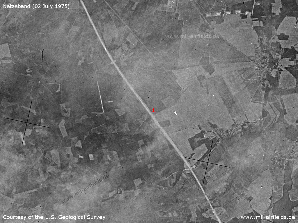
On this satellite picture from 02.07.1975 the autobahn is still under construction. - From the later emergency landing site (1) only the straight route is recognizable so far.
Source: U.S. Geological Survey
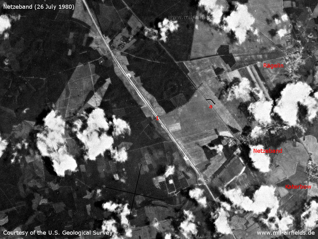
Netzeband Highway Strip on a US satellite image from 26 July 1980 - 1: Highway strip. a: Railway line Neuruppin - Wittstock. Places: Katerbow, Netzeband, Rägelin.
Source: U.S. Geological Survey
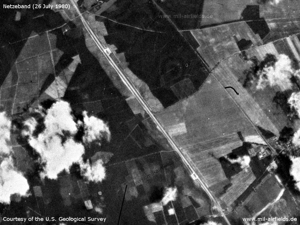
Enlargement - On the north-eastern and south-western side there is now a large car park recognizable. There is also a parallel path on both sides of the motorway.
Source: U.S. Geological Survey
Runways
- 14/32: 2500 m Concrete
The thresholds were marked by ceramic markers and stones:
- Threshold south: km 44,298
- Threshold north: km 46,800
("km" means the kilometer marker at the time of former East Germany)
- Threshold south: km 44,298
- Threshold north: km 46,800
("km" means the kilometer marker at the time of former East Germany)
The outer points in main and secondary landing directions were marked by geodetic signs (stone columns).
Radio beacons
- LOM 32: 943.5 "PA"
- LMM 32: 223.5 "P"
- LOM 14: 943.5 "AP"
- LMM 14: 223,5 "A"
The facilities were not permanently deployed.
Radio communication
The radio call sign of the highway strip was PUMA.
Today
Use
Closed.
Links
- http://www.luroko.de/einsatz/ab/ab.html - Landung auf dem Autobahnabschnitt NETZEBAND
- https://www.youtube.com/watch?v=4Xarz4VH60k - East German Movie: "Actions of a mixed fighter group from a highway strip" (formerly "Secret") Recorded at Netzeband Highway Strip in 1982.
Airfields in the vicinity
- 043°/8km Neuglienicke: Airfield (Glienicke)
- 026°/10km Gadow: Airfield Replica
- 118°/14km Neuruppin: Air Base (Аэродром Нойруппин)
 Follow mil-airfields on Facebook