Gadow: Airfield Replica
For historical information only, do not use for navigation or aviation purposes!
| Coordinates | N530503 E0124004 (WGS84) Google Maps |
| Former East Germany (GDR) | District of Potsdam |
| Federal state | Brandenburg |
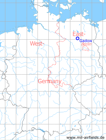
Germany during the Cold War Map
The history of the Cold War airfields: Gadow
Location of airfield
About 4 km southeast of Gadow.
During the Cold War
Use
Replica of a NATO airbase (maybe Bitburg) at the former Soviet firing range Wittstock.
Situation
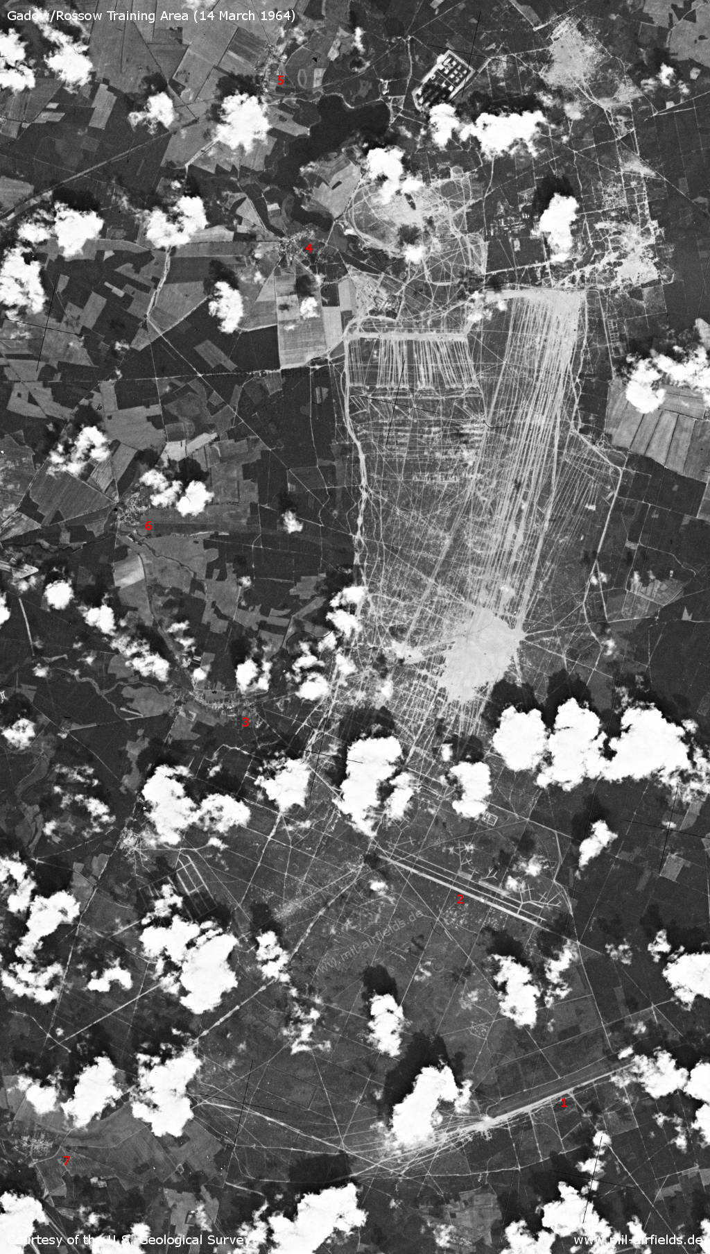
Wittstock Training Area / Gadow/Rossow Firing Range on 14 March 1964 - 1: Neuglienicke airfield; 2: Gadow airfield replica; 3: Gadow; 4: Schweinrich; 5: Dranse; 6: Zootzen; 7: Rossow
Source: U.S. Geological Survey
Overview
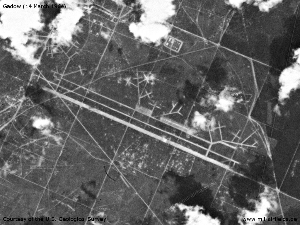
Gadow Airfield Replica on a US satellite image from 14 March 1964
Source: U.S. Geological Survey
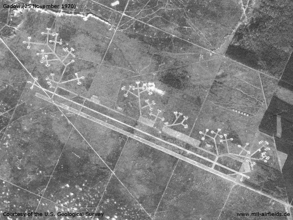
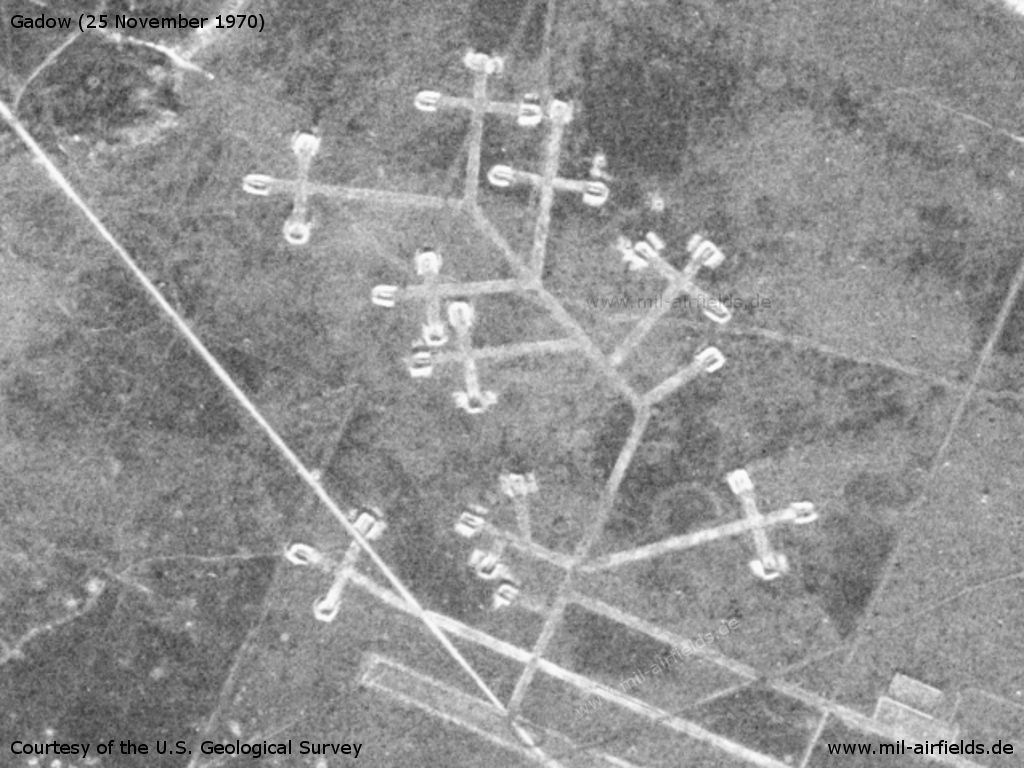
On this satellite picture from 25.11.1970 the aircraft revetments are particularly well recognizable.
Source: U.S. Geological Survey
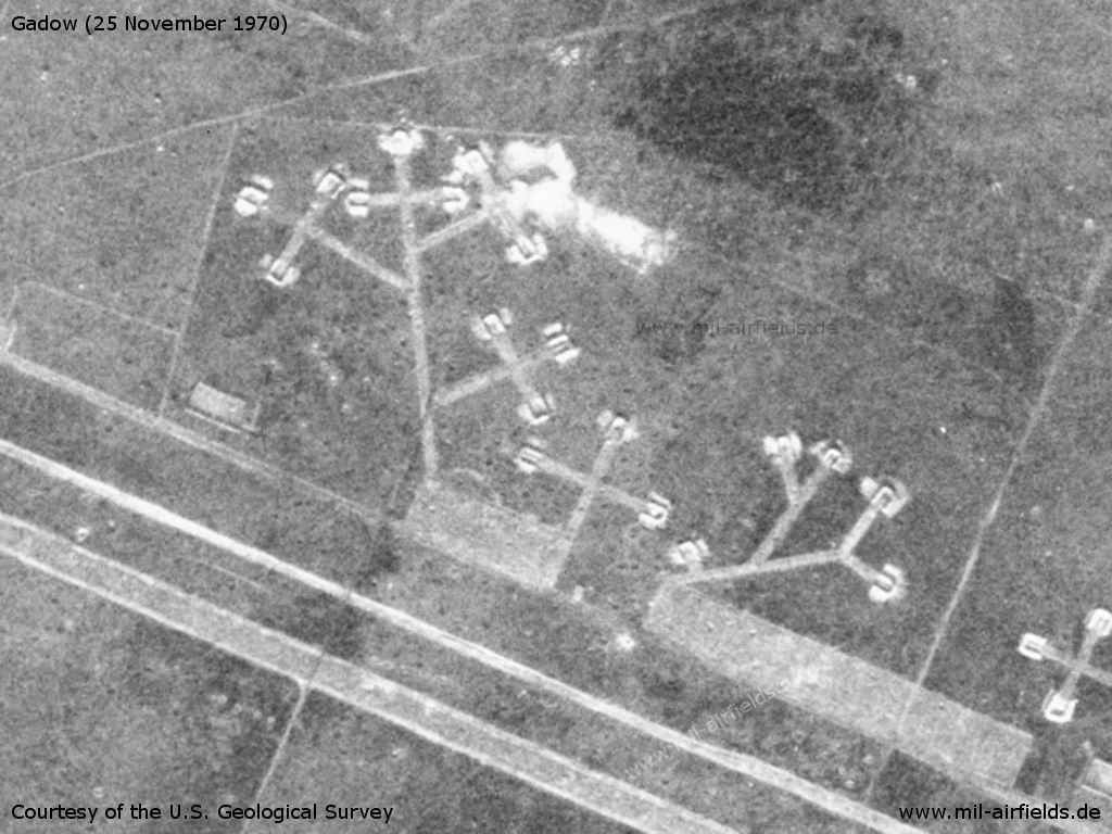
Western part
Source: U.S. Geological Survey
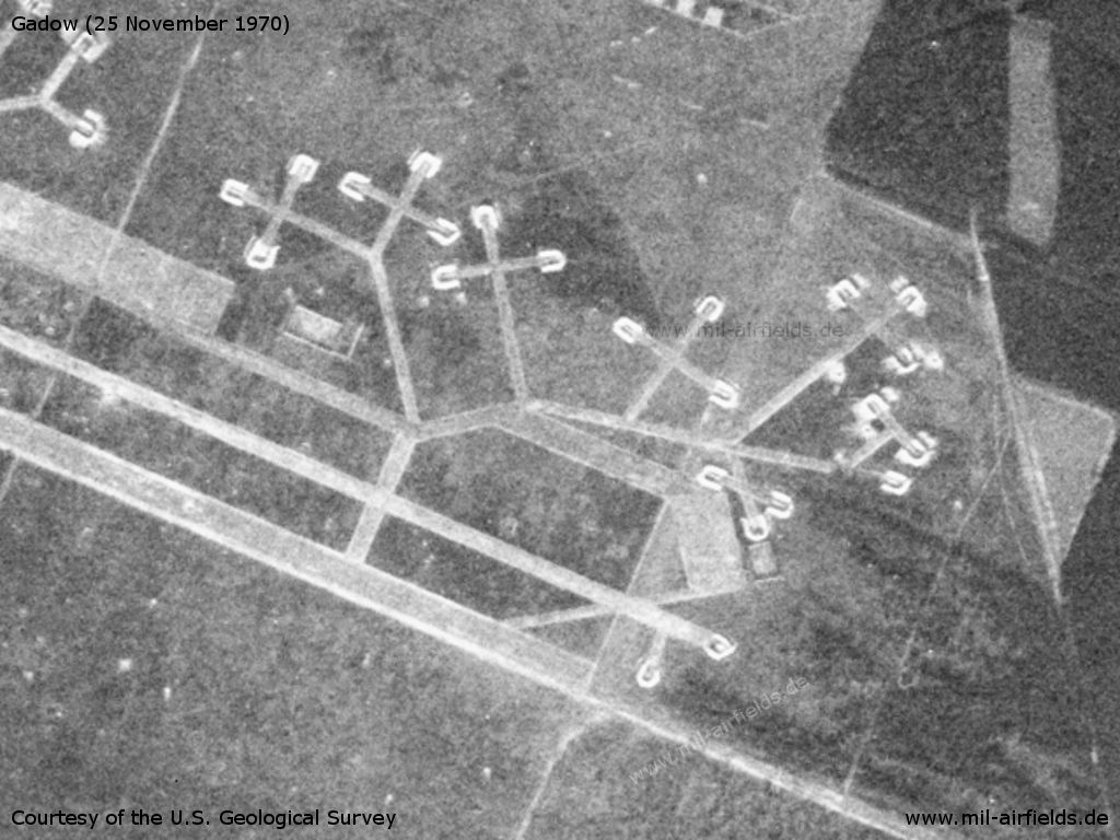
Central part
Source: U.S. Geological Survey
Eastern part
Source: U.S. Geological Survey
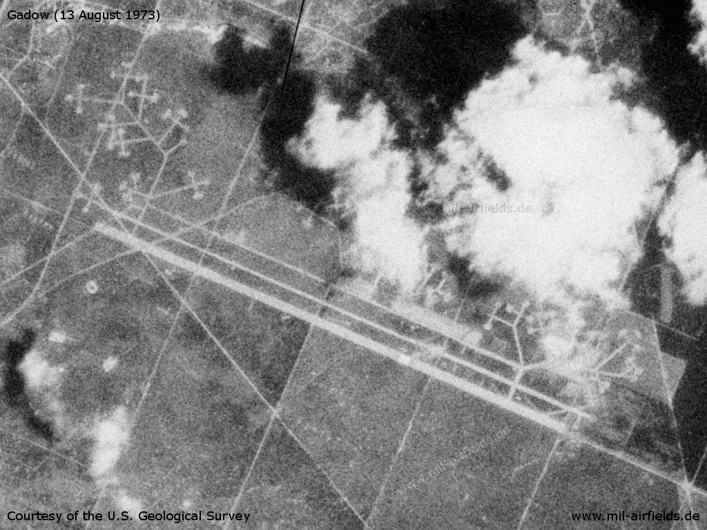
On 13.08.1973 the status seems to be unchanged.
Source: U.S. Geological Survey
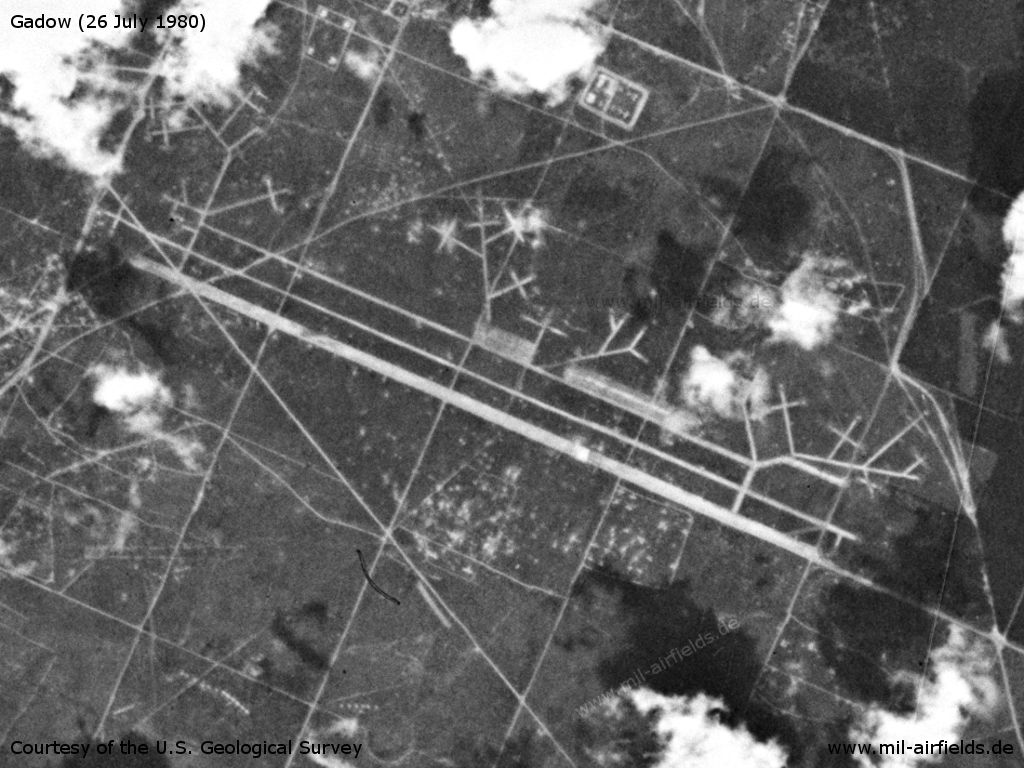
Also up to 26 July 1980 there were apparently only few changes.
Source: U.S. Geological Survey
Runways
- 11/29: 2800 m
Today
Use
Closed.
Videos
- https://www.youtube.com/watch?v=3xjAiVMMSv0 - Вертолет Ми-6. Стрельба на полигоне Виттшток. Flight with a Mi-6 helicopter from Oranienburg airfield to Wittstock firing range and back. Between 10:09 and 10:22, the Gadow Airfield Replica can be seen from above.
Airfields in the vicinity
Categories
Military Airfields GermanyMilitary Airfields in former East GermanyAirfields of the Soviet Forces in GermanyRecommended
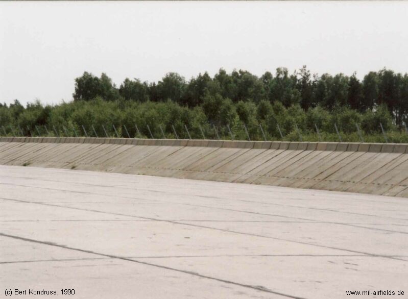
Image credits are shown on the respective target page, click on the preview to open it.
 Follow mil-airfields on Facebook