For historical information only, do not use for navigation or aviation purposes!
| Coordinates | N461325 E0142727 (WGS84) Google Maps |
| Elevation | 1273 ft |
| Location indicator | LJLJ |
The history of the Cold War airfields: Ljubljana Brnik
During the Cold War
In the 1970s
Overview
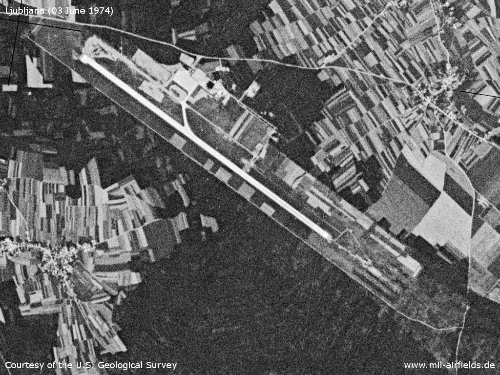
Ljubljana Brnik Airport on a US satellite image from 03 June 1974
Source: U.S. Geological Survey
Today
Use
International airport and base of the Slovenian Air Force (helicopter).
Runways
- 13/31
Pictures from 2008
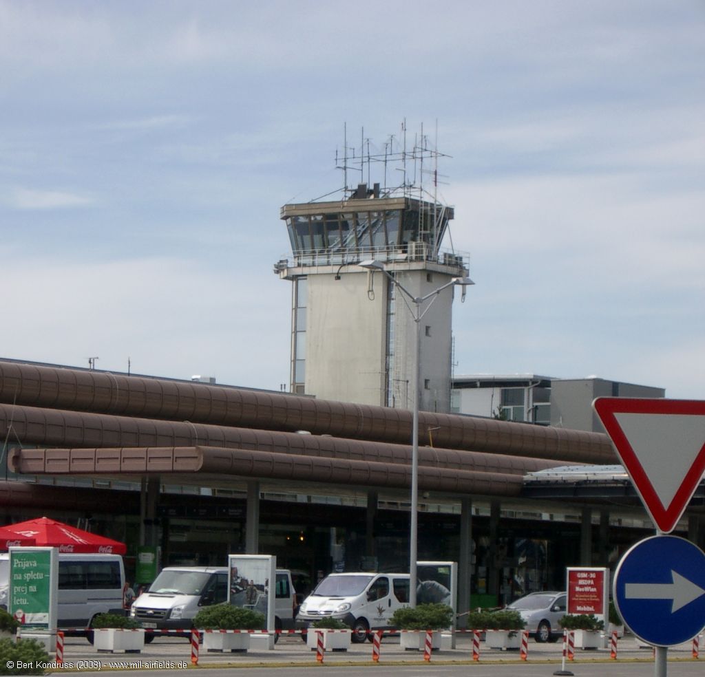
Control tower
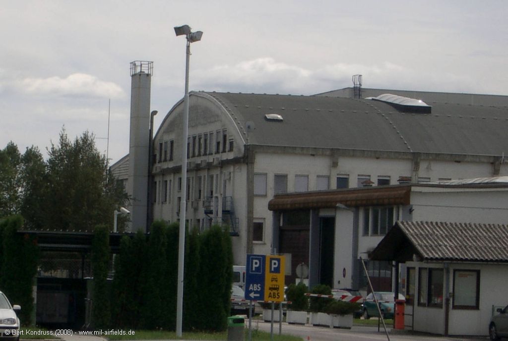
Buildings
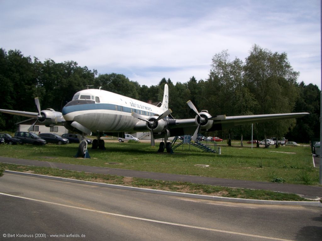
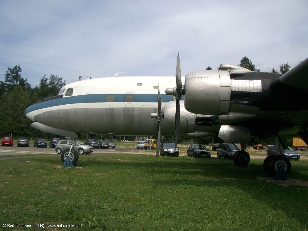
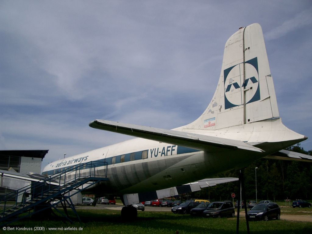
DC-6B on display
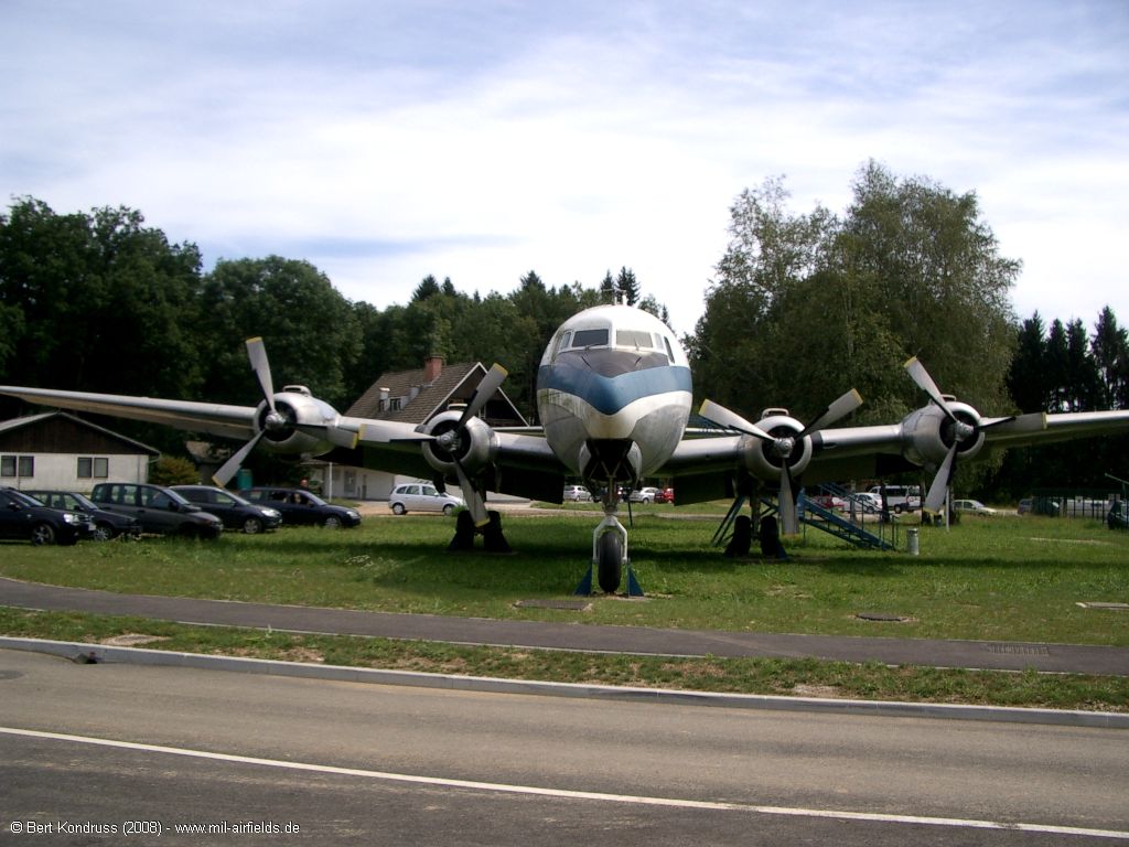
Front
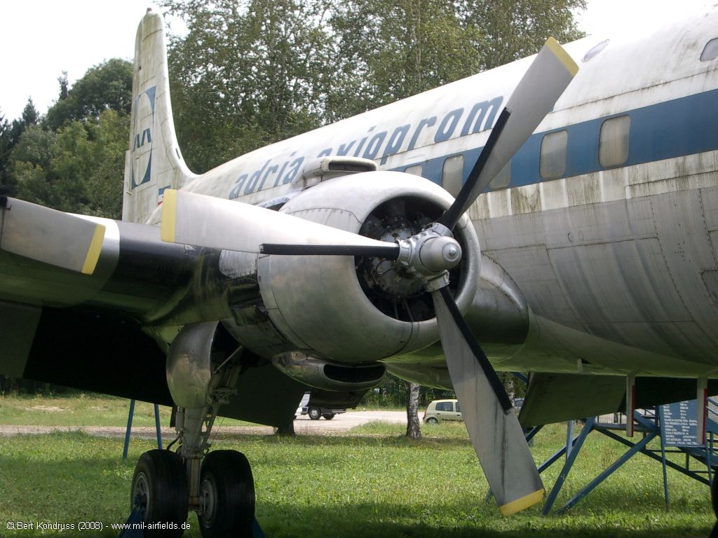
Right side: "adria aviopromet"
Left side
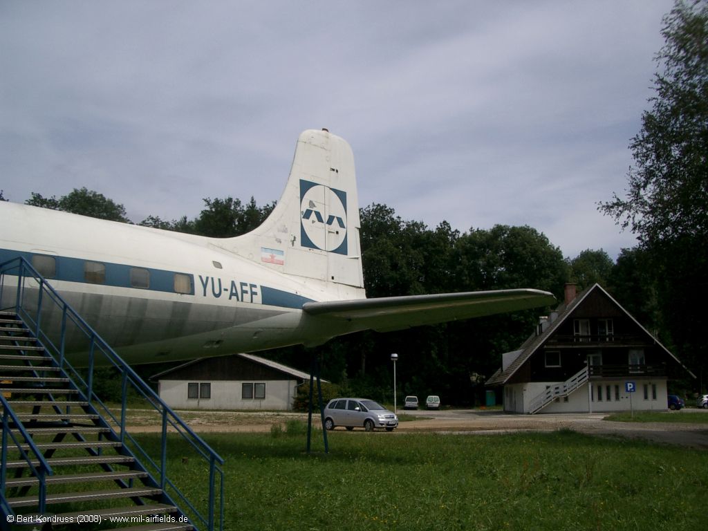
Tail auf the YU-AFF
Airplane from behind
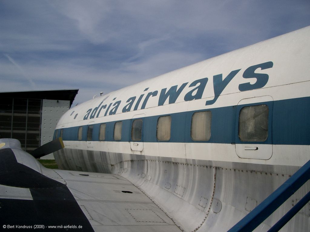
Left side: "adria airways"
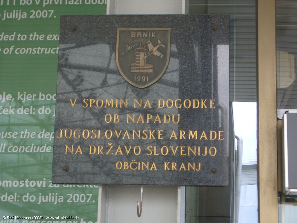
"Brnik 1991 - commemorating the Yugoslav Army's attack on Slovenia. Municipality of Kranj" - (Brnik 1991 - V spomin na dogodke ob napadu Jugoslovanske armade na državo Slovenijo. Občina Kranj)
Airfields in the vicinity
Categories
Air Bases SloveniaRecommended
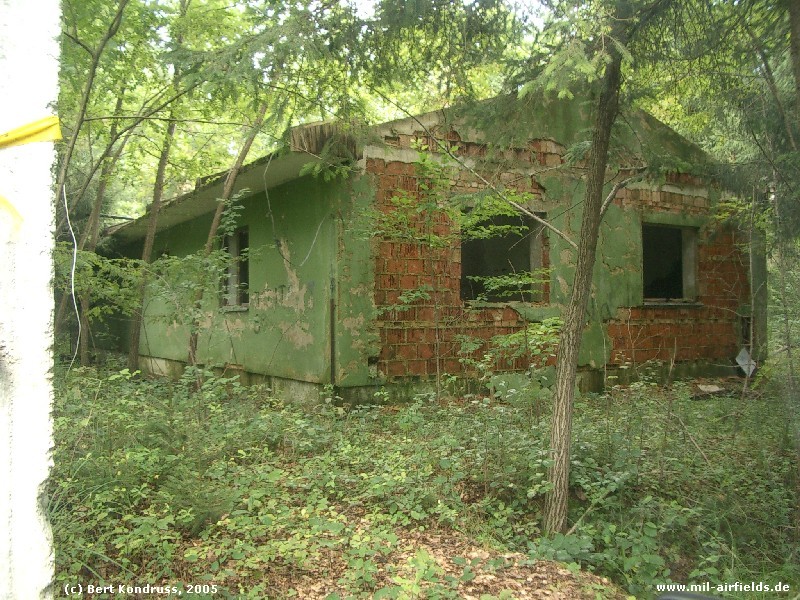
Image credits are shown on the respective target page, click on the preview to open it.
 Follow mil-airfields on Facebook