For historical information only, do not use for navigation or aviation purposes!
| Coordinates | N513438 E0122941 (WGS84) Google Maps |
| Federal state | Sachsen (Saxony) |
| Location indicator | EDAW |
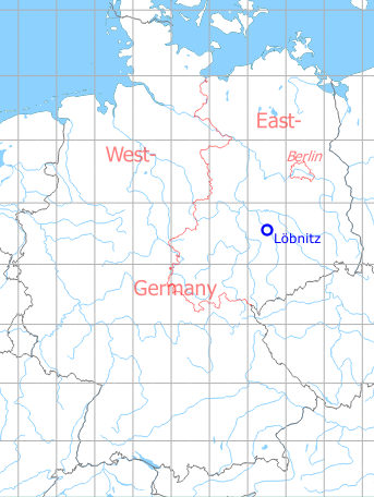
Germany during the Cold War Map
The history of the Cold War airfields: Löbnitz
Location of airfield
2 km southwest of Löbnitz
During World War II
Use
Luftwaffe airfield.
During the Cold War
Use
Soviet reserve airfield, later airfield of former East German pre-military organization Gesellschaft für Sport und Technik GST and Helipad 6029 of former East German National People's Army (NVA).
In the 1960s
Overview
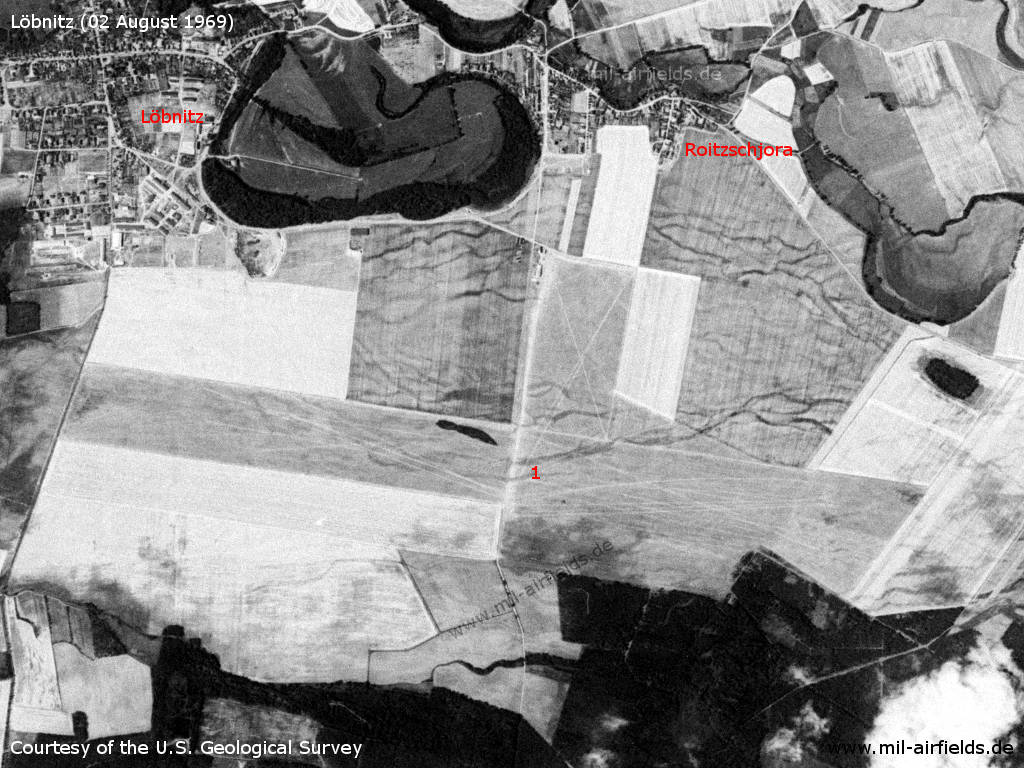
Löbnitz Airfield on a US satellite image from 02 August 1969 - 1: airfield
Source: U.S. Geological Survey
In the 1970s
Situation
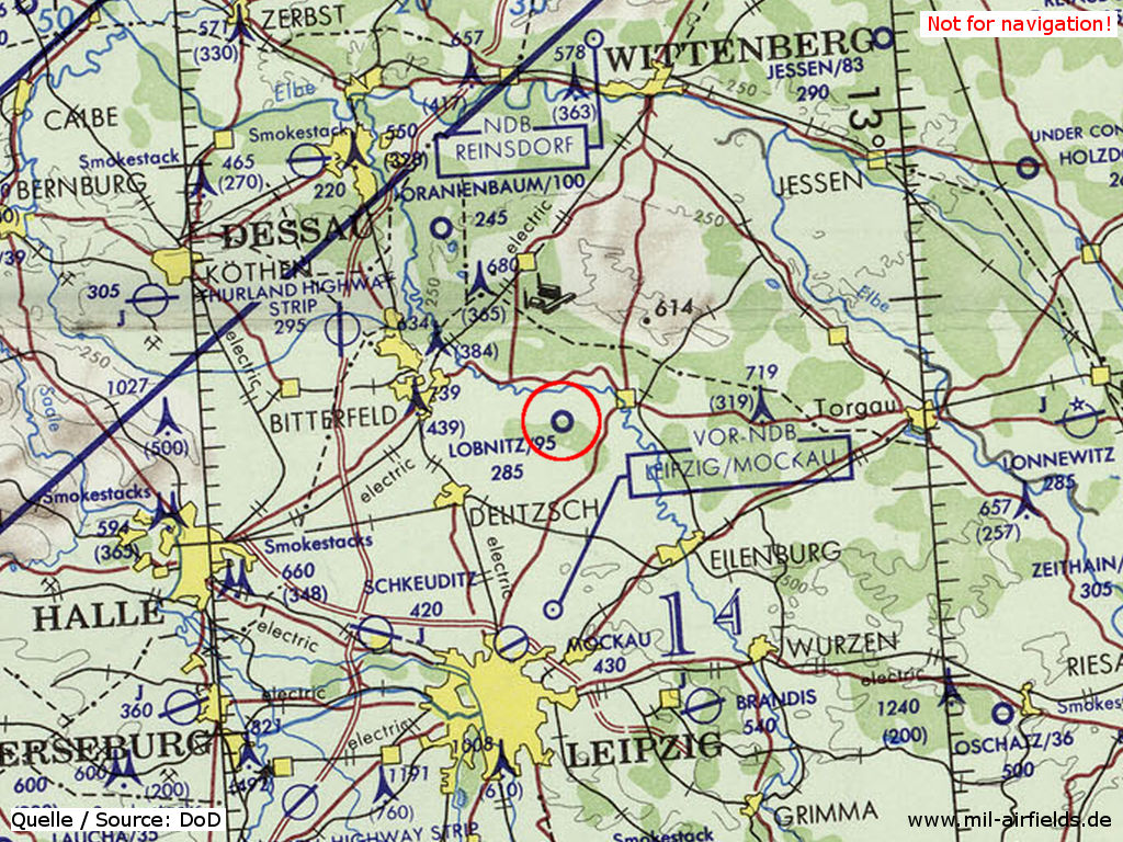
Löbnitz-Roitzschjora airfield on a map of the US Department of Defense from 1972 - The field is shown with an unpaved runway, which has a length of approx. 2.900 m (95 = 9.500 feet). The elevation / height above mean sea level is 285 feet. The blue lines mark the southern allied air corridor from and to Berlin
Source: ONC E-2 (1972), Perry-Castañeda Library Map Collection, University of Texas at Austin
Overview
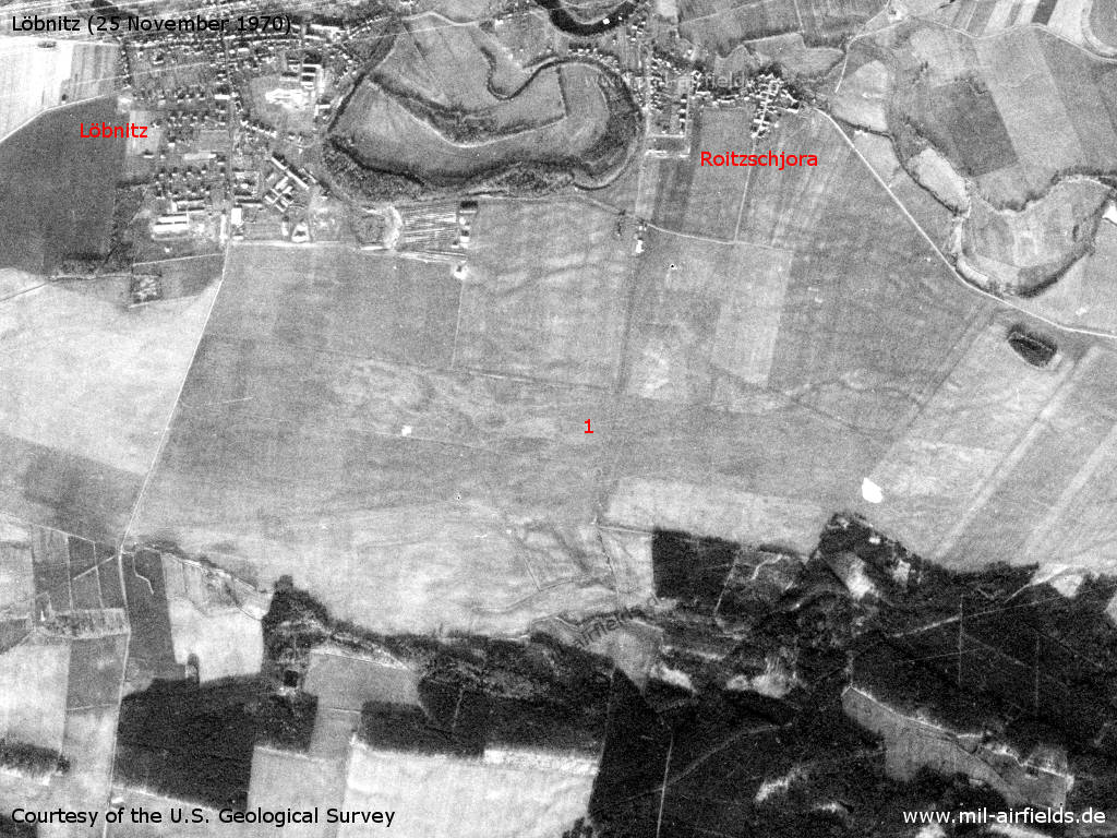
Satellite image from 25 November 1970 - 1: airfield
Source: U.S. Geological Survey
Radio beacons
- LOM 28: 970 "NÄ"
- LMM 28: 557 "N"
- LOM 10: 970 "DCh"
- LMM 10: 557 "D"
In the 1980s and early 1990s
Runways
- 10/28: 2400 m Grass
- 08/26: 1050 m Grass
- 14/32: 1000 m Grass
- 18/36: 1000 m Grass
Telephone
Loebnitz 2255 (in the year 1990)
Teletype
517412 (in the year 1990)
Today
Use
General aviation.
Links
- http://www.edaw.de/ - Fliegerklub Roitzschjora e.V.
Bibliography
- Freundt, Lutz: "Sowjetische Fliegerkräfte in Deutschland 1945-1994, Band 2" Freundt Eigenverlag, Diepholz 1999 - Short description
Airfields in the vicinity
Categories
Military Airfields GermanyMilitary Airfields in former East GermanyGST AirfieldsAirfields of the Soviet Forces in GermanyRecommended
Image credits are shown on the respective target page, click on the preview to open it.
 Follow mil-airfields on Facebook