Hannover Langenhagen Airport
Historical approach and aerodrome charts
For historical information only, do not use for navigation or aviation purposes!
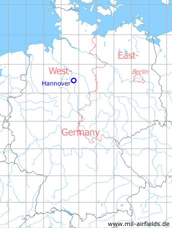
| Coordinates | N522741 E0094111 (WGS84) Google Maps |
| Region | Niedersachsen (Lower Saxony), Leine |
| Location indicator | EDVV, EDDV |

In the 1960s
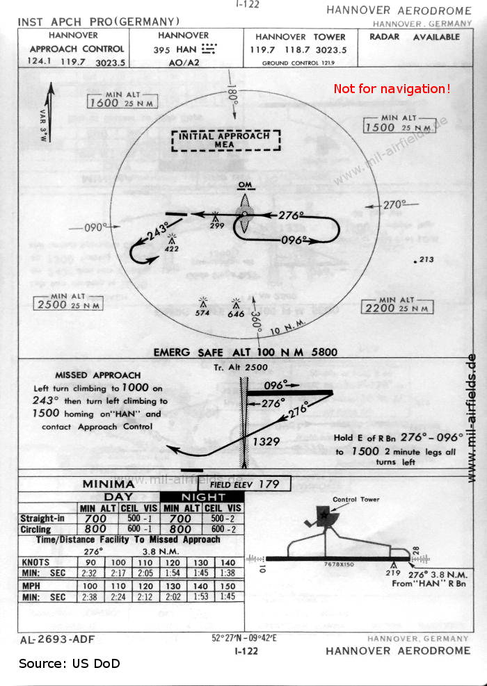
NDB approach runway 28 (October 1960) - There is one runway - 10/28: length 2340 m, width 46 m (7678 feet x 150 feet). (Source: US DoD)
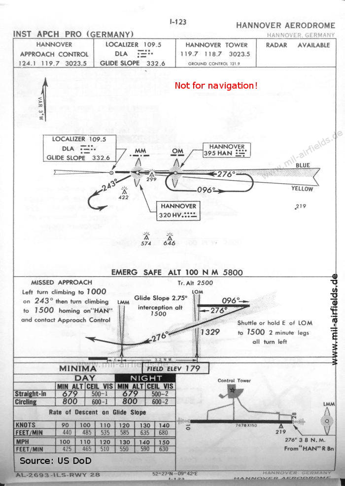
ILS approach runway 28 (October 1960) (Source: US DoD)
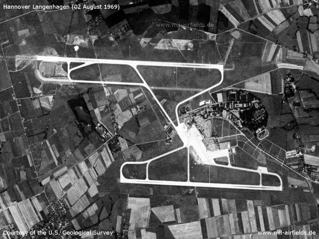
Satellite image from 02 August 1969 - The northern runway was put into operation three years earlier. (Source: U.S. Geological Survey)
Index to the objects shown on the maps
Radio beacons:
- Hannover NDB "HAN", Locator "HV", ILS "DLA", Outer Marker, Middle Marker
Air traffic control
- Hannover Approach Control, Hannover Tower, Hannover Ground Control
Source for all maps, if not marked otherwise: US Department of Defense (US DoD)
Recommended

Image credits are shown on the respective target page, click on the preview to open it.
 mil-airfields.de at Facebook