Leipheim Air Base, Germany
Leipheim Airfield
Historical approach charts and maps
For historical information only, do not use for navigation or aviation purposes!
| Coordinates | N482624 E0101410 (WGS84) Google Maps |
| Elevation | 1566 ft |
| Federal state | Bayern (Bavaria) |
| Location indicator | DBLM, EDSD |
| Operator | US Air Force (USAF), Deutsche Luftwaffe |
In the 1960s
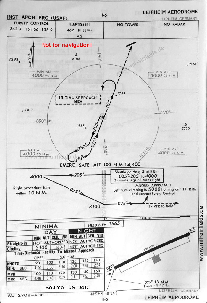
Approach chart (October 1960) - This procedure still comes from the US Air Force (USAF) and uses the Illertissen NDB. There is one runway - 070/250: length 2225 m, width 30 m (7300 feet x 100 feet). (Source: US DoD)
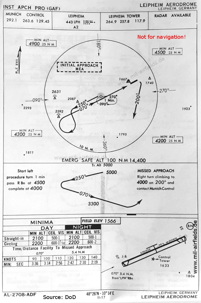
NDB approach runway 07 (May 1966) - Now Leipheim has its own radio beacon located southwest of the field. There runway is now shown as - 07/25: length 1948 m, width 30 m (6390 feet x 98 feet). (Source: US DoD)
In the 1970s
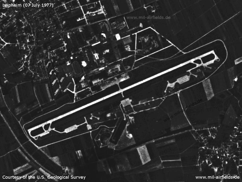
Satellite image from 07 July 1977 (Source: U.S. Geological Survey)
Index to the objects shown on the maps
Radio beacons:
- Illertissen NDB "FI"
- Leipheim NDB "LPH"
Air traffic control:
- Fursty Control
- Leipheim Tower
- Munich Control
Source for all maps, if not marked otherwise: US Department of Defense (US DoD)
Frequently asked questions about Leipheim Air Base
In which country was Leipheim Air Base located?
Germany.
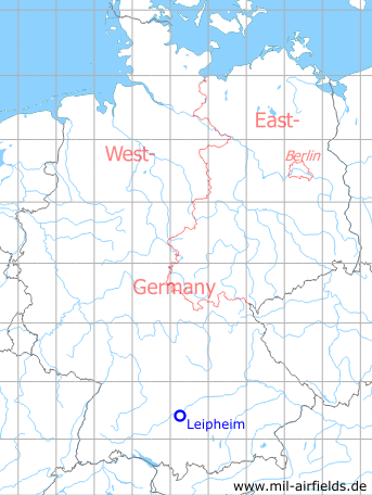
In East or West Germany?
West Germany.
In which federal state was Leipheim Air Base located?
In Bavaria.
How long was the runway at Leipheim?
In 1990 Leipheim had a runway 07/25, length 2000 m, width 45 m
When did the military use end?
The military use ended in 2008.
What is today on the former air base?
An industrial park is being created on the site.
Recommended
Image credits are shown on the respective target page, click on the preview to open it.
Navigation
Approach and airfield charts - Federal Republic of Germany