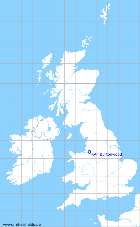
RAF Burtonwood
RAF Burtonwood
Historical approach and aerodrome charts
For historical information only, do not use for navigation or aviation purposes!
| Coordinates | N532435 W0023913 (WGS84) Google Maps |
| Location indicator | MJXB, EGOB (US Army, Army Heliport) |
| Operator | US Air Force (USAF), US Army |
In the 1950s
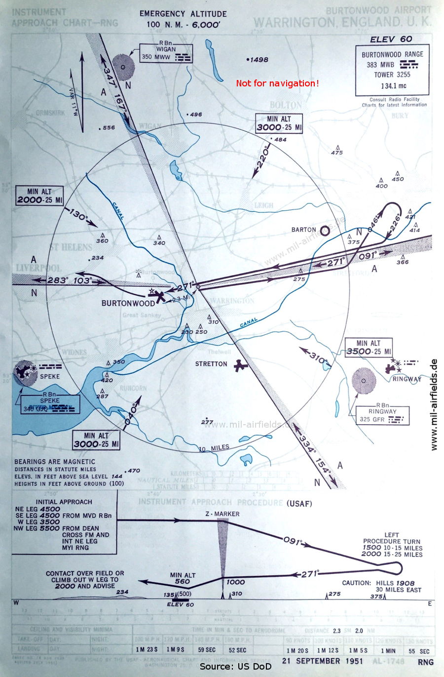
Range approach runway 27 (September 1951) - Airfields in the vicinity: Barton, Manchester Ringway, Speke, Stretton (Source: US DoD)
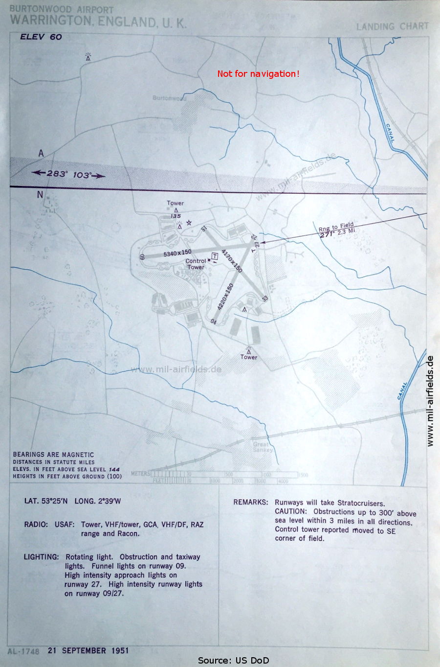
Airfield (September 1951) - There are three runways - 04/22: length 1286 m, width 46 m (4220 feet x 150 feet), 09/27: length 1628 m, width 46 m (5340 feet x 150 feet), 15/33: length 1271 m, width 46 m (4170 feet x 150 feet). (Source: US DoD)
Source for all maps, if not marked otherwise: US Department of Defense (US DoD)
Links
https://www.historicaviationmilitary.com/burtonwoo... - Burtonwood Home Page - Landing charts 1954
https://atchistory.wordpress.com/2017/02/04/raf-bu... - RAF Burtonwood (EGOB)
Recommended
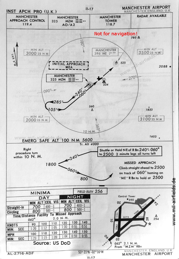
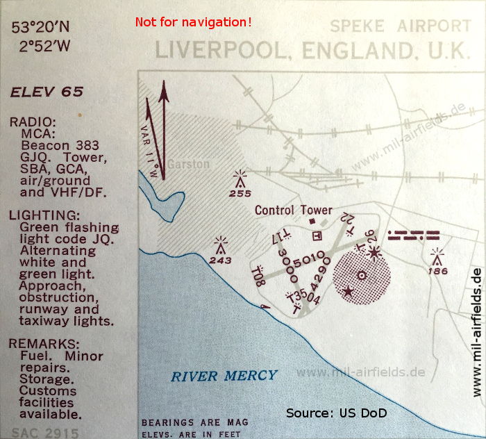

Image credits are shown on the respective target page, click on the preview to open it.
 mil-airfields.de at Facebook