RAF Shepherds Grove
RAF Shepherds Grove
Historical approach and aerodrome charts for free download
For historical information only, do not use for navigation or aviation purposes!
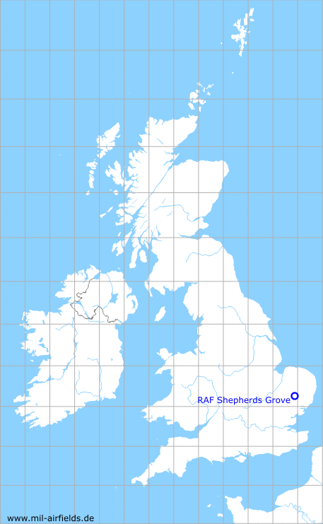
| Coordinates | N521856 E0005510 (WGS84) Google Maps |
| Region | Suffolk |
| Location indicator | MAYS |
| Operator | US Air Force (USAF) |
In the 1950s
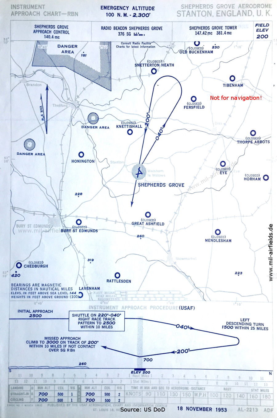
NDB approach runway 20 (November 1953) - Airfields in the vicinity: Bury St. Edmunds, Chedburgh, Eye, Fersfield, Great Ahsfield, Honington, Horham, Knettishall, Lavenham, Mendlesham, Old Buckenham, Rattlesden, Snetterton Heath, Thorpe Abbots (Source: US DoD)
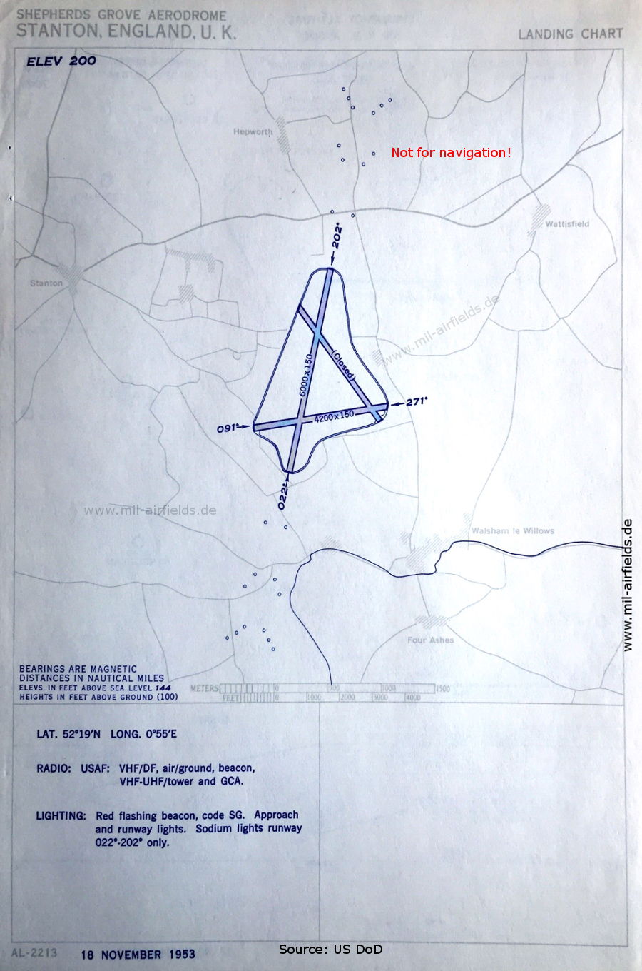
Aerodrome (November 1953) (Source: US DoD)
Source for all maps, if not marked otherwise: US Department of Defense (US DoD)
Recommended

Image credits are shown on the respective target page, click on the preview to open it.
 mil-airfields.de at Facebook