RAF Tangmere
RAF Tangmere
Historical approach and aerodrome charts
For historical information only, do not use for navigation or aviation purposes!
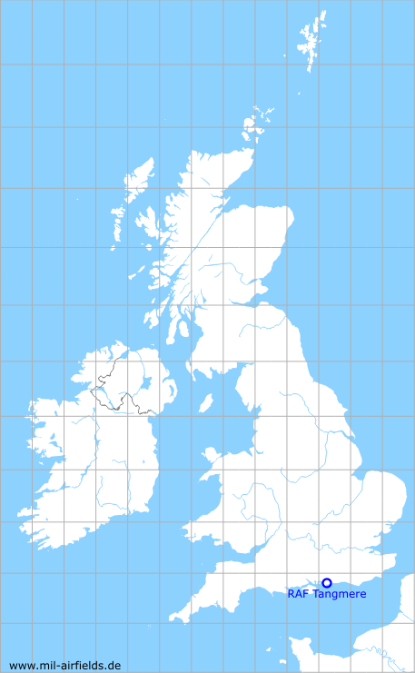
| Coordinates | N505046 W0004224 (WGS84) Google Maps |
| Region | Chichester District, West Sussex, England |
| Location indicator | EGWF |
| Operator | Royal Air Force (RAF) |
Airfield
Today:
The airfield is closed, on a part of it there is an aviation museum.
In the 1930s
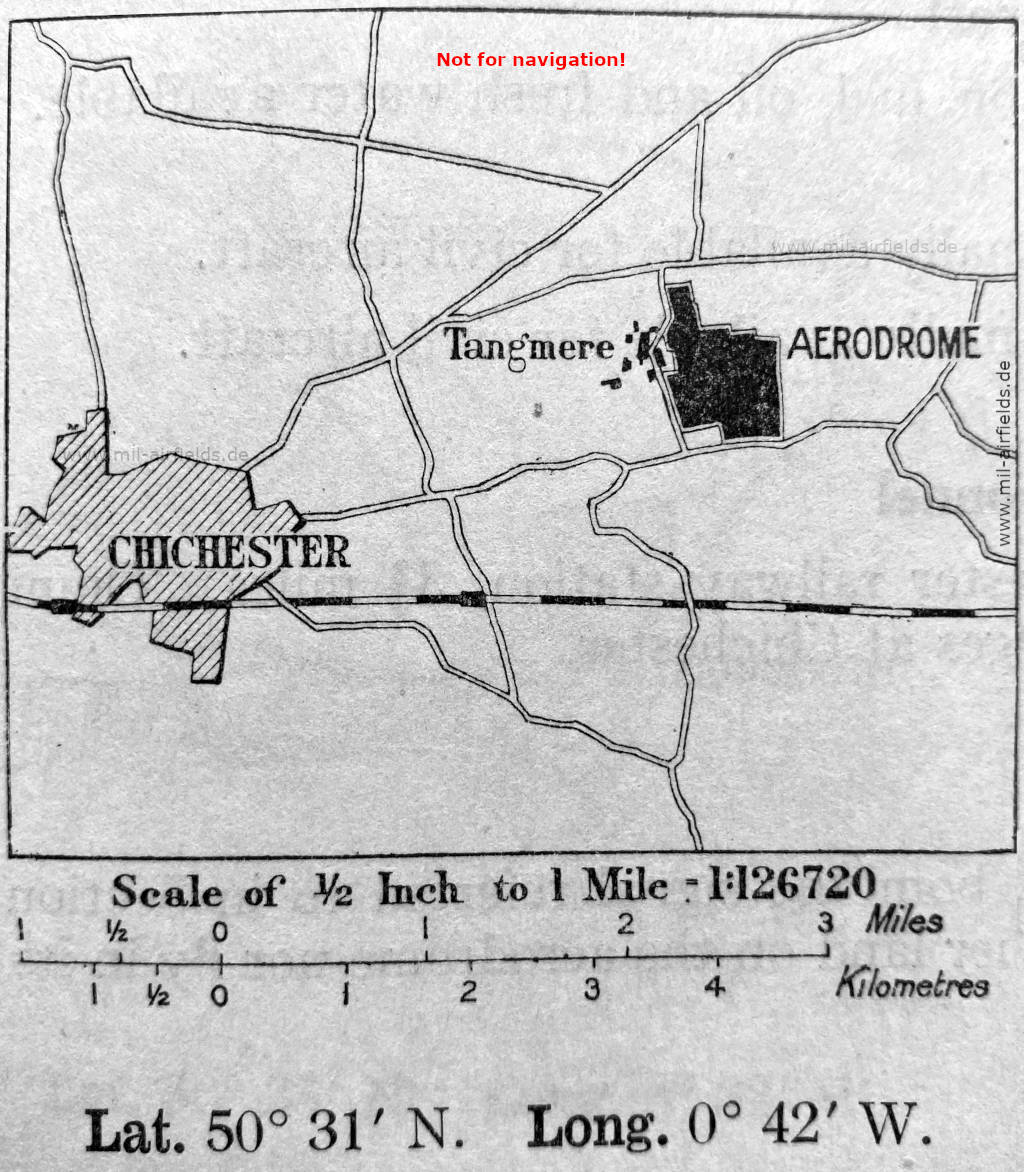
Tangmere airfield on a map from 1934 (Source: The Air Pilot 1934)
In the 1950s
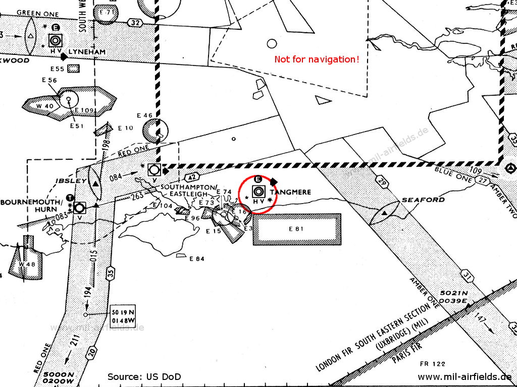
RAF Tangmere on a chart from 1955 (Source: US DoD)
In the 1960s
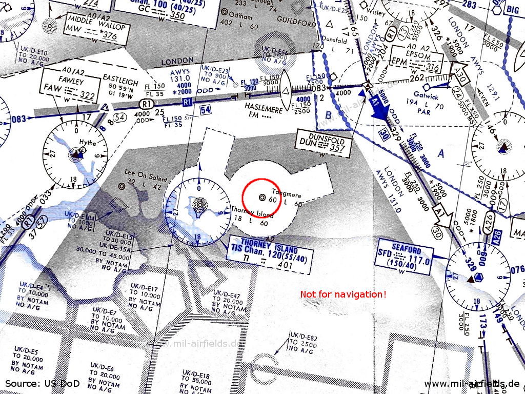
RAF Tangmere airfield on an enroute chart from 14 November 1963 (Source: US DoD - USAF/USN)
In the 1970s

Satellite image from August 15, 1973 - Both runways are closed (Source: U.S. Geological Survey)
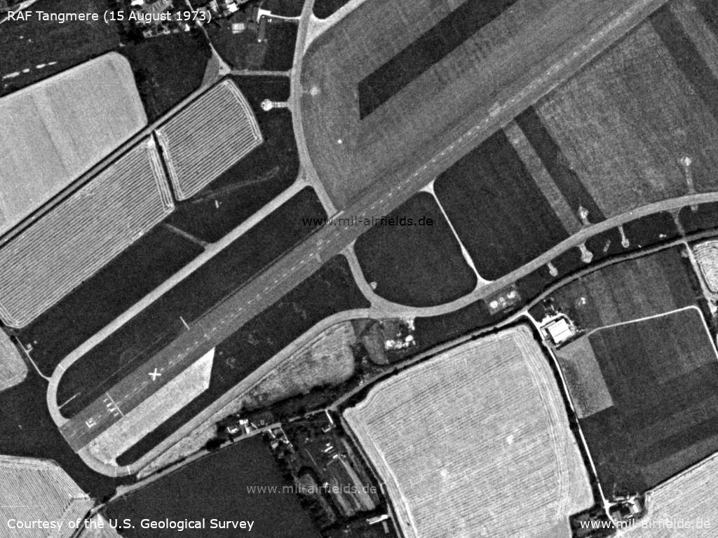
Southwestern part - The runway is marked with a white cross as closed. (Source: U.S. Geological Survey)
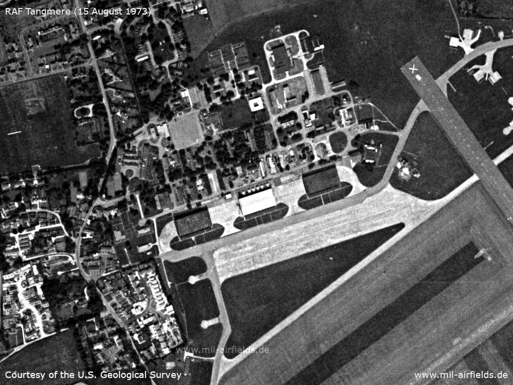
Northern part - Here various facilities and hangars are located (Source: U.S. Geological Survey)
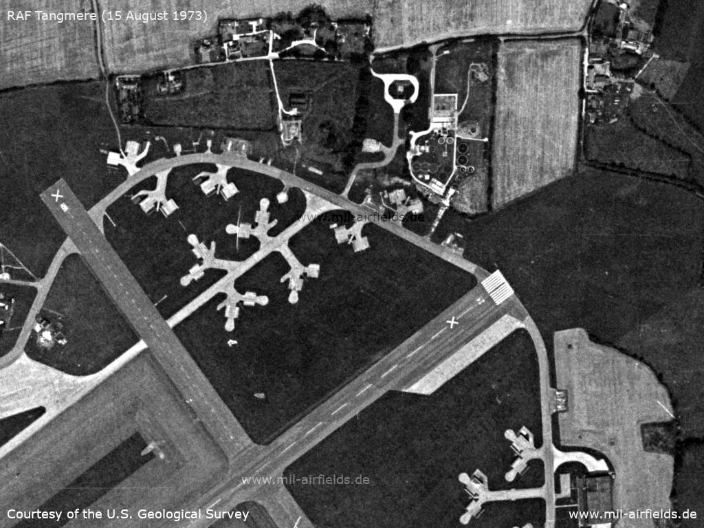
Northeastern part (Source: U.S. Geological Survey)
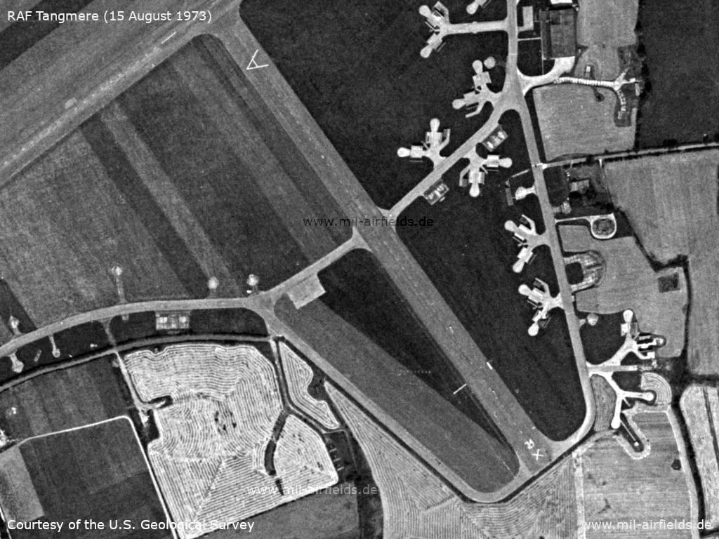
Southern part (Source: U.S. Geological Survey)
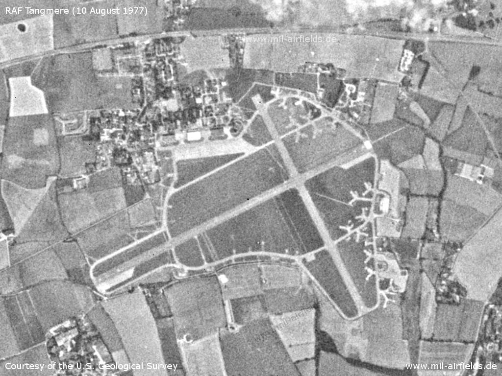
Satellite image from 10 August 1977 - At this time the airfield was already closed. (Source: U.S. Geological Survey)
Index to the objects shown on the maps
Aerodromes:
- Bournemouth Hurn, Dunsfold, Gatwick, Hythe Seaplane Base, Lee on Solent, Odiham, Southampton Eastleigh, Tangmere, Thorney Island, Wisley
Airspace:
- Airway Amber One / A1, Amber Two, A26, A30,
- Airway Blue One
- Airway Green One
- Airway Red One / R1
Radio beacons:
- Dunsford Range "DUN"
- Epsom NDB "EPM"
- Fawley NDB "FAW"
- Haslemere Fan Marker
- Ibsley Fan Marker
- Lyneham Eureka
- Middle Wallop NDB "MW"
- Seaford Fan Marker, VOR "SFD"
- Tangmere Eureka
- Thorney Island NDB "TI", TACAN "TIS"
Air traffic control:
- London Airways
Source for all maps, if not marked otherwise: US Department of Defense (US DoD)
Title image: English Electric Lightning at the Tangmere Museum, 2015.The aircraft flew in Saudi Arabia and was painted for the museum as RAF XR753.
Links
https://www.tangmere-museum.org.uk/ - Tangmere Military Aviation Museum
Recommended
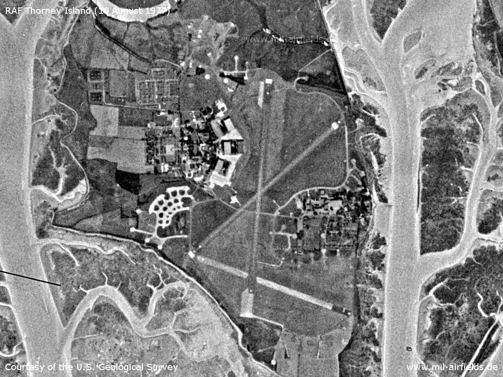
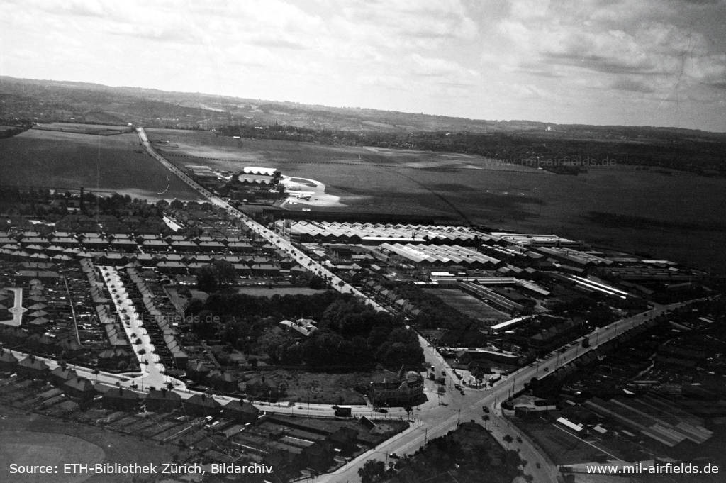

Image credits are shown on the respective target page, click on the preview to open it.
 mil-airfields.de at Facebook