RAF Thorney Island
RAF Thorney Island
Historical approach and aerodrome charts
For historical information only, do not use for navigation or aviation purposes!
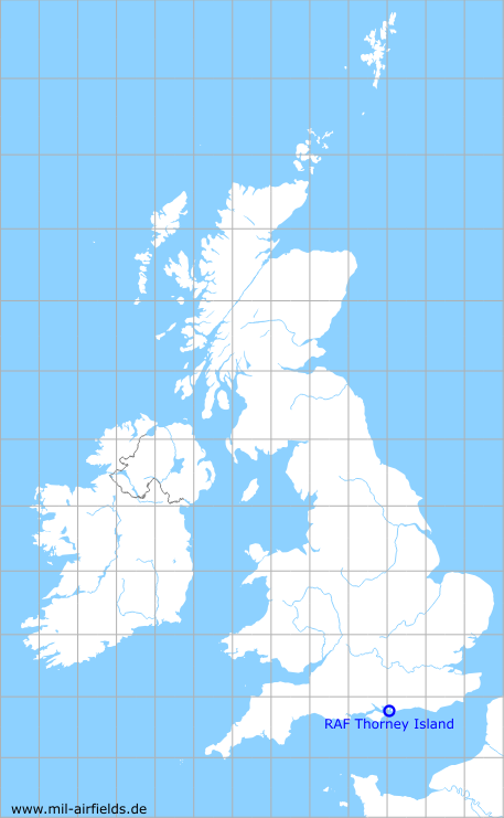
| Coordinates | N504903 W0005512 (WGS84) Google Maps |
| Region | Chichester, West Sussex, England |
| Location indicator | EGYT |
| Operator | Royal Air Force (RAF), Royal Canadian Air Force (RCAF), Fleet Air Arm, Royal Artillery |
In the 1960s
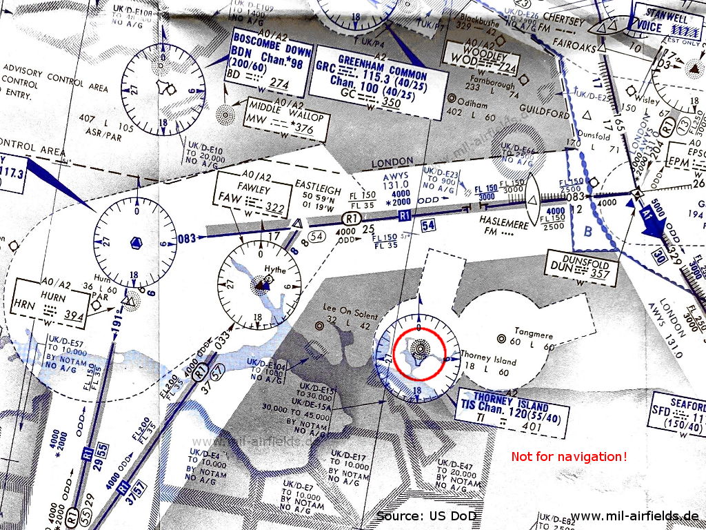
RAF Thorney Island airfield on an enroute chart from 14 November 1963 (Source: US DoD - USAF/USN)
In the 1970s
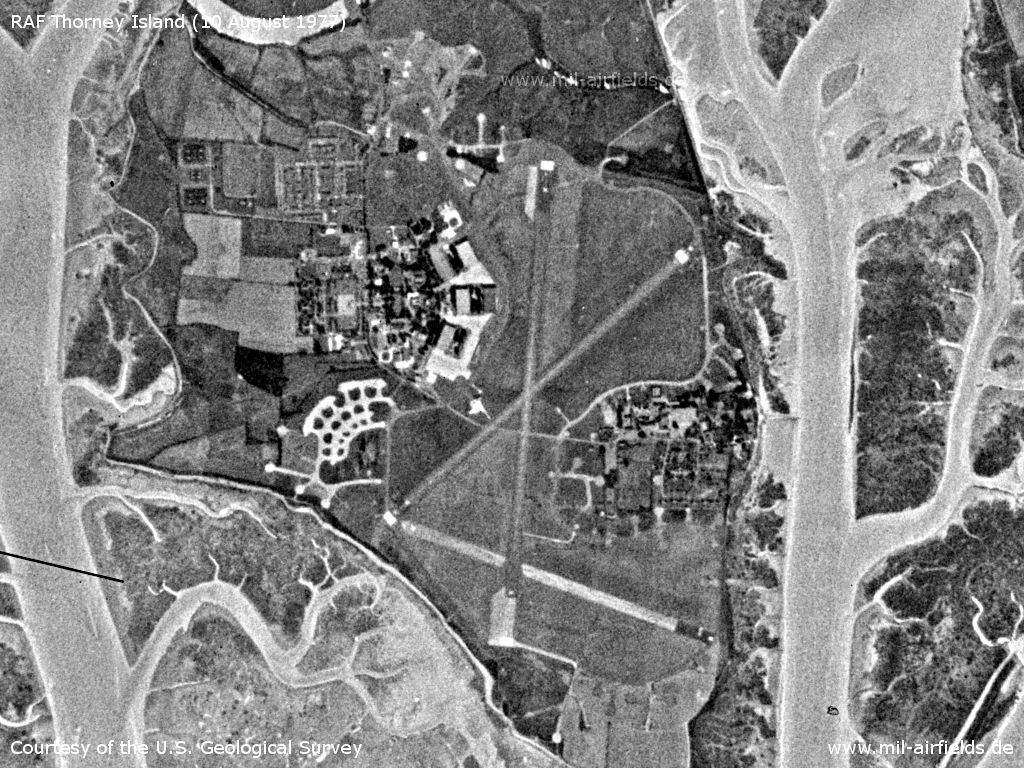
Satellite image from 10 August 1977 (Source: U.S. Geological Survey)
Index to the objects shown on the maps
Aerodromes:
- Blackbushe, Boscombe Down, Bournemouth Hurn, Dunsfold, Farnborough, Greenham Common, Hythe Seaplane Base, Lee on Solent, Odiham, Tangmere, Thorney Island, Wisley
Airspace:
- Airway R1
Radio beacons:
- Boscombe Down NDB "BD", TACAN "BDN"
- Dunsford Range "DUN"
- Epsom NDB "EPM"
- Fawley NDB "FAW"
- Greenham Common VOR "GRC", TACAN "GRC", NDB "GC"
- Haslemere Fan Marker
- Hurn NDB "HRN"
- Ibsley VOR "IBY"
- Middle Wallop NDB "MW"
- Seaford VOR "SFD"
- Stanwell Voice
- Thorney Island NDB "TI", TACAN "TIS"
Air traffic control:
- London Airways
Source for all maps, if not marked otherwise: US Department of Defense (US DoD)
Recommended
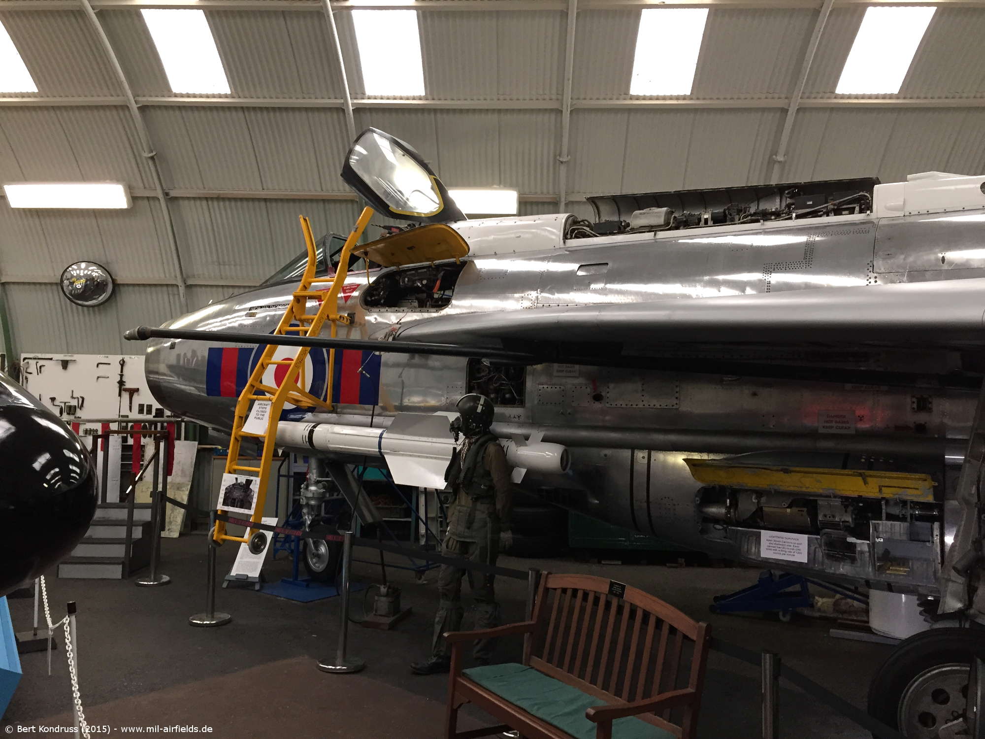
Image credits are shown on the respective target page, click on the preview to open it.
 mil-airfields.de at Facebook