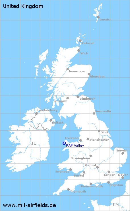
RAF Valley
RAF Valley
Historical approach and aerodrome charts for free download
For historical information only, do not use for navigation or aviation purposes!
| Coordinates | N531449 W0043159 (WGS84) Google Maps |
| Location indicator | MJXV, EGOV |
| Operator | Royal Air Force (RAF) |
In the 1950s

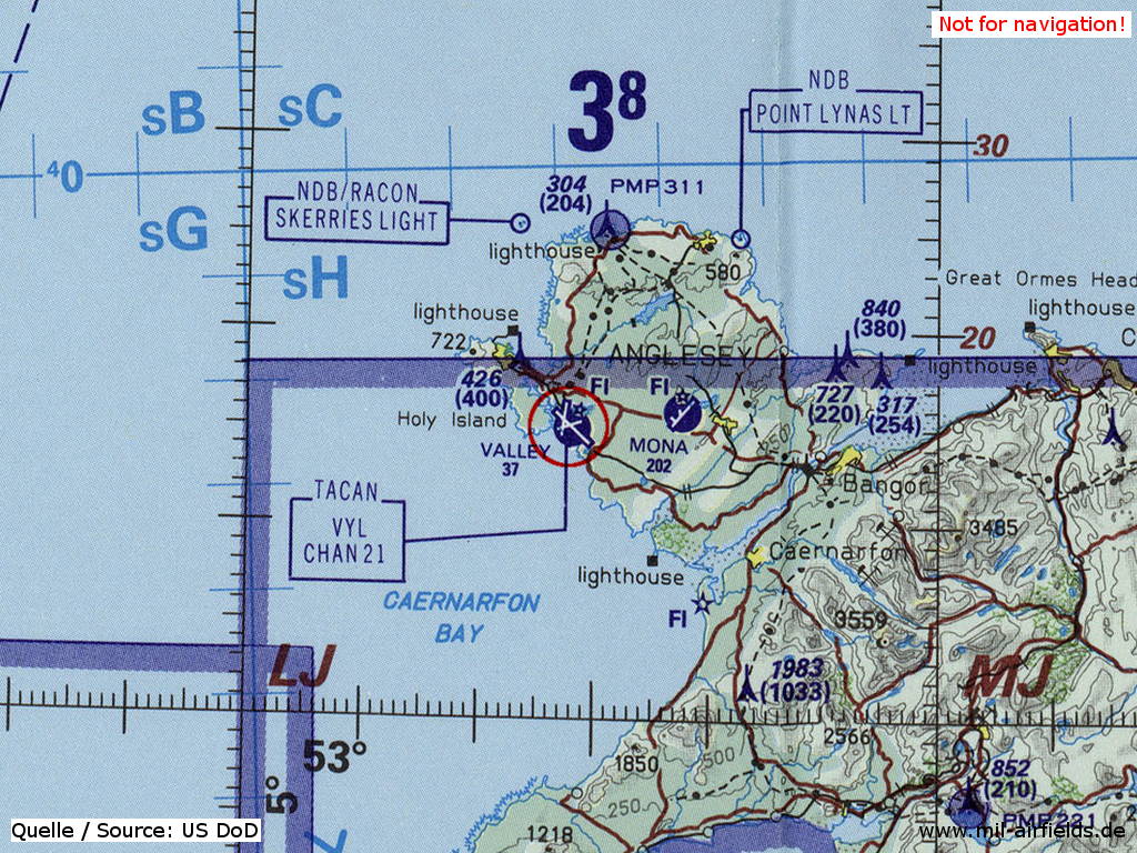
Approach (April 1954) - Airfields in the vicinity: Llandwrog, Mona (Source: US DoD)

Airfield (April 1954) - There are three runways - 14/32: length 1829 m, width 46 m (6000 feet x 150 feet), 02/20: length 1632 m, width 46 m (5355 feet x 150 feet), 08/26: length 1280 m, width 46 m (4200 feet x 150 feet). Remarkable is a curved section of approach lights to runway 08 on Holy Island west of the airfield (Source: US DoD)
In the 1990s
RAF Valley on a map of the US Department of Defense from 1993 (Source: ONC E-2 (1993), Perry-Castañeda Library Map Collection, University of Texas at Austin)
Source for all maps, if not marked otherwise: US Department of Defense (US DoD)
Recommended


Image credits are shown on the respective target page, click on the preview to open it.
 mil-airfields.de at Facebook